Rapid
MN
Significant rocky outcrop
Save this feature with the run it belongs to.
Gauge Conditions
Runnable: ? – ? CFS
Approximate - nearest available gauge. Use as general reference only.
Data from American Whitewater & USGS
Photo
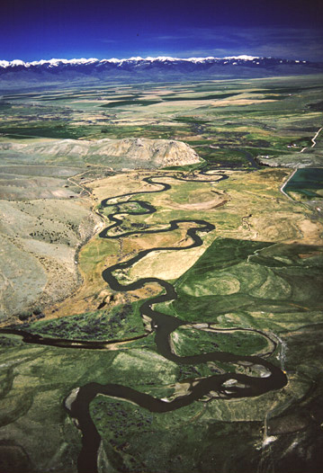
Photo courtesy of American Whitewater
Description
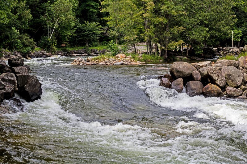
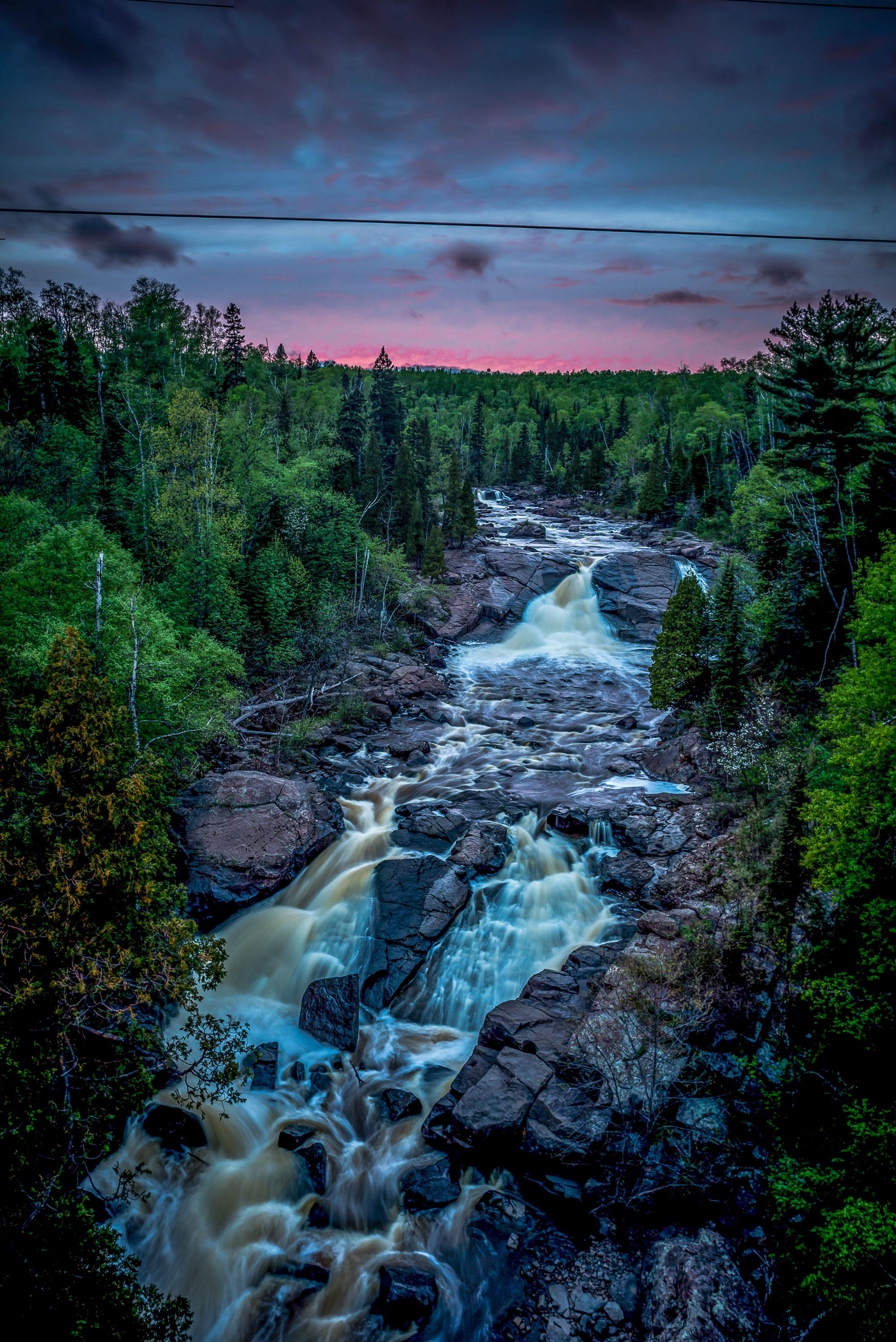
As the river hits the 1200' topo line, it encounters a significant rocky outcropping, and drops something near 50' in the next quarter-mile, with another 60' in the half-mile after that. Expect some good action, and be ready to scout and/or portage!
Location
Interactive river map
Loads as you approach this section.



View Full Run
A) Beaver River Road to CR5 (10.85 miles)
Beaver, E.Br.
II-III(IV)
9.6 mi
Current Conditions
5-Day Forecast
Whitewater data from
American Whitewater
American Whitewater