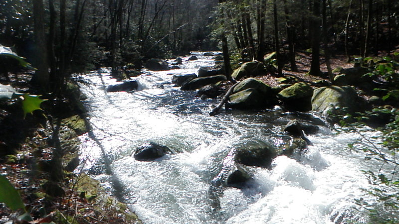
Last Rapid
Save this feature with the run it belongs to.
Gauge Conditions
Data from American Whitewater & USGS
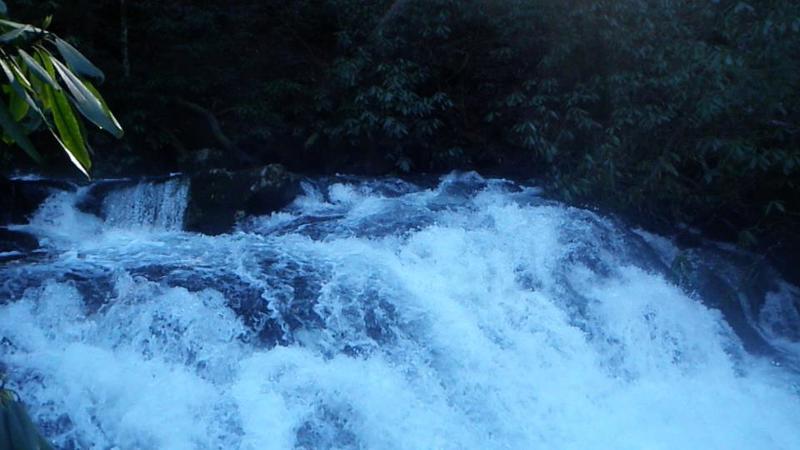
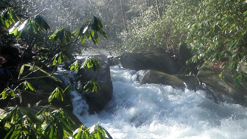
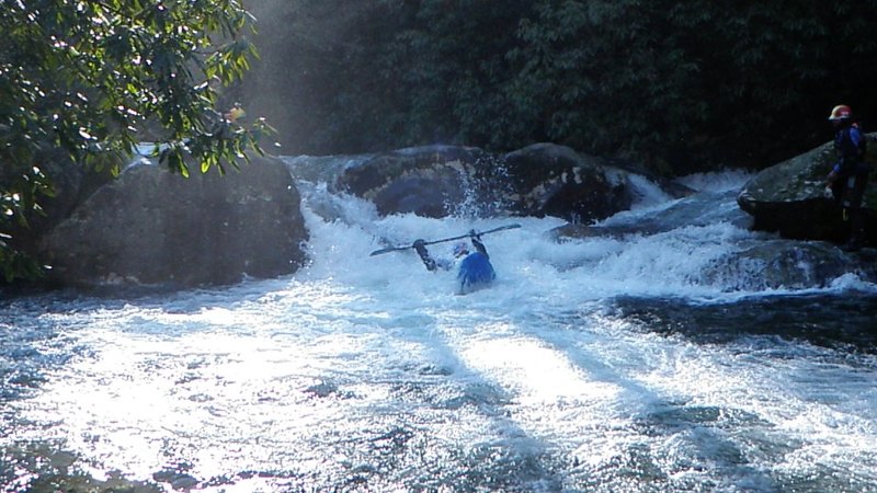
Photo
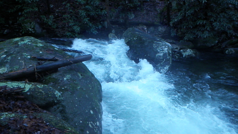
Photo courtesy of American Whitewater
Description
This was an S-Turn type of rapid that is the located at the big Log Jam. You have to paddle right up to the Log Jam in the center, then go Left to enter the S-turn. The huge rock in picture is the last part of the "S". Right after this, is a series of ledges & a boulder garden mixed in. Portage on River Left right as soon as you see the Big Log Jam. River right is walled out. At higher water this rapid would be a strainer city & hard to avoid.
Location
Interactive river map
Loads as you approach this section.
Other Rapids on This Run (7)

View Full Run
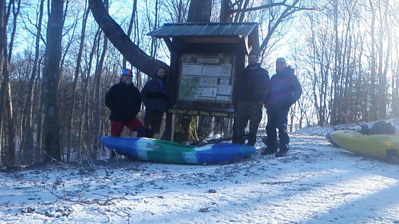
Upper Upper Upper (Section 1) - Chestnut Lead Trail to Hickory Creek Trail
Conasauga
III-IV+
4.6 mi
Current Conditions
5-Day Forecast
Whitewater data from
American Whitewater
American Whitewater