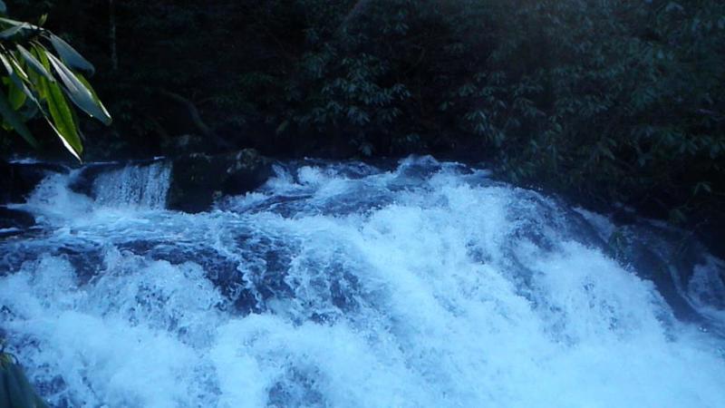
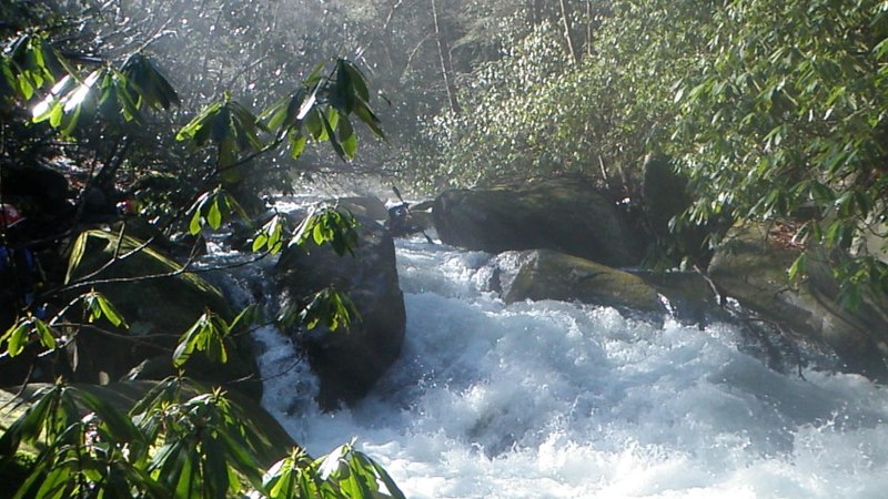
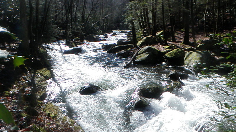
How's Your
River
×
Explore
Explore Map
Water Bodies
Gauges
Access Sites
Tidal Stations
Whitewater
Pricing
Login
Sign Up
Hazard Warning:
Hazard information may be user-submitted and unverified. Conditions change frequently. Always scout rapids and obstacles yourself.
Whitewater
Georgia
Conasauga - Upper Upper Upper (Section 1) - Chestnut Lead Trail to Hickory Creek Trail
Put-In Trail Head
Rapid
GA
Put-In Trail Head
Conasauga - Upper Upper Upper (Section 1) - Chestnut Lead Trail to Hickory Creek Trail (GA)
Monitor this Rapid
Water Body
This Run
Map
Other Rapids
Gauge
Weather
Directions
Gauge Conditions
Holly Creek near Chatsworth, GA
Upstream
Primary
Runnable: 300.0 – 2,000.0 CFS
Data from
American Whitewater
&
USGS
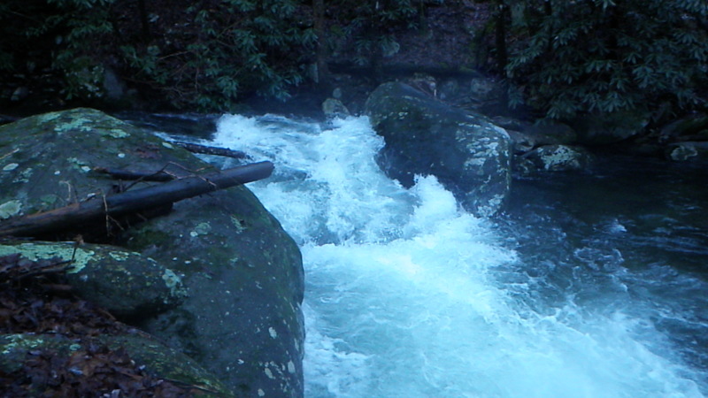
Photo
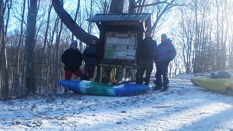
Photo courtesy of
American Whitewater
Location
Radar
Counties
Cell
Verizon
AT&T
T-Mobile
Dark
Satellite
Terrain
Other Rapids on This Run (7)
Rapid
IV
1st Rapid
0.0 mi
Rapid
N/A
Put In
0.0 mi
Rapid
IV+
2nd Rapid
0.2 mi
Rapid
III
Typical scene
1.5 mi
Rapid
IV+
3rd Rapid
2.8 mi
Rapid
III+
Last Rapid
3.3 mi
Rapid
N/A
Take Out
4.8 mi
Type
Rapid
Difficulty
Class N/A
Mile Marker
0.0 mi
Directions
Navigate
View Full Run
Upper Upper Upper (Section 1) - Chestnut Lead Trail to Hickory Creek Trail
Conasauga
III-IV+
4.6 mi
Current Conditions
5-Day Forecast
Whitewater data from
American Whitewater
Put-In Trail Head