Take-out
GA
Take Out
Save this feature with the run it belongs to.
Gauge Conditions
Data from American Whitewater & USGS
Photo
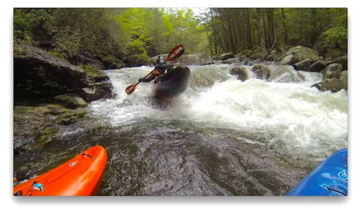
Photo courtesy of American Whitewater
Description
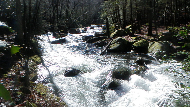
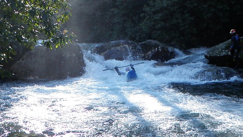
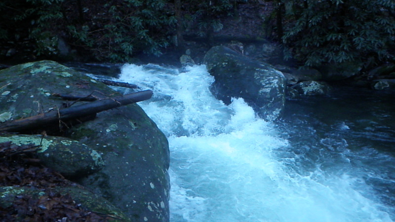
Take Out is the final navigable section of the Conasauga's uppermost reach, characterized by a boulder-strewn descent with multiple potential channel routes. The rapid requires precise maneuvering between large, partially submerged rocks and potential wood hazards, demanding careful boat placement and reading the water's flow. Paddlers should scout thoroughly and be prepared for tight, technical navigation with limited margin for error.
Location
Interactive river map
Loads as you approach this section.

View Full Run
Upper Upper Upper (Section 1) - Chestnut Lead Trail to Hickory Creek Trail
Conasauga
III-IV+
4.6 mi
Current Conditions
5-Day Forecast
Whitewater data from
American Whitewater
American Whitewater