Take-out
WA
Maple Creek Access
Save this feature with the run it belongs to.
Gauge Conditions
Runnable: 400.0 – 2,000.0 CFS
Data from American Whitewater & USGS
Description
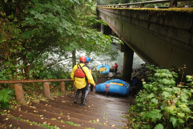
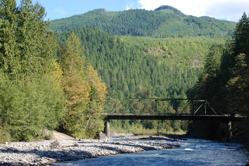
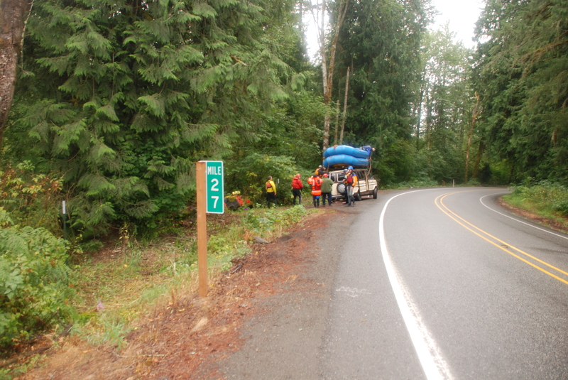
This access is at a small public parcel owned by Washington Department of Natural Resources at Highway mile 26.4. A cable is across the drive but you can typically get a couple cars off the road here and walk to the river. American Whitewater has worked to formalize this as a public access. The state got as far as developing a formal development plan for the site but has indicated they do not have the capacity for the project despite availability of funding.
Location
Interactive river map
Loads as you approach this section.
View Full Run
3 - Douglas Fir Campground to Mt. Baker Highway milepost 27
Nooksack, N. Fork
II-III
9.2 mi
Current Conditions
5-Day Forecast
Whitewater data from
American Whitewater
American Whitewater