Rapid
WA
Warnick Bridge Accesss
Save this feature with the run it belongs to.
Gauge Conditions
Runnable: 400.0 – 2,000.0 CFS
Data from American Whitewater & USGS
Photo
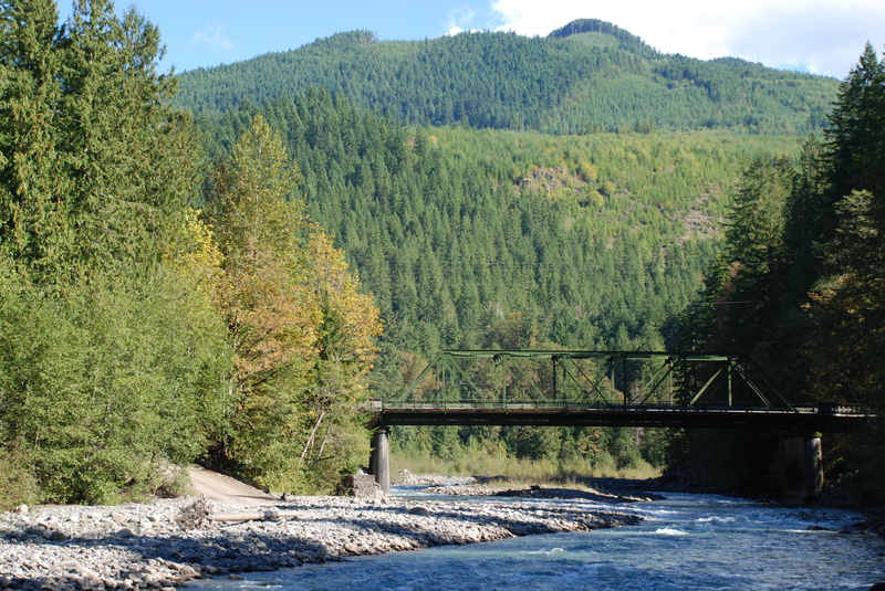
Photo courtesy of American Whitewater
Description
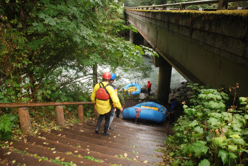
Access on the downstream river right side of the bridge administered by Whatcom County Parks. A small parking area administered by County Parks is located at Highway 542 mile 30.7. A gate prevents vehicles from driving on the old railroad grade so boaters have a short walk from the river access to the parking which is cumbersome for rafts.
Location
Interactive river map
Loads as you approach this section.
View Full Run
3 - Douglas Fir Campground to Mt. Baker Highway milepost 27
Nooksack, N. Fork
II-III
9.2 mi
Current Conditions
5-Day Forecast
Whitewater data from
American Whitewater
American Whitewater