Put-in
MT
Mid Creek Put-in
Save this feature with the run it belongs to.
Gauge Conditions
Runnable: ? – ? CFS
Approximate - nearest available gauge. Use as general reference only.
Data from American Whitewater & USGS
Photo
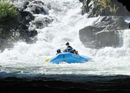
Photo courtesy of American Whitewater
Description
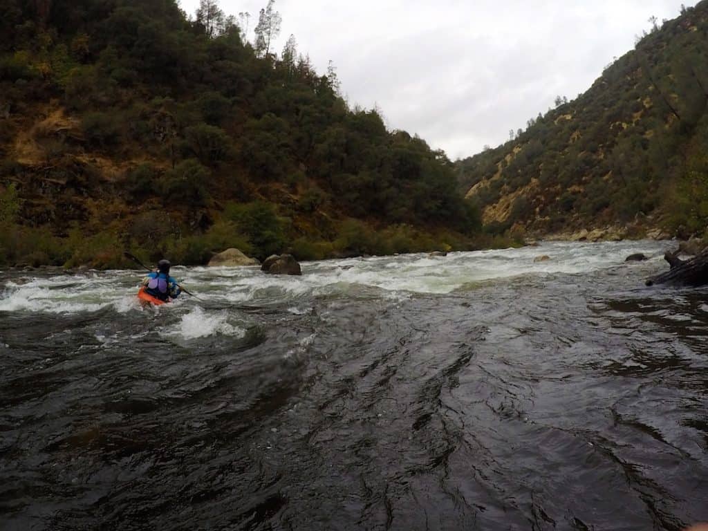
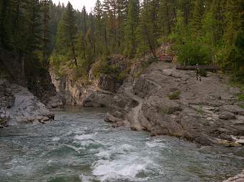
It's about a 3 mile hike into the Bob Marshall Wilderness to this access point marking the start of this section at Mid Creek confluence. It's about a mile downstream before the real action begins.
Location
Interactive river map
Loads as you approach this section.
Other Rapids on This Run (14)
 Rapid
III
Rapid
III
Gateway Rapid
 Rapid
II
Rapid
II
S Turn Rapid
 Rapid
III
Rapid
III
Sookie's Suckhole
 Rapid
III
Rapid
III
Bob's Canal
 Rapid
III
Rapid
III
Overboard
 Rapid
IV
Rapid
IV
Notch
 Rapid
V
Rapid
V
Thor's Hammer
 Rapid
V
Rapid
V
The Crack (aka The Slot)
 Rapid
Rapid
Bunker Creek
 Rapid
IV
Rapid
IV
The Gorge
 Rapid
Rapid
Trailhead Access Put-in
 Rapid
III
Rapid
III
White Fang
 Rapid
IV
Rapid
IV
Donkey Punch
 Rapid
Rapid
Take-out at Cedar Flats Access (Harrison Creek)
View Full Run
2. Mid Creek to Cedar Flats (Meadow Creek Gorge)
Flathead, South Fork
IV(V+)
5.7 mi
Current Conditions
5-Day Forecast
Whitewater data from
American Whitewater
American Whitewater