Take-out
MT
Take-out at Cedar Flats Access (Harrison Creek)
Save this feature with the run it belongs to.
Gauge Conditions
Runnable: ? – ? CFS
Approximate - nearest available gauge. Use as general reference only.
Data from American Whitewater & USGS
Photo
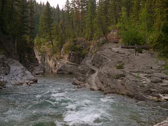
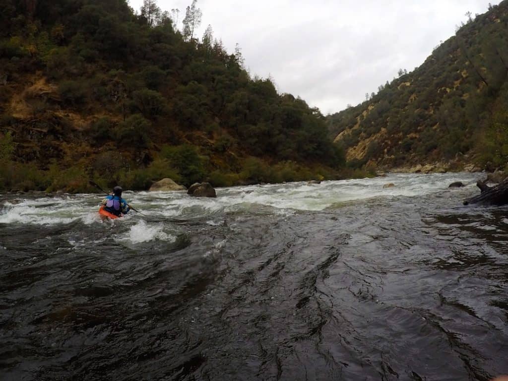
Photo courtesy of American Whitewater
Description
Take-out on river left across from Harrison Creek at Cedar Flats. It requires hiking up a steep 1/4 mile foot trail to a marked pull out at milepost 11 on Forest Road 2826.
Location
Interactive river map
Loads as you approach this section.
Other Rapids on This Run (14)
 Rapid
N/A
Rapid
N/A
Mid Creek Put-in
 Rapid
III
Rapid
III
Gateway Rapid
 Rapid
II
Rapid
II
S Turn Rapid
 Rapid
III
Rapid
III
Sookie's Suckhole
 Rapid
III
Rapid
III
Bob's Canal
 Rapid
III
Rapid
III
Overboard
 Rapid
IV
Rapid
IV
Notch
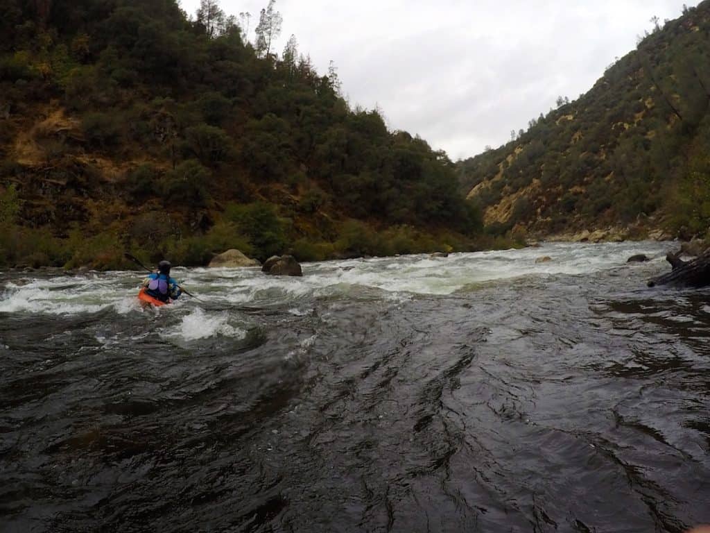 Rapid
V
Rapid
V
Thor's Hammer
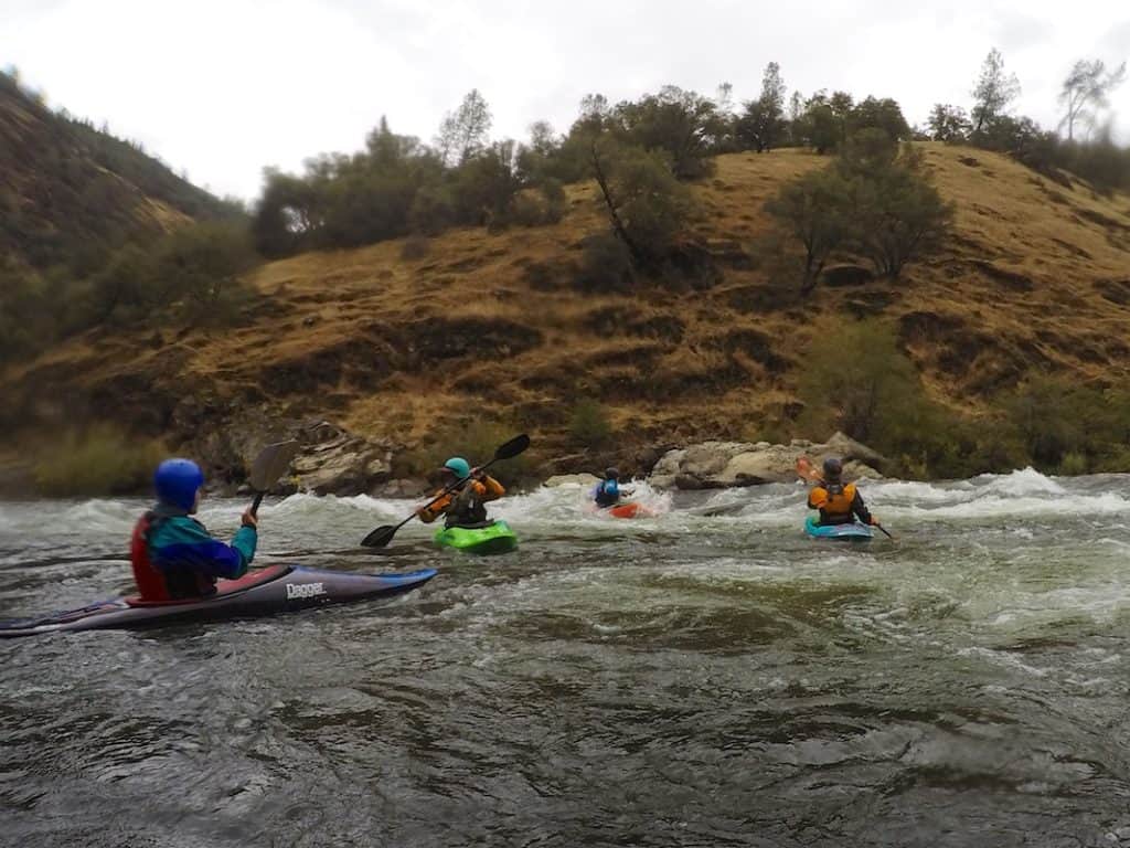 Rapid
V
Rapid
V
The Crack (aka The Slot)
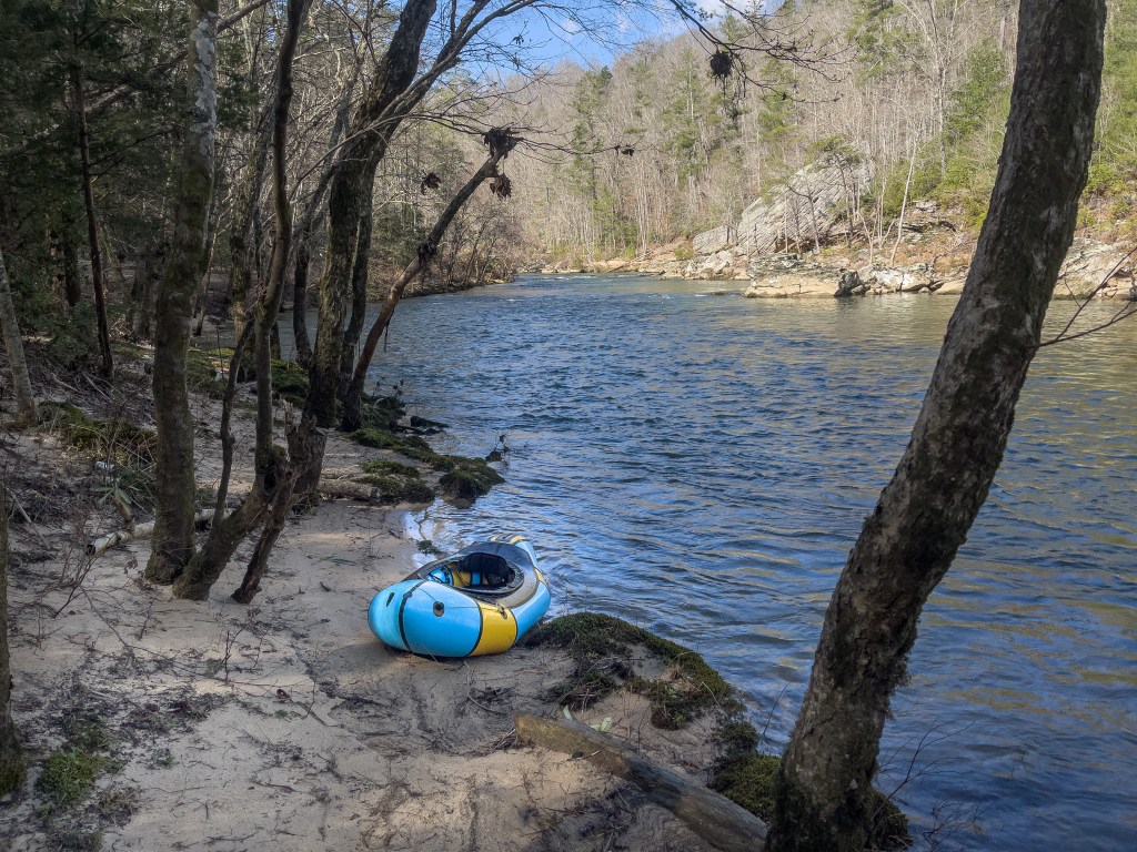 Rapid
Rapid
Bunker Creek
 Rapid
IV
Rapid
IV
The Gorge
 Rapid
Rapid
Trailhead Access Put-in
 Rapid
III
Rapid
III
White Fang
 Rapid
IV
Rapid
IV
Donkey Punch
View Full Run
2. Mid Creek to Cedar Flats (Meadow Creek Gorge)
Flathead, South Fork
IV(V+)
5.7 mi
Current Conditions
5-Day Forecast
Whitewater data from
American Whitewater
American Whitewater