Rapid
TX
Miller Creek Confluence
Save this feature with the run it belongs to.
Gauge Conditions
Runnable: 1,500.0 – 15,000.0 CFS
At these levels, Pedernales Falls is a good park 'n' huck, but the river is too low for a downriver run.
Data from American Whitewater & USGS
Photo
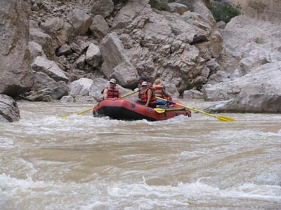
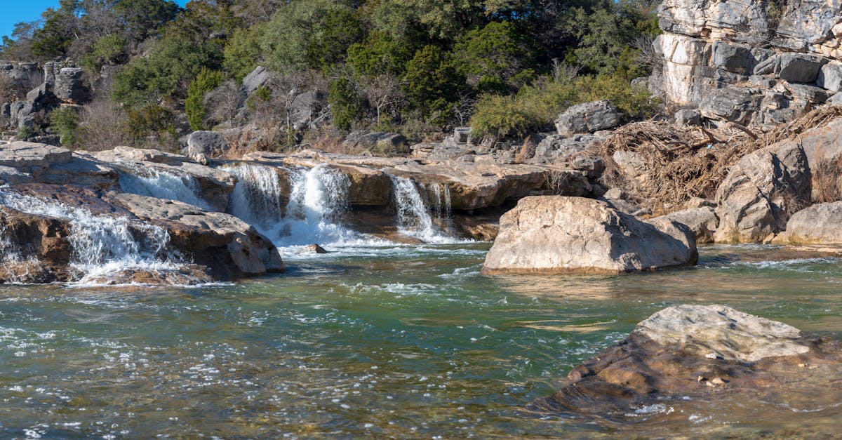
Photo courtesy of American Whitewater
Description
Miller Creek Confluence marks the entry point where Miller Creek joins the Pedernales River, creating a potential navigation challenge for paddlers due to potential debris and shifting currents. While specific technical details are limited, paddlers should approach this confluence with caution, maintaining awareness of potential submerged obstacles and sudden water movement where the two waterways meet.
Location
Interactive river map
Loads as you approach this section.

View Full Run
2. Johnson City to Pedernales Falls SP (20 miles)
Pedernales
II-IV(V)
20.3 mi
Current Conditions
5-Day Forecast
Whitewater data from
American Whitewater
American Whitewater