Rapid
TX
State Park Boundary
Save this feature with the run it belongs to.
Gauge Conditions
Runnable: 1,500.0 – 15,000.0 CFS
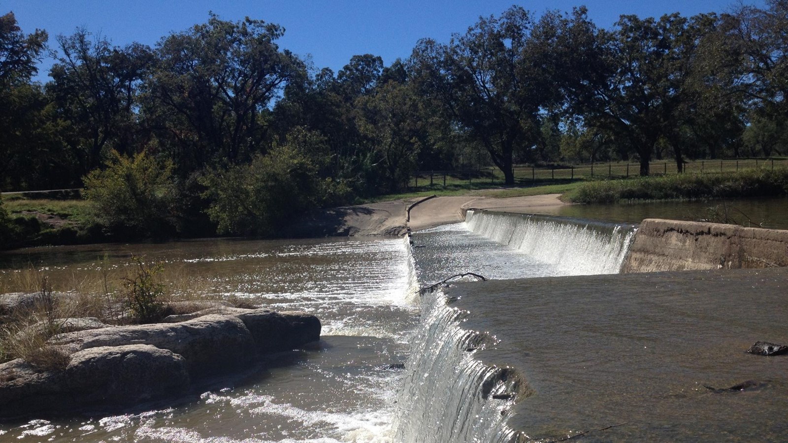
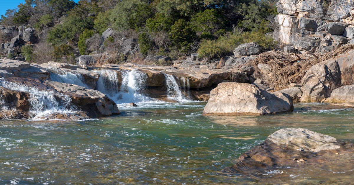
At these levels, Pedernales Falls is a good park 'n' huck, but the river is too low for a downriver run.
Data from American Whitewater & USGS
Description
Alternate takeout for those who would prefer to carry their boat a mile rather than portage/run the falls and do the 3-mile paddle-out. A trail system leads back to the Pedernales Falls parking area/trailhead.
Location
Interactive river map
Loads as you approach this section.

View Full Run
2. Johnson City to Pedernales Falls SP (20 miles)
Pedernales
II-IV(V)
20.3 mi
Current Conditions
5-Day Forecast
Whitewater data from
American Whitewater
American Whitewater