Hazard
TX
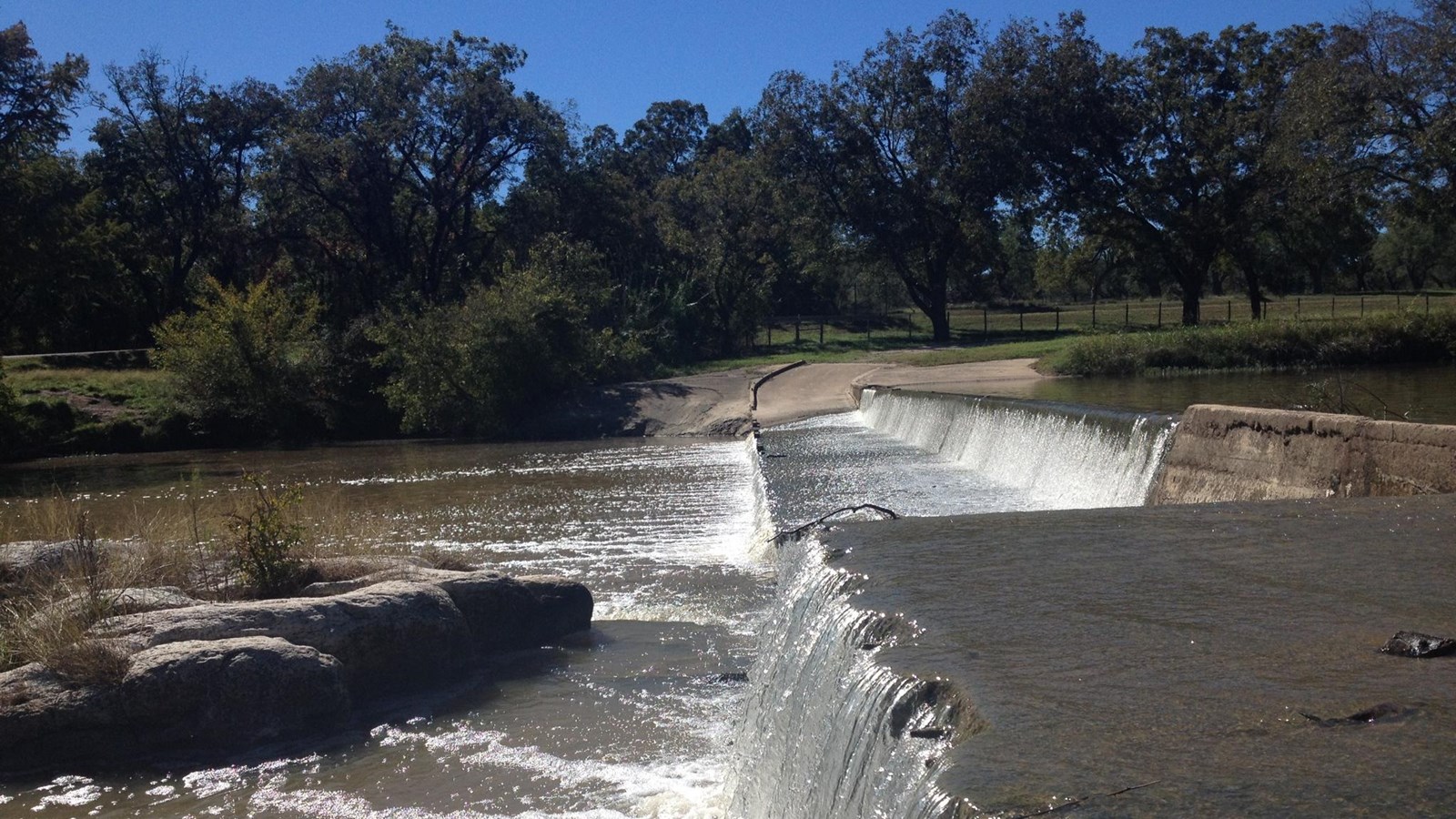
Pedernales Hills Rd (Low Bridge)
Save this feature with the run it belongs to.
Gauge Conditions
Runnable: 1,500.0 – 15,000.0 CFS
At these levels, Pedernales Falls is a good park 'n' huck, but the river is too low for a downriver run.
Data from American Whitewater & USGS
Photo

Photo courtesy of American Whitewater
Description
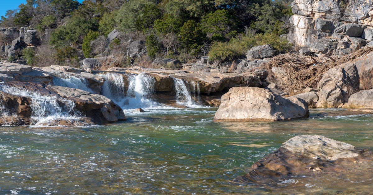
At the Low Bridge on Pedernales Hills Road, paddlers encounter a potential hazard with submerged rocks and variable water conditions that demand careful navigation. The rapid's characteristics can shift dramatically with water levels, creating unpredictable challenges that require precise boat control and situational awareness. Scouting this section is recommended, as the underwater terrain and potential obstructions can pose significant risks to even experienced whitewater paddlers.
Location
Interactive river map
Loads as you approach this section.
View Full Run
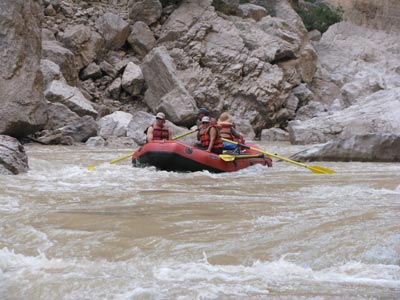
2. Johnson City to Pedernales Falls SP (20 miles)
Pedernales
II-IV(V)
20.3 mi
Hazard — Exercise extreme caution in this area.
Current Conditions
5-Day Forecast
Whitewater data from
American Whitewater
American Whitewater