Rapid
MN
Mouth
Save this feature with the run it belongs to.
Gauge Conditions
Runnable: ? – ? CFS
Approximate - nearest available gauge. Use as general reference only.
Data from American Whitewater & USGS
Photo
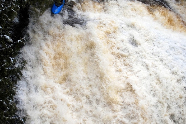
Photo courtesy of American Whitewater
Description
The Mouth rapid marks the Devil Track River's dramatic finale as it empties into Lake Superior, presenting paddlers with a complex transition from river to lake. Navigating this confluence requires careful right-side positioning to safely beach and manage the potential for sudden lake conditions and wave interaction.
Location
Interactive river map
Loads as you approach this section.
Other Rapids on This Run (11)
View Full Run
B) Maple Hill to Lake Superior (5.4 miles)
Devil Track
II-V
4.5 mi
Current Conditions
5-Day Forecast
Whitewater data from
American Whitewater
American Whitewater