NOTICE:
Save this feature with the run it belongs to.
Gauge Conditions
Approximate - nearest available gauge. Use as general reference only.
Photo
Description
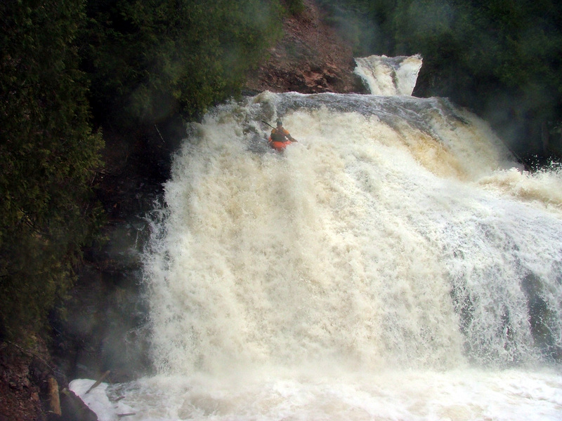
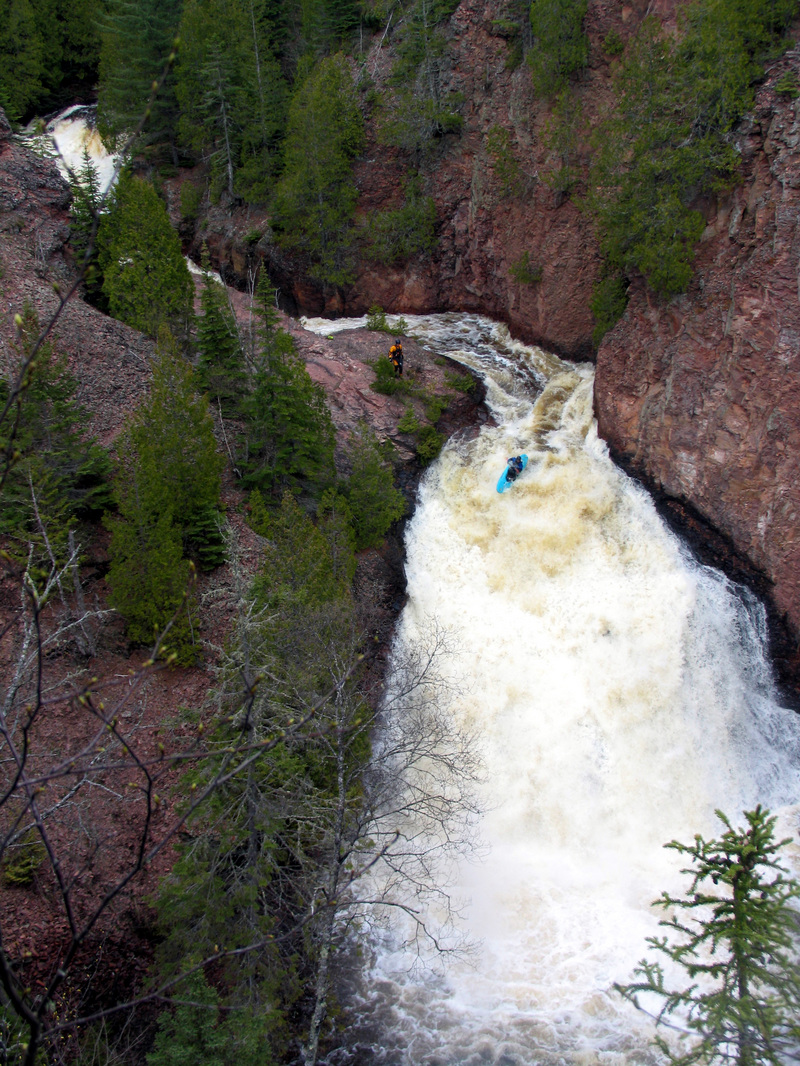
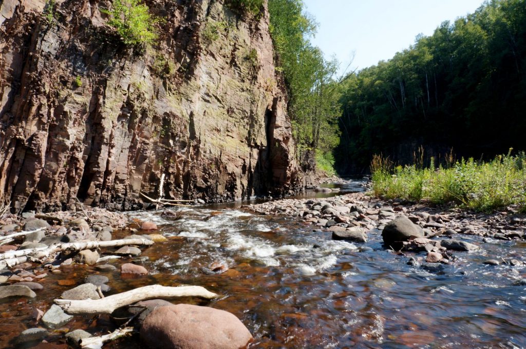
The deep canyon and high shadows (on aerial views) preclude identifying most of the features on this run. As a result, most of what is listed here are 'waypoints' rather than rapids. As stated in the description, this is serious stuff. Absent someone who knows the run, you will need to exercise major caution, getting out to scout numerous times where the river twists and drops steeply away. Near-vertical walls in crux locations make scouting and portaging difficult to impossible in places. Serious rock-climbing skills and equipment are strongly recommended. Notably "Pitchfork Falls" (or "Barrier Falls"), which is about a mile up from Hwy.61, requires awareness to get out early to portage.
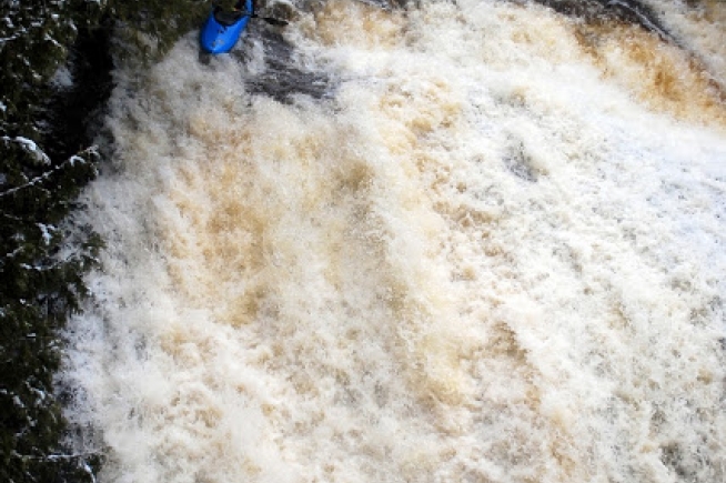
Enjoy the following video showing some of this run. Note: I have cued it to start at 4:49 into the video to skip some extended coverage of a couple initial runs of the first pitch, one of which resulted in a swim. If you replay the video (or click/drag the slider back to the beginning) you will see that additional coverage.
Location
Other Rapids on This Run (11)
Current Conditions
5-Day Forecast
American Whitewater