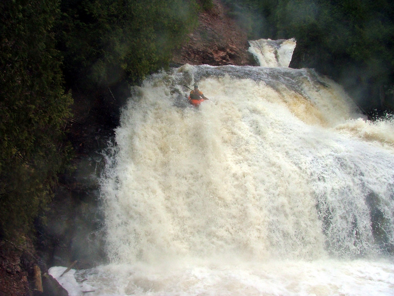
Rapid
MN
Superior Hiking Trail Bridge
Save this feature with the run it belongs to.
Gauge Conditions
Runnable: ? – ? CFS
Approximate - nearest available gauge. Use as general reference only.
Data from American Whitewater & USGS
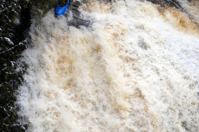
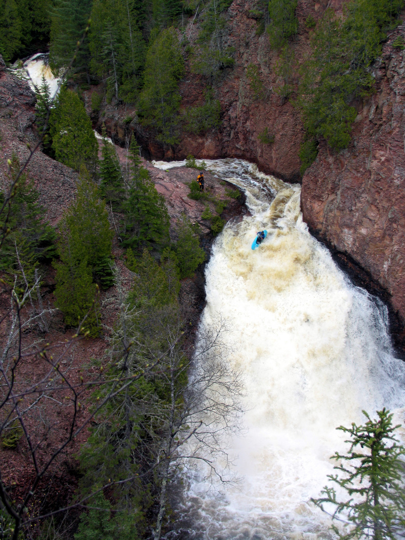
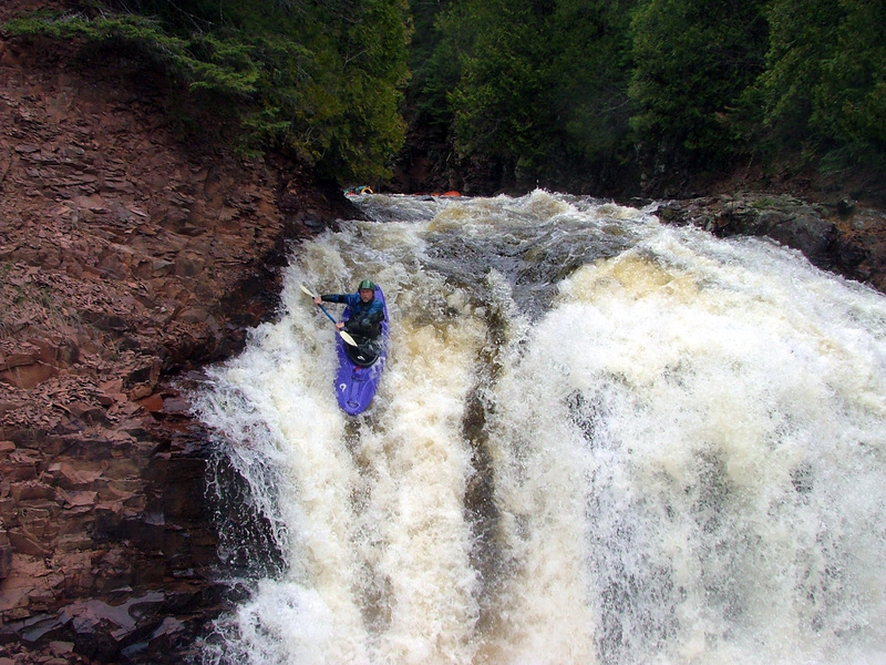
Photo
Photo courtesy of American Whitewater
Description
The Superior Hiking Trail Bridge rapid on the Devil Track River offers a technical descent through a narrow, boulder-strewn section with limited route options. Paddlers must carefully navigate tight passages between rocks and anticipate potential pinning hazards, making precise boat positioning critical for a clean run.
Location
Interactive river map
Loads as you approach this section.


View Full Run
B) Maple Hill to Lake Superior (5.4 miles)
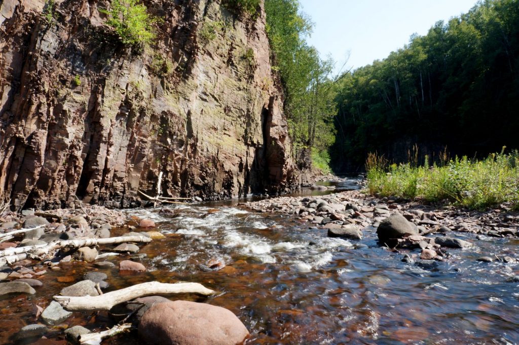
Devil Track
II-V
4.5 mi
Current Conditions
5-Day Forecast
Whitewater data from
American Whitewater
American Whitewater