Narrow Rapid
Save this feature with the run it belongs to.
Gauge Conditions
Runnable: ? – ? CFS
Approximate - nearest available gauge. Use as general reference only.
Data from American Whitewater & USGS
Photo
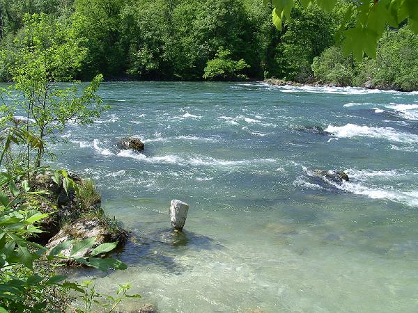
Photo courtesy of American Whitewater
Description
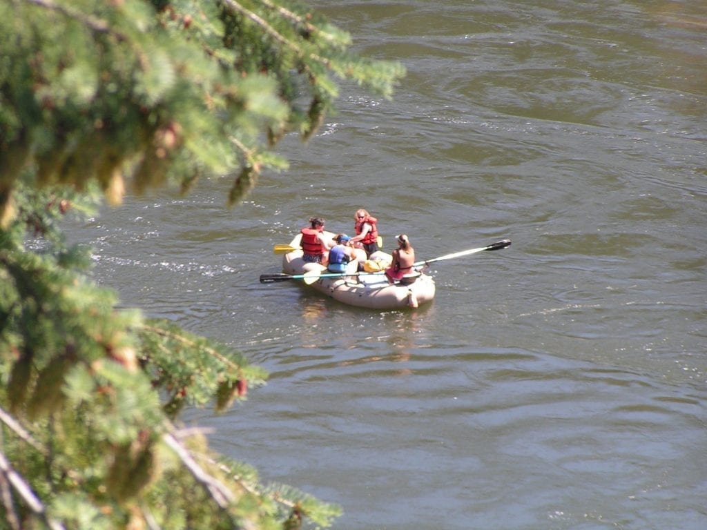
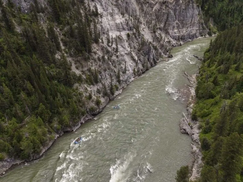
The river bends northeast to go around a promontory across from Cedar Creek. The first rapid is a narrow, straight chute leading into flat water of a horseshoe bend. This rapid is about 80 yards long.
Location
Interactive river map
Loads as you approach this section.
Other Rapids on This Run (16)
 Rapid
N/A
Rapid
N/A
Trail Creek Rd bridge
 Rapid
N/A
Rapid
N/A
Possible Access
Rapid
N/A
Possible Access
 Rapid
III+
Rapid
III+
Ledge Drops
 Rapid
III+
Rapid
III+
Start of Continuous Whitewater
 Rapid
IV+
Rapid
IV+
Big Rapid
Rapid
V
Big Rapid
 Rapid
III+
Rapid
III+
Island Rapid
 Hazard
V
Hazard
V
Teller Tube
Rapid
IV
Big Rapid
 Rapid
V
Rapid
V
Two Big Rapids
Rapid
V
Big Rapid
 Rapid
V
Rapid
V
Very Big Rapid
 Rapid
III
Rapid
III
Cedar Creek Rapid
Rapid
N/A
Possible Access
Rapid
N/A
Possible Access
View Full Run
Trail Creek Bridge to Cedar Creek (near Aldridge)
Blackfoot
IV-V
10.0 mi
Current Conditions
5-Day Forecast
Whitewater data from
American Whitewater
American Whitewater