Put-in
ID
Trail Creek Rd bridge
Save this feature with the run it belongs to.
Gauge Conditions
Runnable: ? – ? CFS
Approximate - nearest available gauge. Use as general reference only.
Data from American Whitewater & USGS
Photo
Photo courtesy of American Whitewater
Description
The easiest parking and put ins, appear to be off a spur just upstream of this bridge or at the campground entrance just downstream. All river miles for listed rapids are from this bridge as measured with Google Earth.
Location
Interactive river map
Loads as you approach this section.
Other Rapids on This Run (16)
 Rapid
N/A
Rapid
N/A
Possible Access
Rapid
N/A
Possible Access
 Rapid
III+
Rapid
III+
Ledge Drops
 Rapid
III+
Rapid
III+
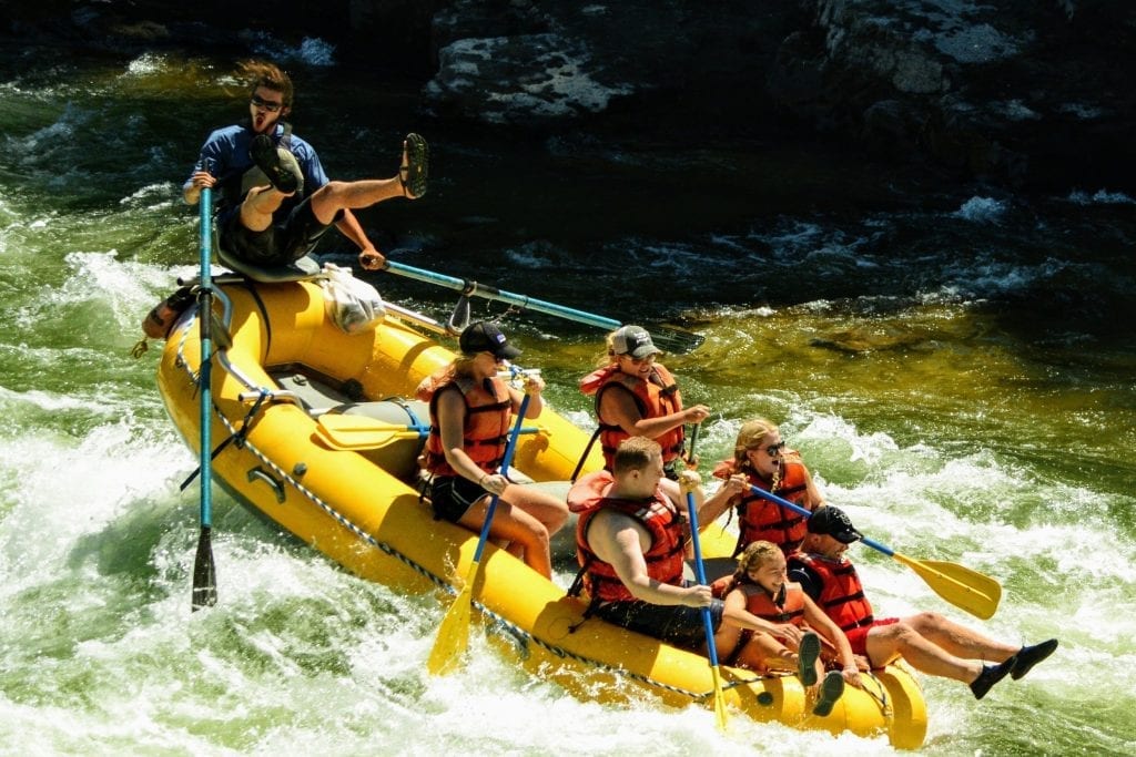
Start of Continuous Whitewater
 Rapid
IV+
Rapid
IV+
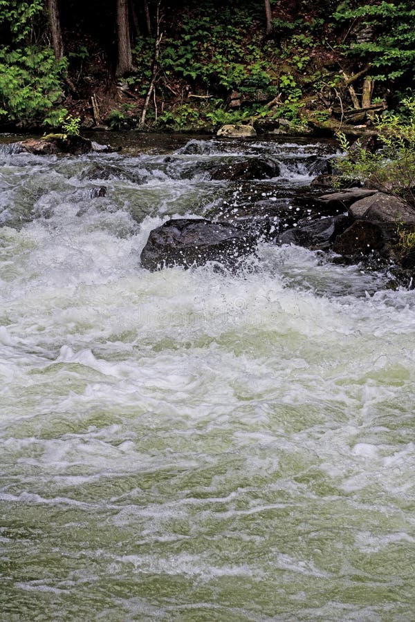
Big Rapid
Rapid
V
Big Rapid
 Rapid
III+
Rapid
III+
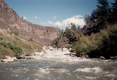
Island Rapid
 Hazard
V
Hazard
V
Teller Tube
Rapid
IV
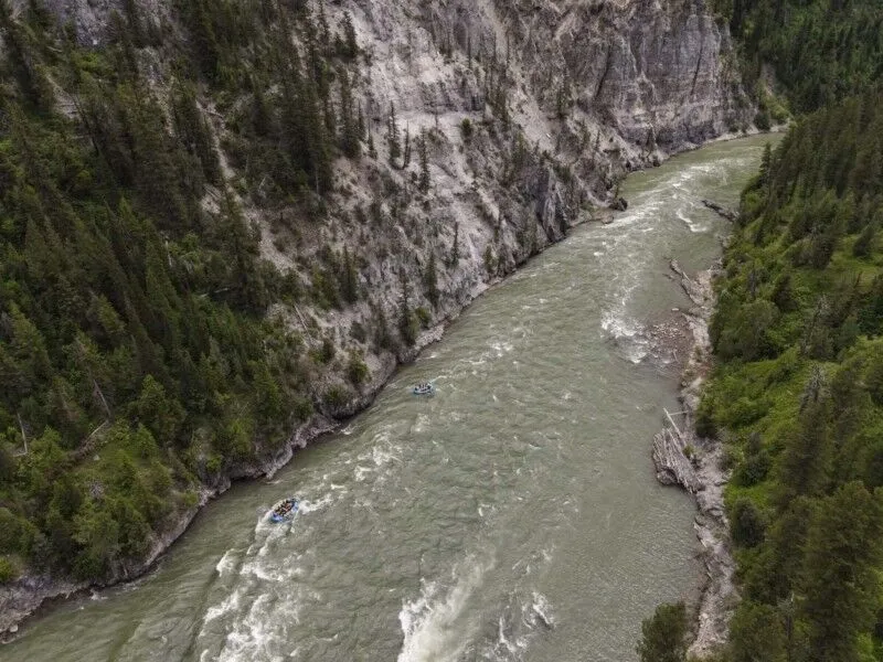
Big Rapid
 Rapid
V
Rapid
V
Two Big Rapids
Rapid
V
Big Rapid
 Rapid
V
Rapid
V
Very Big Rapid
 Rapid
IV
Rapid
IV
Narrow Rapid
 Rapid
III
Rapid
III
Cedar Creek Rapid
Rapid
N/A
Possible Access
Rapid
N/A
Possible Access
View Full Run
Trail Creek Bridge to Cedar Creek (near Aldridge)
Blackfoot
IV-V
10.0 mi
Current Conditions
5-Day Forecast
Whitewater data from
American Whitewater
American Whitewater