Narrows
Save this feature with the run it belongs to.
Gauge Conditions
Runnable: 150.0 – 1,000.0 CFS
Perhaps low-to-moderate. Good beginner/intermediate whitewater play. (We welcome your input. Leave a comment or report.)
Data from American Whitewater & USGS
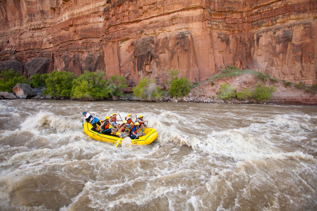
Photo
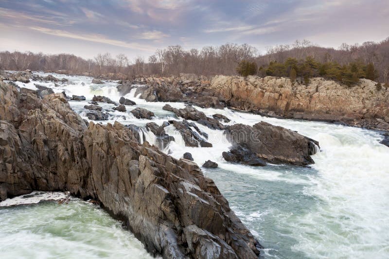
Photo courtesy of American Whitewater
Description
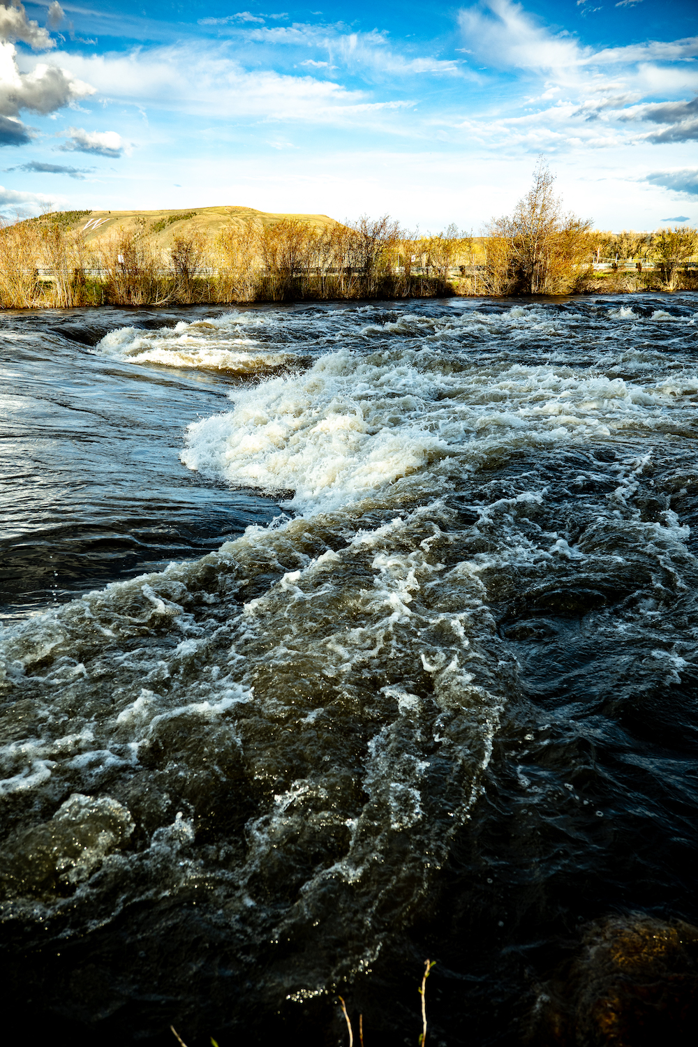
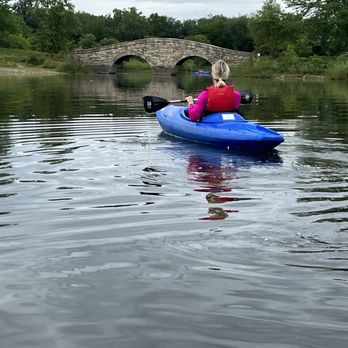
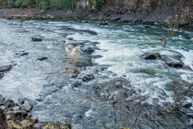
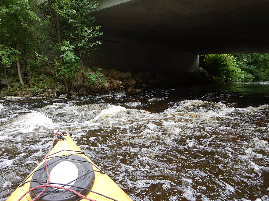
Shortly after leaving Railroad, one enters a slight narrowing of the river identified by old bridge abutments and overhead high-tension power lines. At some flows, this short section of river provides some fun splishy-splashy wave trains, but usually not much surfing or ferrying opportunity.
A dog-leg to the right marks the end of this section and the approach to Shepley Road.
Location
Interactive river map
Loads as you approach this section.
Other Rapids on This Run (16)
 Rapid
N/A
Rapid
N/A
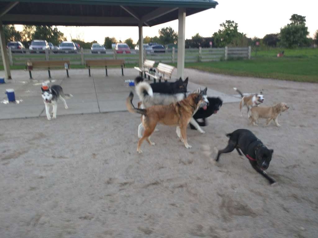
Put In Parking (Hammel Woods Campground, Dog Park, and Du Page River Access)
 Rapid
N/A
Rapid
N/A
Put-in
 Rapid
N/A
Rapid
N/A
Islands
 Rapid
I+
Rapid
I+
Small Ledge
 Hazard
N/A
Hazard
N/A
Former site of Hammel Woods Dam (now removed!)
 Playspot
I
Playspot
I
Beautification Dam At Turtle Hill Park
 Rapid
I
Rapid
I
Rock Dam (Shoals)
 Rapid
I
Rapid
I
Seil Road / Seil Road Park / Large Island
 Rapid
N/A
Rapid
N/A
River Crossing Drive
 Rapid
N/A
Rapid
N/A
215th Street / W.Mound Rd
 Rapid
N/A
Rapid
N/A
I-80 Bridge
 Rapid
I
Rapid
I
Riffles and Fishet
 Playspot
I
Playspot
I
S-Turn
 Rapid
I
Rapid
I
Railroad
 Rapid
I
Rapid
I
Shepley Road (! ACCESS ISSUES !)
 Rapid
I
Rapid
I
McEvilly Road (Hwy.32) Access
View Full Run
Shorewood: W.Black Road to W.Shepley Rd. (6.6 miles)
DuPage
I(II)
6.6 mi
Current Conditions
5-Day Forecast
Whitewater data from
American Whitewater
American Whitewater