Shepley Road (! ACCESS ISSUES !)
Save this feature with the run it belongs to.
Gauge Conditions
Perhaps low-to-moderate. Good beginner/intermediate whitewater play. (We welcome your input. Leave a comment or report.)
Photo
Description
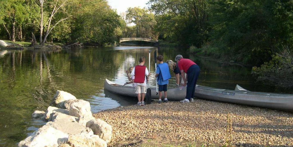
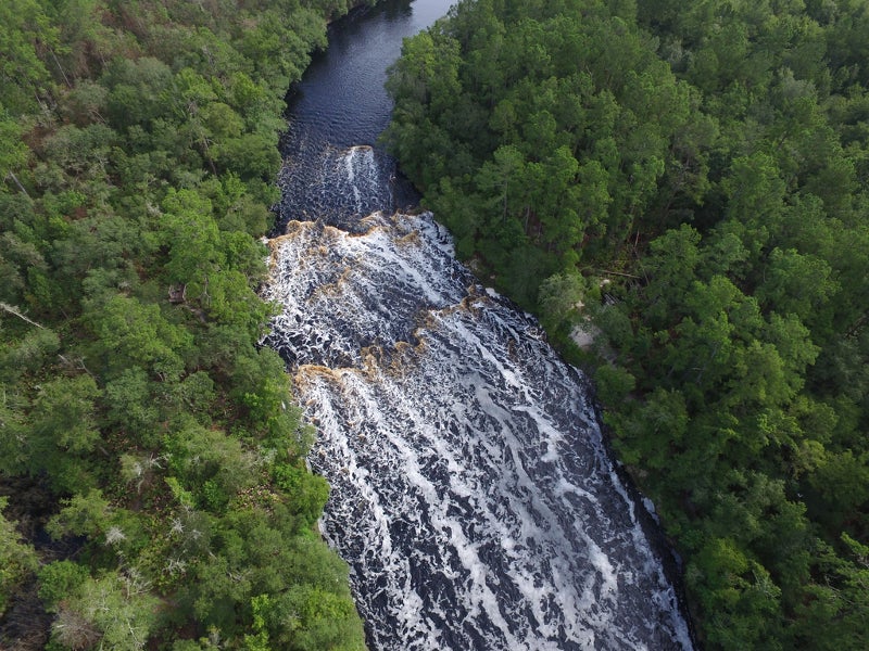
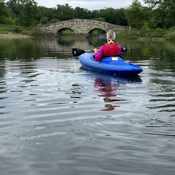
Shepley Road has been a common take-out for the DuPage, although not an official river access point. The property on river right at the bridge is owned and maintained by the Forest Preserve District of Will County (IL), and is posted accordingly. About 100 yards downstream the riverbank reverts to private property.
There have been some access problems (see comments related to access issues at this location). As a result, other access points may need be used instead.
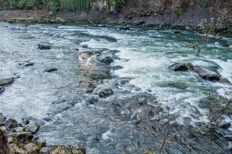
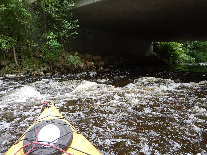
Only those with good boat control should consider moving past the Shepley Road Bridge due to the increased hazards that follow. Just downstream of the bridge, some shoals divert water strongly to the right, making a nice wave train BUT also a risk of entangling with deadfall. More skilled paddlers will enjoy catching the micro eddies in swift current here.
Location
Other Rapids on This Run (16)
 Rapid
N/A
Rapid
N/A
 Rapid
N/A
Rapid
N/A
 Rapid
N/A
Rapid
N/A
 Rapid
I+
Rapid
I+
 Hazard
N/A
Hazard
N/A
 Playspot
I
Playspot
I
 Rapid
I
Rapid
I
 Rapid
I
Rapid
I
 Rapid
N/A
Rapid
N/A
 Rapid
N/A
Rapid
N/A
 Rapid
N/A
Rapid
N/A
 Rapid
I
Rapid
I
 Playspot
I
Playspot
I
 Rapid
I
Rapid
I
 Rapid
I
Rapid
I
 Rapid
I
Rapid
I
Current Conditions
5-Day Forecast
American Whitewater