Put-in
WI
Newald Tower Road
Save this feature with the run it belongs to.
Gauge Conditions
Runnable: 200.0 – 1,000.0 CFS
Too low for reasonable whitewater. (May be paddled as a scenic float trip, but all gradient will be a scrape or carry.)
Data from American Whitewater & USGS
Description
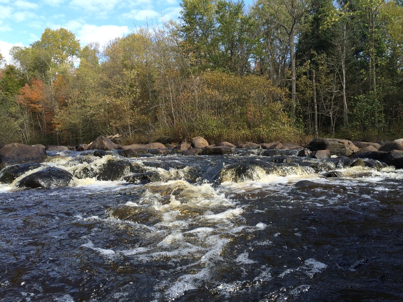
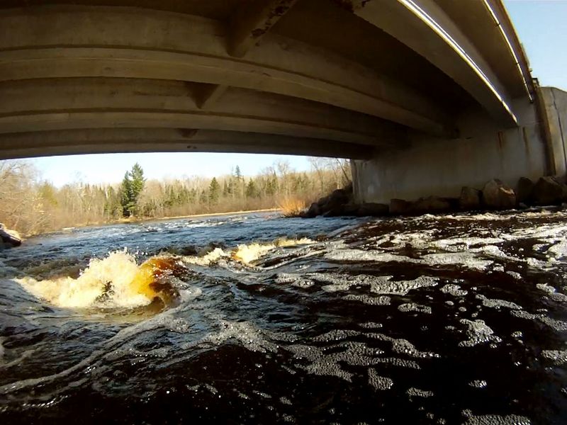
Landing is tucked in near right foot of bridge immediately at the end of NT Rapids. A rarely used staff gauge is on the downriver, left bridge abutment.
Drainage area at this point is 88.4 square miles (as calculated by USGS StreamStats v4.1.8 software). Drainage area at the USGS gauge is 139 square miles, so actual flow at this put-in might be ~0.6*gauge-reading (or, more closely, 5/8ths gauge reading).
Location
Interactive river map
Loads as you approach this section.
View Full Run
B) Newald Tower Rd to Morgan Lake Rd (4.7 miles)
Popple
I-II
4.6 mi
Current Conditions
5-Day Forecast
Whitewater data from
American Whitewater
American Whitewater