No Way Out
Save this feature with the run it belongs to.
Gauge Conditions
Runnable: ? – ? CFS
Approximate - nearest available gauge. Use as general reference only.
Data from American Whitewater & USGS
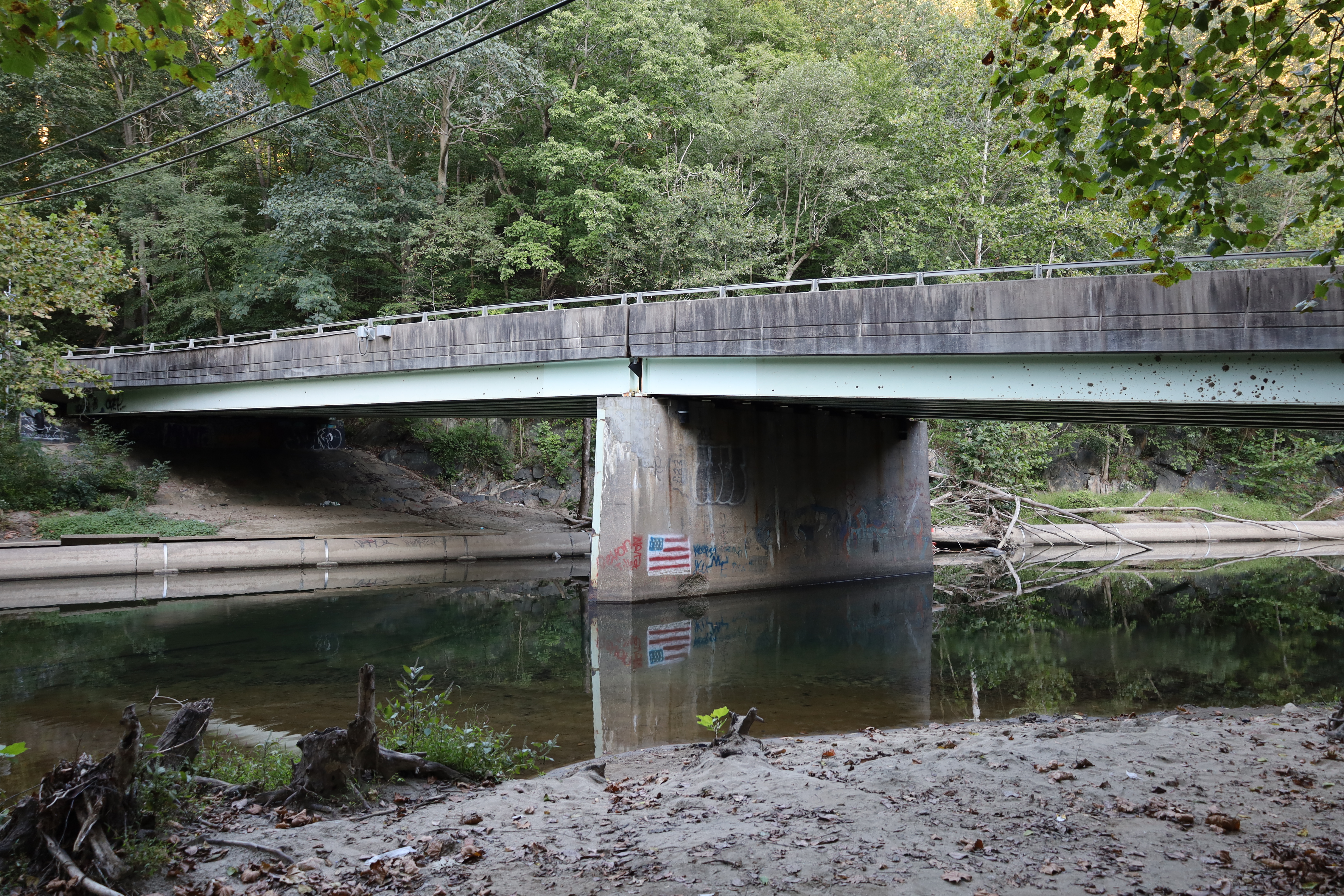
Photo
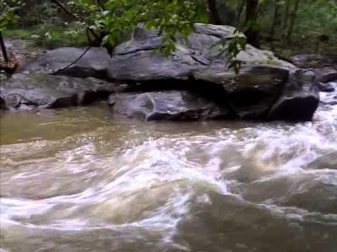
Photo courtesy of American Whitewater
Description
You'll come to a large rock in the center of the Stream, pull out and scout. Behind the big rock, at most levels the river goes through a rocky shoal. This rapid is harder at low water. Chose your own line, but basically eddy out behind the big rock and work your way to river right through the rocks. There is no clean line and you will get stuck (hence the name) in the rocks, but at lower water, getting stuck is not a problem and at higher water, the line is clearer.
Location
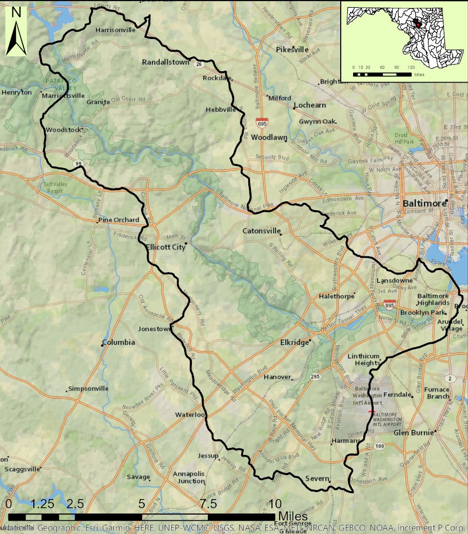
Interactive river map
Loads as you approach this section.
View Full Run
1. Gaither Rd. to Henryton Rd.
Patapsco, South Branch
II+(III)
5.4 mi
Current Conditions
5-Day Forecast
Whitewater data from
American Whitewater
American Whitewater