Pointed Rock
Save this feature with the run it belongs to.
Gauge Conditions
Runnable: ? – ? CFS
Approximate - nearest available gauge. Use as general reference only.
Data from American Whitewater & USGS
Description
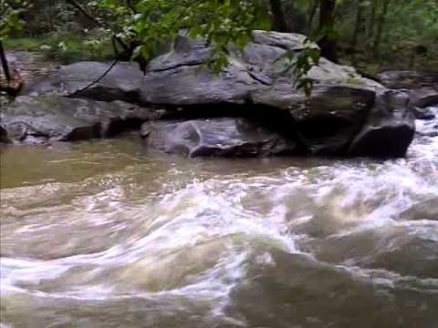
At the top of the rapid is an eddy river left. If you catch this eddy, immediately downstream is a pointed rock that breaks the current. Go to the left of the pointed rock and move to the center of the current. Eddy out. After a short pool, there is another easy rapid run mostly in the center.
Location
Interactive river map
Loads as you approach this section.

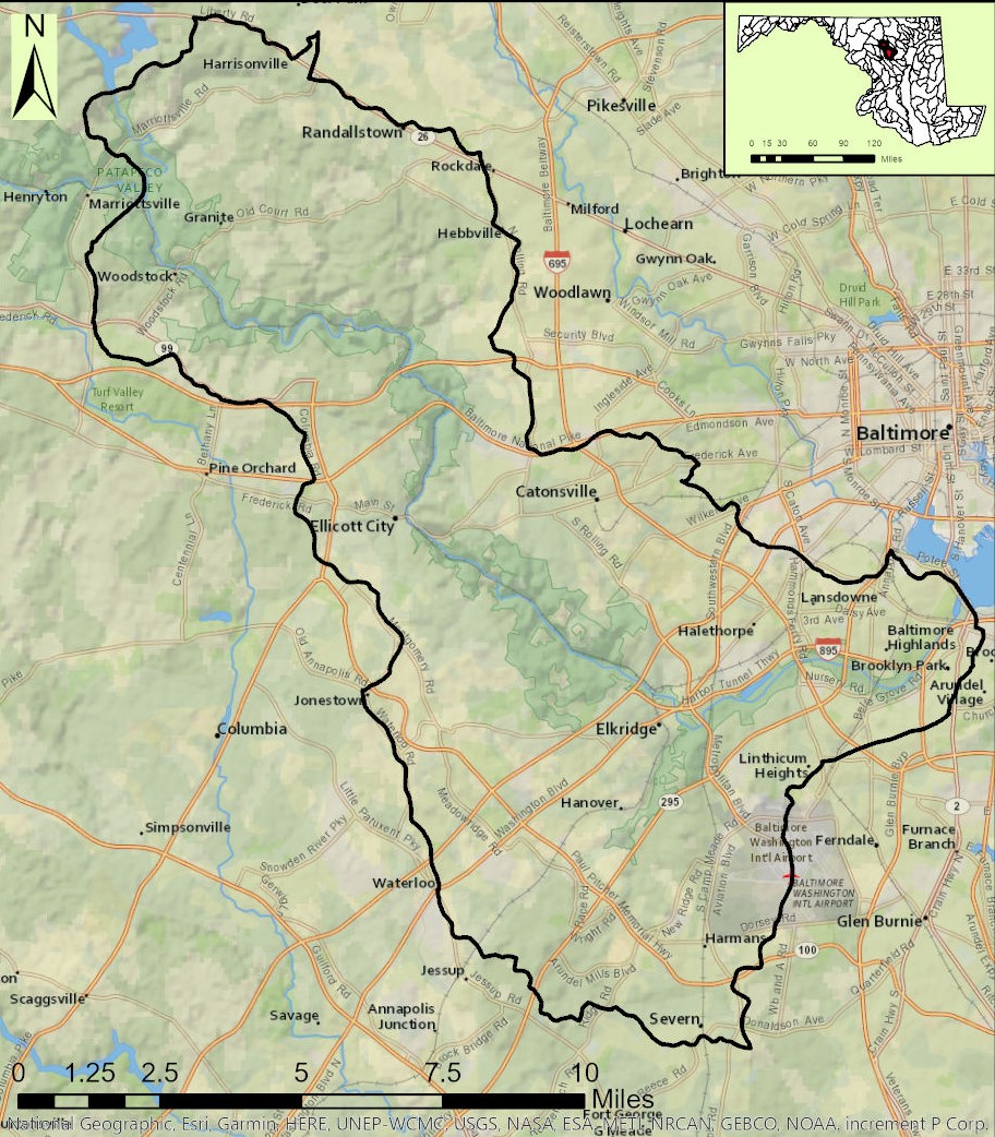
View Full Run
1. Gaither Rd. to Henryton Rd.
Patapsco, South Branch
II+(III)
5.4 mi
Current Conditions
5-Day Forecast
Whitewater data from
American Whitewater
American Whitewater