Rapid
MN
Powerline Crossing
Save this feature with the run it belongs to.
Gauge Conditions
Runnable: ? – ? CFS
Approximate - nearest available gauge. Use as general reference only.
Data from American Whitewater & USGS
Photo
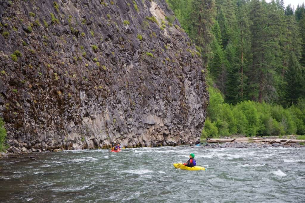
Photo courtesy of American Whitewater
Description
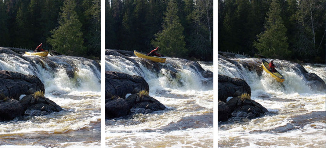
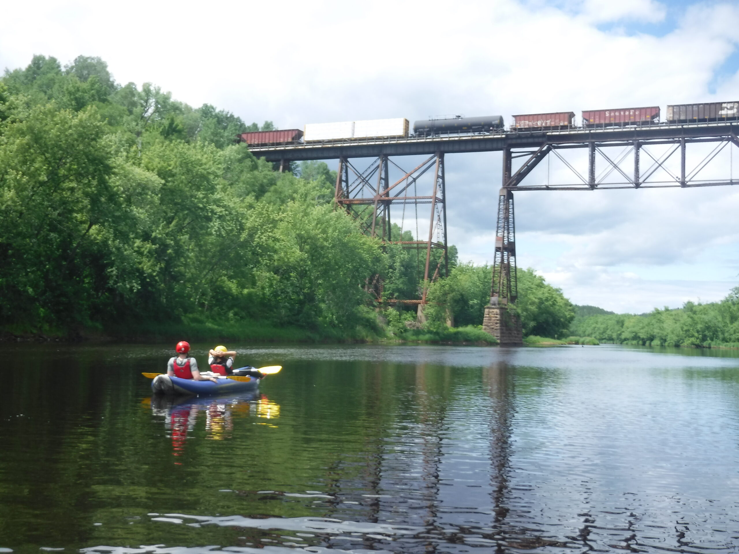
For anyone who has not opted to take-out sooner, the powerlines overhead should serve to indicate you are nearing the final bit of boatable waters. Again, we would emphasize to be familiar with this entire area (by hiking the Gooseberry Falls State Park trails) before running this section of river.
Location
Interactive river map
Loads as you approach this section.
Other Rapids on This Run (12)
 Rapid
N/A
Rapid
N/A
Put In
 Rapid
N/A
Rapid
N/A
Steep Eroded Bank
 Rapid
N/A
Rapid
N/A
Rocky Rapids
 Rapid
N/A
Rapid
N/A
Confluence, Dago Creek
 Rapid
N/A
Rapid
N/A
SHT (Superior Hiking Trail) Bridge
 Rapid
N/A
Rapid
N/A
Confluence, Skunk Creek
 Rapid
N/A
Rapid
N/A
Fifth Falls
 Rapid
N/A
Rapid
N/A
SHT Bridge
 Rapid
N/A
Rapid
N/A
Falls
 Rapid
N/A
Rapid
N/A
SHT Bridge
 Rapid
N/A
Rapid
N/A
Take Out
 Rapid
N/A
Rapid
N/A
USGS sampling site
View Full Run
Cty 3 to Gooseberry Falls State Park (9 miles)
Gooseberry
II-III
8.2 mi
Current Conditions
5-Day Forecast
Whitewater data from
American Whitewater
American Whitewater