Put-in
MN
Put In
Save this feature with the run it belongs to.
Gauge Conditions
Runnable: ? – ? CFS
Approximate - nearest available gauge. Use as general reference only.
Data from American Whitewater & USGS
Photo
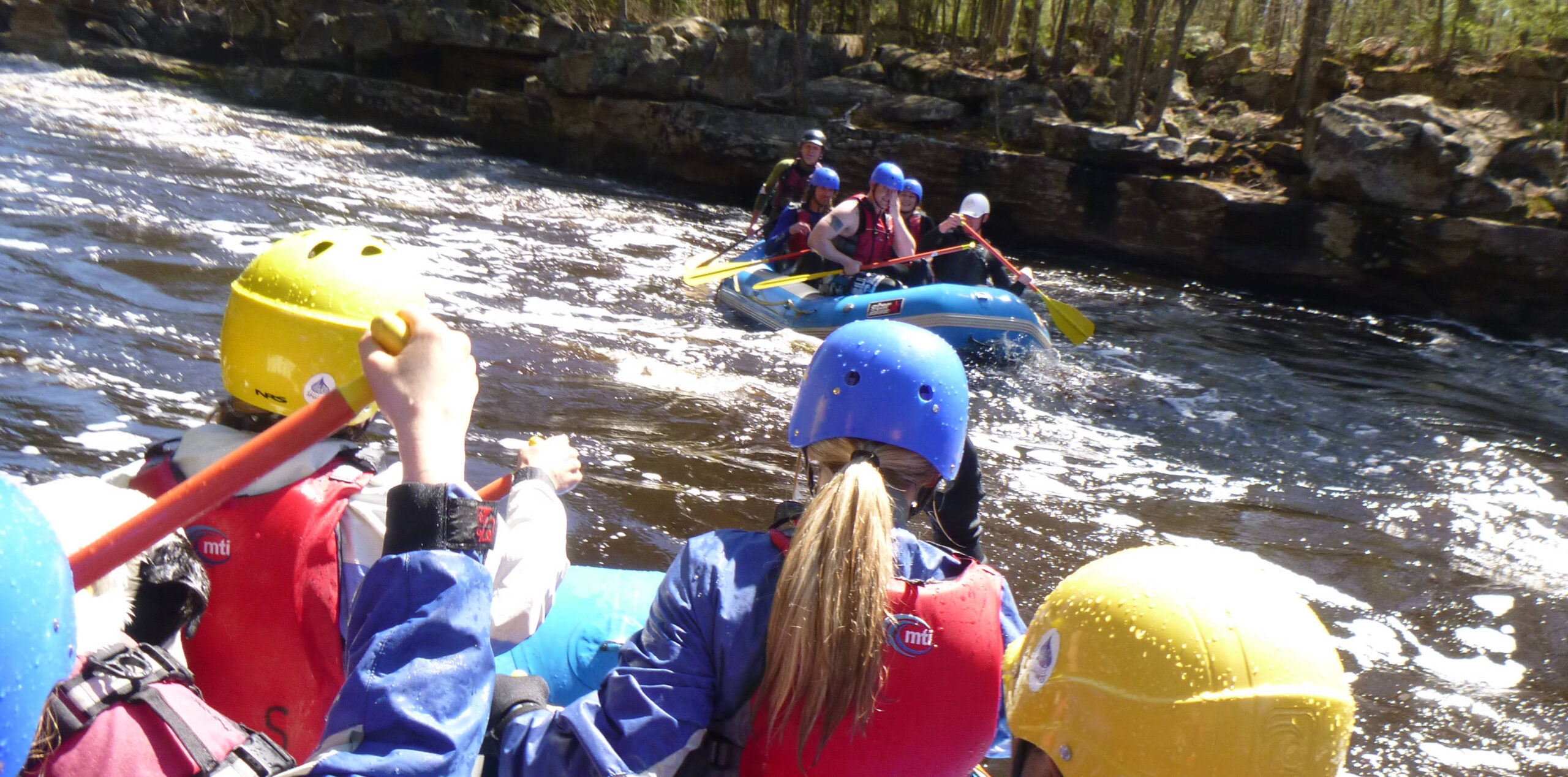
Photo courtesy of American Whitewater
Description
Put In serves as the entry point for this scenic stretch of the Gooseberry River, providing paddlers with an initial gauge of river conditions. While specifics are limited, the rapid likely involves navigating initial river features and establishing a line of travel before entering the more defined downstream sections near Gooseberry Falls State Park. Paddlers should assess water levels and potential obstacles during put-in, as the initial entry can set the tone for the subsequent 9-mile run.
Location
Interactive river map
Loads as you approach this section.
Other Rapids on This Run (12)
 Rapid
N/A
Rapid
N/A
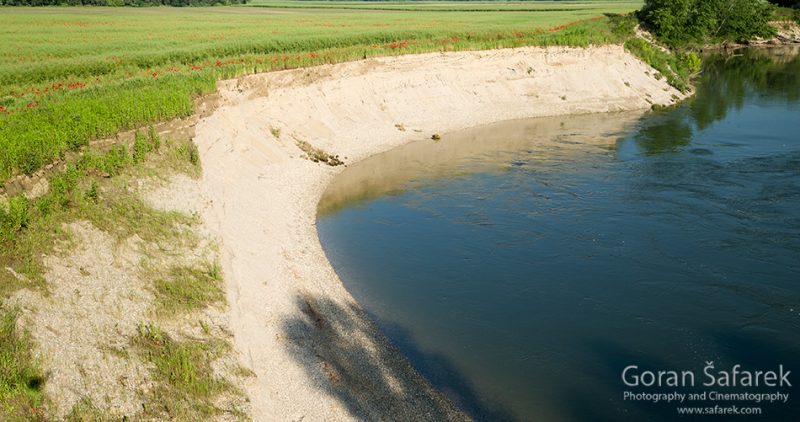
Steep Eroded Bank
 Rapid
N/A
Rapid
N/A
Rocky Rapids
 Rapid
N/A
Rapid
N/A
Confluence, Dago Creek
 Rapid
N/A
Rapid
N/A
SHT (Superior Hiking Trail) Bridge
 Rapid
N/A
Rapid
N/A
Confluence, Skunk Creek
 Rapid
N/A
Rapid
N/A
Fifth Falls
 Rapid
N/A
Rapid
N/A
SHT Bridge
 Rapid
N/A
Rapid
N/A
Falls
 Rapid
N/A
Rapid
N/A
SHT Bridge
 Rapid
N/A
Rapid
N/A
Take Out
 Rapid
N/A
Rapid
N/A
Powerline Crossing
 Rapid
N/A
Rapid
N/A
USGS sampling site
View Full Run
Cty 3 to Gooseberry Falls State Park (9 miles)
Gooseberry
II-III
8.2 mi
Current Conditions
5-Day Forecast
Whitewater data from
American Whitewater
American Whitewater