Rapid
MN
Rocky Rapids
Save this feature with the run it belongs to.
Gauge Conditions
Runnable: ? – ? CFS
Approximate - nearest available gauge. Use as general reference only.
Data from American Whitewater & USGS
Photo
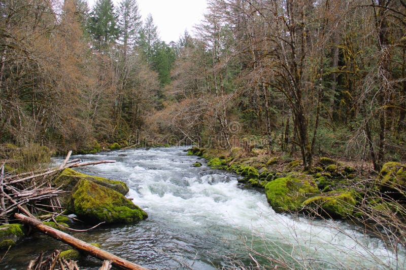
Photo courtesy of American Whitewater
Description
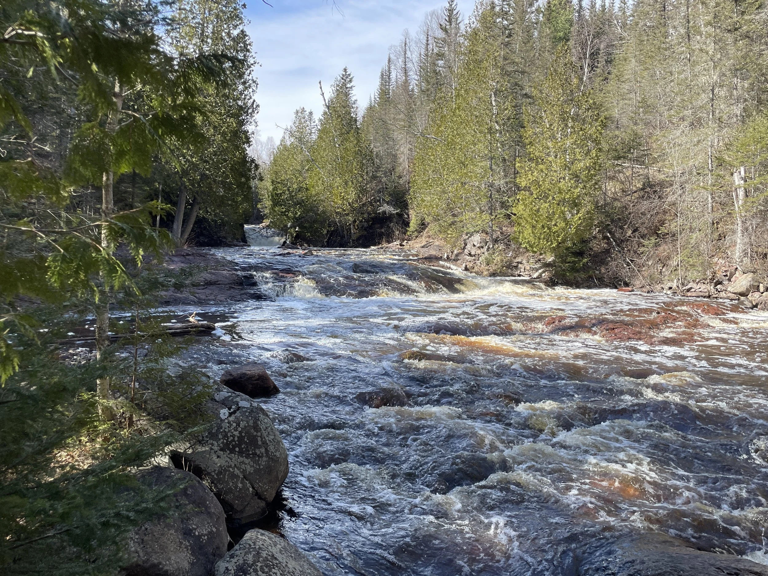
It appears there may be a significant increase in bedrock and rocks in the steambed starting about this location. (There may be an island to also signal this waypoint.) This is likely to indicate a bit of a step-up in difficulty (or technicality) of rapids encountered in this 1/10th mile or so.
Location
Interactive river map
Loads as you approach this section.
Other Rapids on This Run (12)
 Rapid
N/A
Rapid
N/A
Put In
 Rapid
N/A
Rapid
N/A
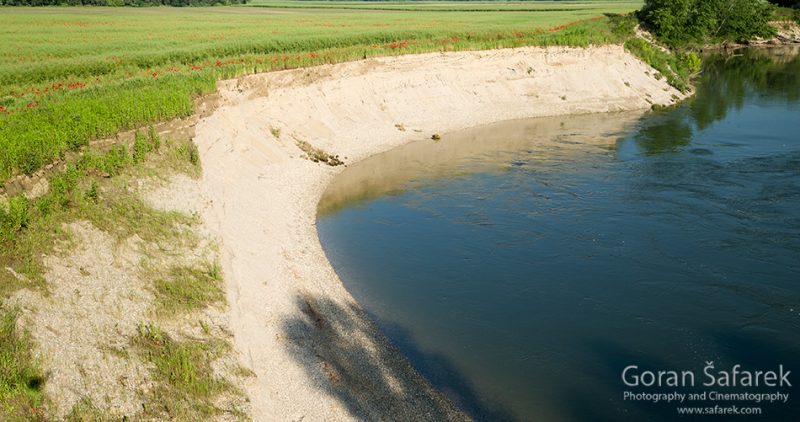
Steep Eroded Bank
 Rapid
N/A
Rapid
N/A
Confluence, Dago Creek
 Rapid
N/A
Rapid
N/A
SHT (Superior Hiking Trail) Bridge
 Rapid
N/A
Rapid
N/A
Confluence, Skunk Creek
 Rapid
N/A
Rapid
N/A
Fifth Falls
 Rapid
N/A
Rapid
N/A
SHT Bridge
 Rapid
N/A
Rapid
N/A
Falls
 Rapid
N/A
Rapid
N/A
SHT Bridge
 Rapid
N/A
Rapid
N/A
Take Out
 Rapid
N/A
Rapid
N/A
Powerline Crossing
 Rapid
N/A
Rapid
N/A
USGS sampling site
View Full Run
Cty 3 to Gooseberry Falls State Park (9 miles)
Gooseberry
II-III
8.2 mi
Current Conditions
5-Day Forecast
Whitewater data from
American Whitewater
American Whitewater