Put-in
CT
Put In
Save this feature with the run it belongs to.
Gauge Conditions
Runnable: 800.0 – 10,000.0 CFS
When the Hydro Plant is offline (as it is through the winter of 2015/16) the whole run is easily navigable down to around 650 cfs (~1ft on the boater's gauge)
Data from American Whitewater & USGS
Photo

Photo courtesy of American Whitewater
Description
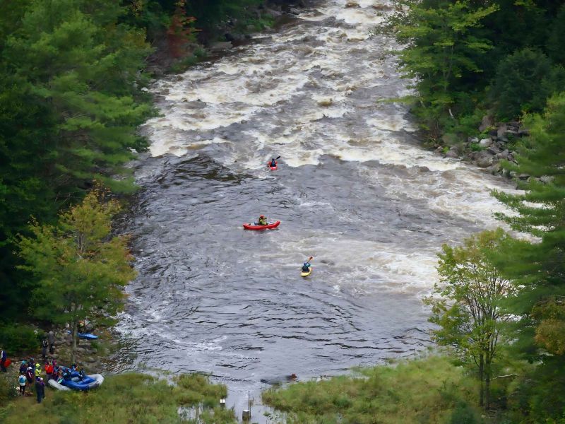
Put In is the initial entry point for the Bulls Bridge section, characterized by a straightforward but technical launch location with potential for swift current and limited maneuvering space. Paddlers should be attentive to potential river obstacles near the dam and carefully assess water levels and flow before entering, as the immediate downstream conditions can vary significantly with water release rates.
Location
Interactive river map
Loads as you approach this section.




View Full Run
3. Bulls Bridge Dam to Power Plant
Housatonic
IV
2.1 mi
Current Conditions
5-Day Forecast
Whitewater data from
American Whitewater
American Whitewater