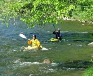
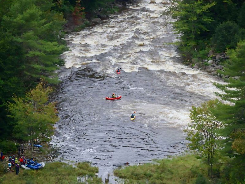
S-Turn
Save this feature with the run it belongs to.
Gauge Conditions
When the Hydro Plant is offline (as it is through the winter of 2015/16) the whole run is easily navigable down to around 650 cfs (~1ft on the boater's gauge)
Photo
Description
he next rapid, called S-Turn, is below a short flatwater gorge. It is a short rapid with a river wide ledge that is class III or IV depending on the river level. The main line is just off the left bank with some optional eddies above the drop in the center of the river (at lower levels, perhaps up to 4 feet on the boaters' gauge) and on the left shore adjacent to the ledge. At high levels (above 6 or 7 feet on the boaters' gauge), this rapid feeds, fairly seamlessly, into the next rapid and care should be taken to get right after clearing the ledge to avoid some large holes on river left. At lower levels (1-2 feet on the boaters' gauge), the ledge at S-Turn can be run right of center using a 'ski-jump' type feature that juts out of the rock.
Location
Other Rapids on This Run (7)


Current Conditions
5-Day Forecast
American Whitewater