Put-in
WA
Put In
Save this feature with the run it belongs to.
Gauge Conditions
Runnable: ? – ? CFS
Approximate - nearest available gauge. Use as general reference only.
Data from American Whitewater & USGS
Description
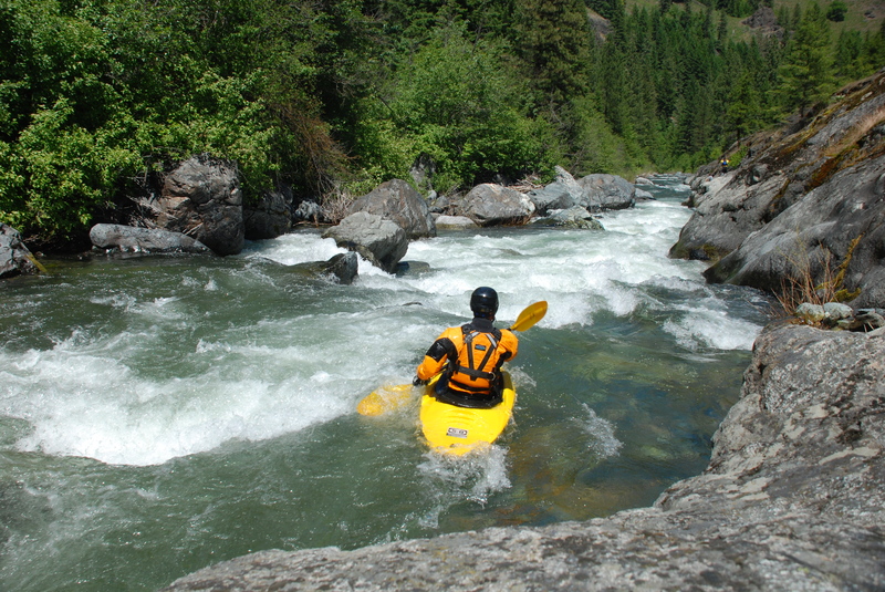
This access is at Highway 97 mile 177.2 at the downstream end of a large pull-out where you will also see a sign for the Wenatchee National Forest. It is at the confluence where Ingalls Creek joins Peshastin Creek.
Location
Other Rapids on This Run (4)
View Full Run
Highway 97 culvert to Wenatchee River
Peshastin Creek
III-IV
9.2 mi
Current Conditions
5-Day Forecast
Whitewater data from
American Whitewater
American Whitewater