Take Out
Save this feature with the run it belongs to.
Gauge Conditions
Approximate - nearest available gauge. Use as general reference only.
Description
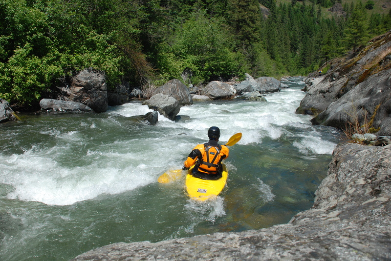
Take-out at the WDFW Dryden Dam Water Access Site. This is where river users portage Dryden Dam when paddling on the Wenatchee. The Lower Peshastin Creek Restoration Project was implemented in the summer of 2025. The project placed large river-wide large wood jams in both the primary and secondary channels. Boaters will need to take out of the Lower Peshastin ABOVE the project area to avoid river-wide log hazards approximately 0.3 miles above the confluence with the Wenatchee River. Look for signage on river right below the Saunders Road bridge. Look for three large boulders on river right below signage for eddy out and take out location.
Location
Other Rapids on This Run (4)
Current Conditions
5-Day Forecast
American Whitewater