Put-in
AK
Put In
Save this feature with the run it belongs to.
Gauge Conditions
Runnable: 200.0 – 15,000.0 CFS
Flow range for best boatability uncertain. Please help your fellow boaters with a comment or report.
Data from American Whitewater & USGS
Photo
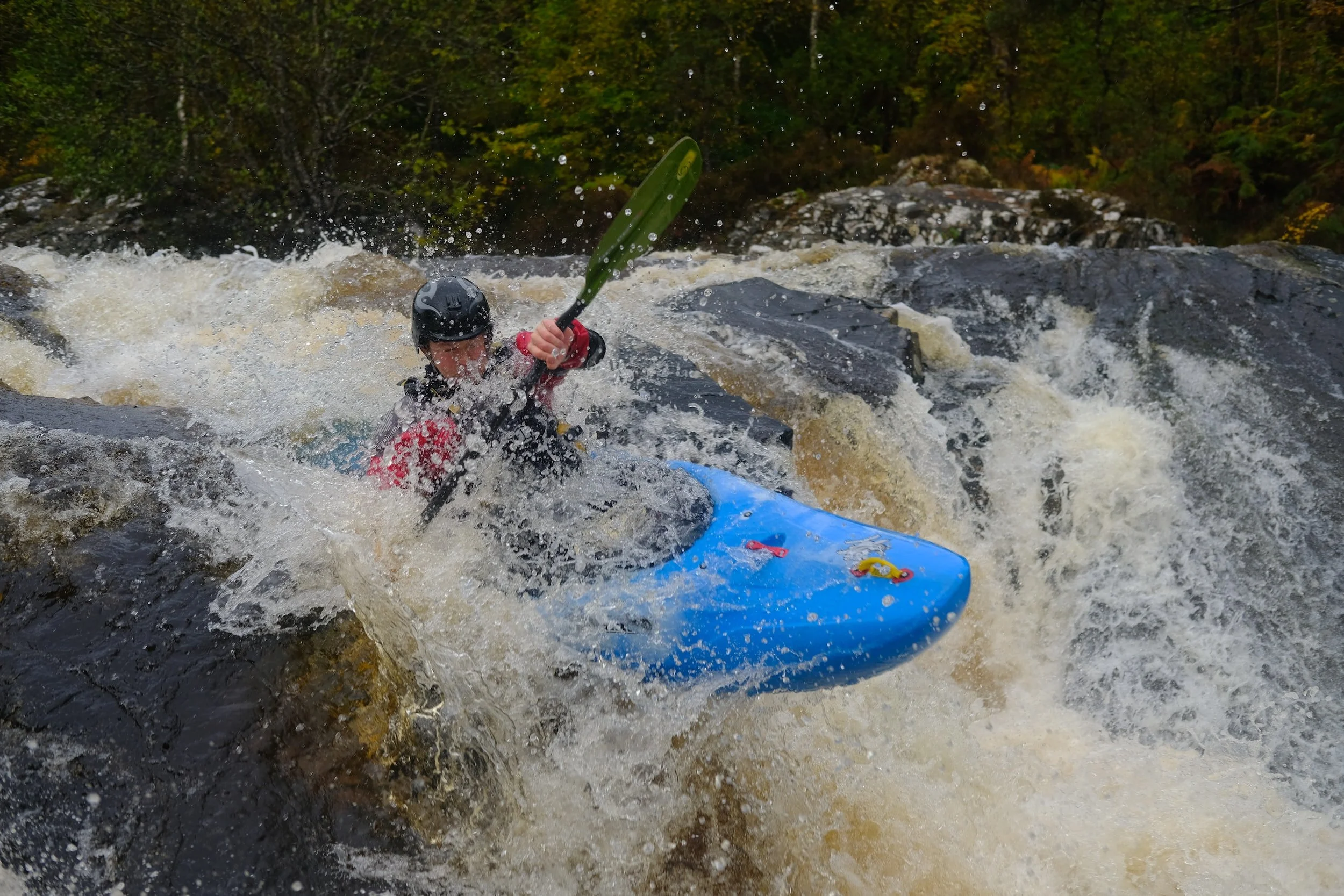
Photo courtesy of American Whitewater
Description
The Put In rapid marks the start of the lower Kenai River descent from Kenai Lake, serving as an initial transition point for paddlers entering the river system. While not technically challenging, the rapid presents potential hazards from potential submerged debris and variable water levels typical of glacial runoff. Careful route selection and situational awareness are recommended when navigating this launch section.
Location
Other Rapids on This Run (1)
View Full Run
Kenai Lake (Sterling Highway) to Skilak Lake
Kenai
I-II
18.0 mi
Current Conditions
5-Day Forecast
Whitewater data from
American Whitewater
American Whitewater