Take-out
AK
Take Out
Save this feature with the run it belongs to.
Gauge Conditions
Runnable: 200.0 – 15,000.0 CFS
Flow range for best boatability uncertain. Please help your fellow boaters with a comment or report.
Data from American Whitewater & USGS
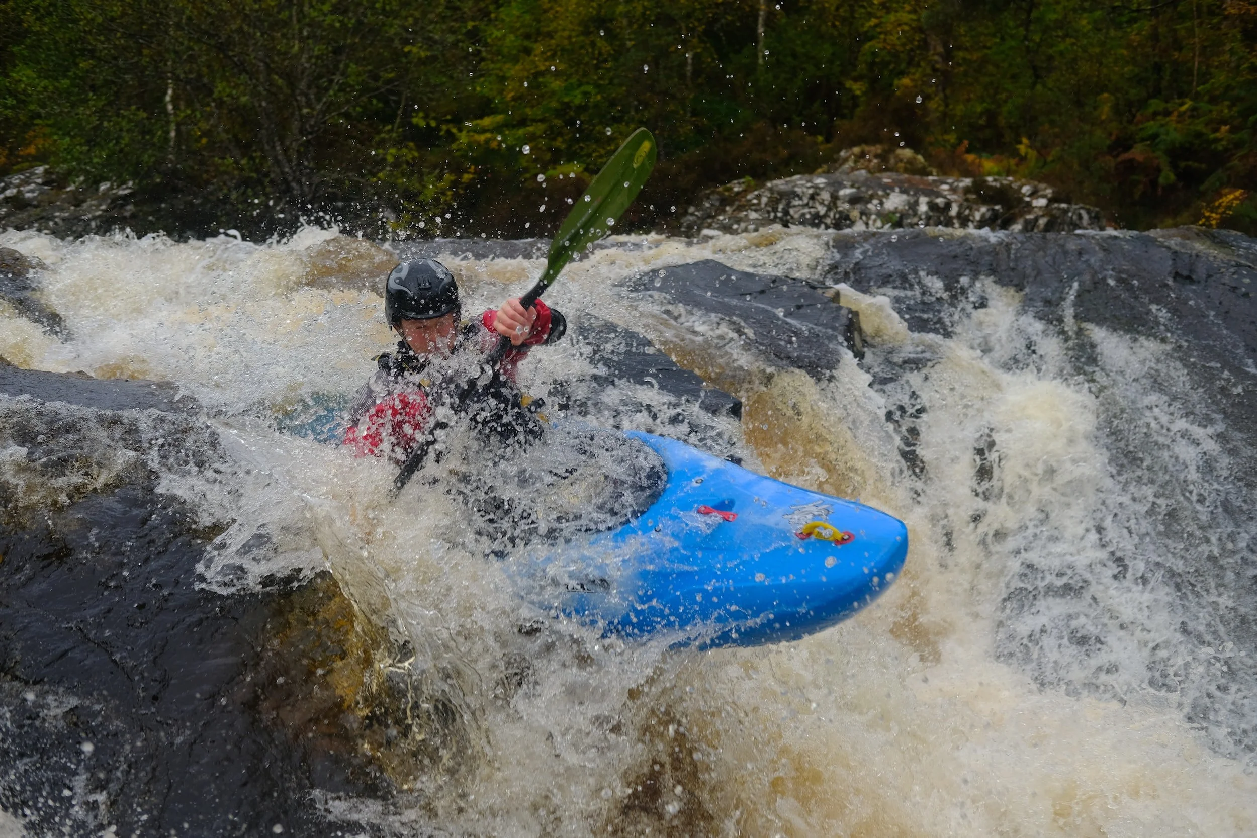
Photo
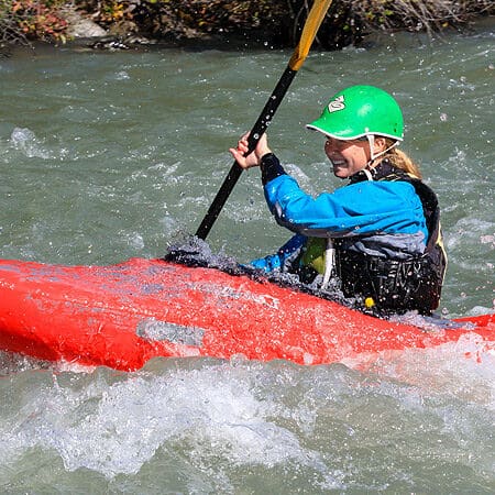
Photo courtesy of American Whitewater
Description
Take Out marks the transition point between Kenai Lake and the river's downstream section, characterized by potential shallow water and scattered rock gardens that require careful navigation. Paddlers should be prepared for potential debris and shifting channel conditions, particularly during seasonal water level changes. While not a technically challenging rapid, attentive route-finding and boat control are essential to avoid potential pin or strainer hazards.
Location
Other Rapids on This Run (1)
View Full Run
Kenai Lake (Sterling Highway) to Skilak Lake
Kenai
I-II
18.0 mi
Current Conditions
5-Day Forecast
Whitewater data from
American Whitewater
American Whitewater