Saddle Rock
Save this feature with the run it belongs to.
Gauge Conditions
Flows of 250 cfs are ok for floating from sleeping beauty to Souse hole without dragging.
Photo
Description
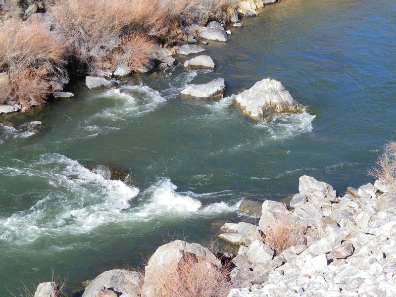
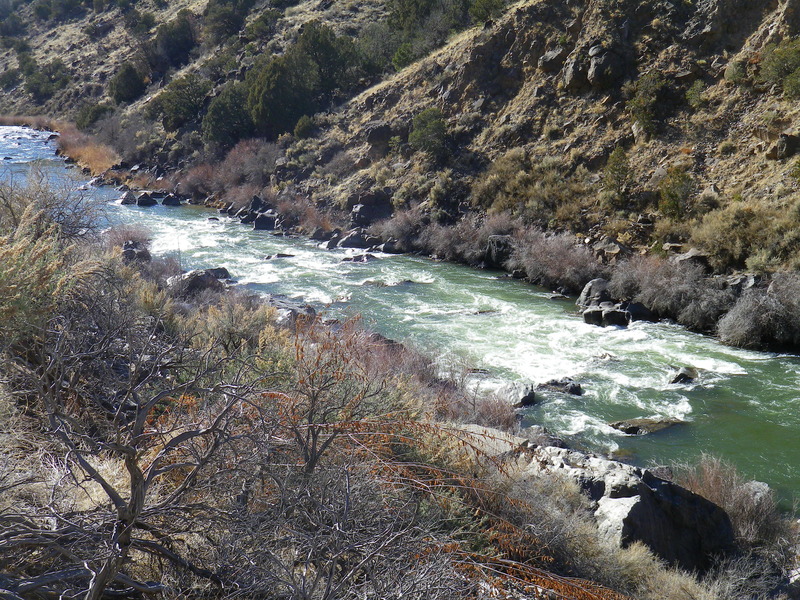
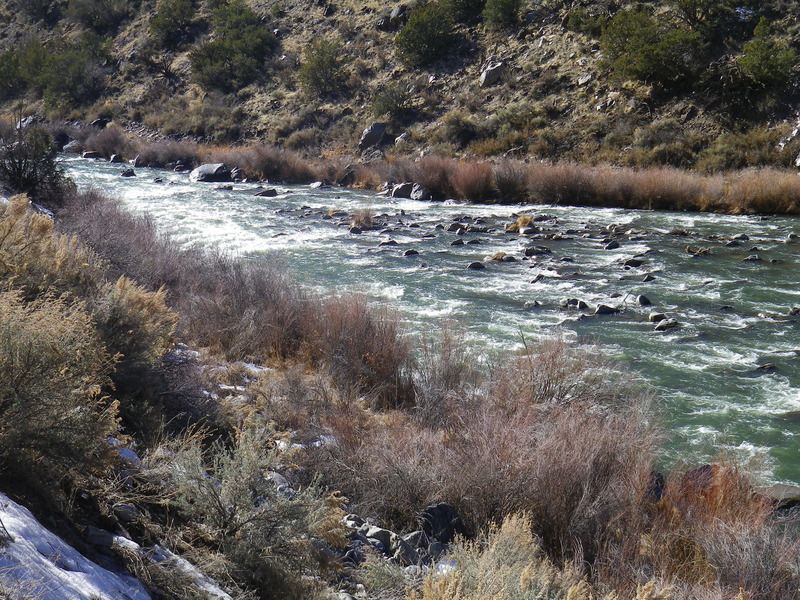
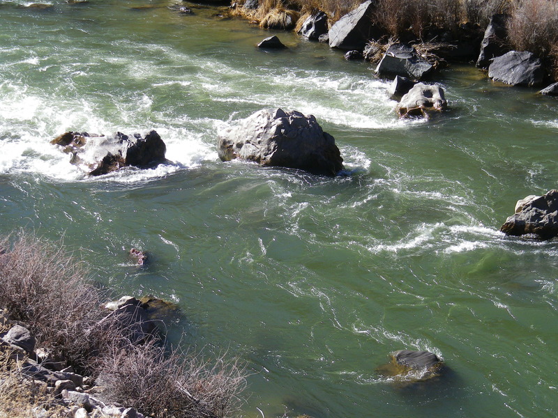
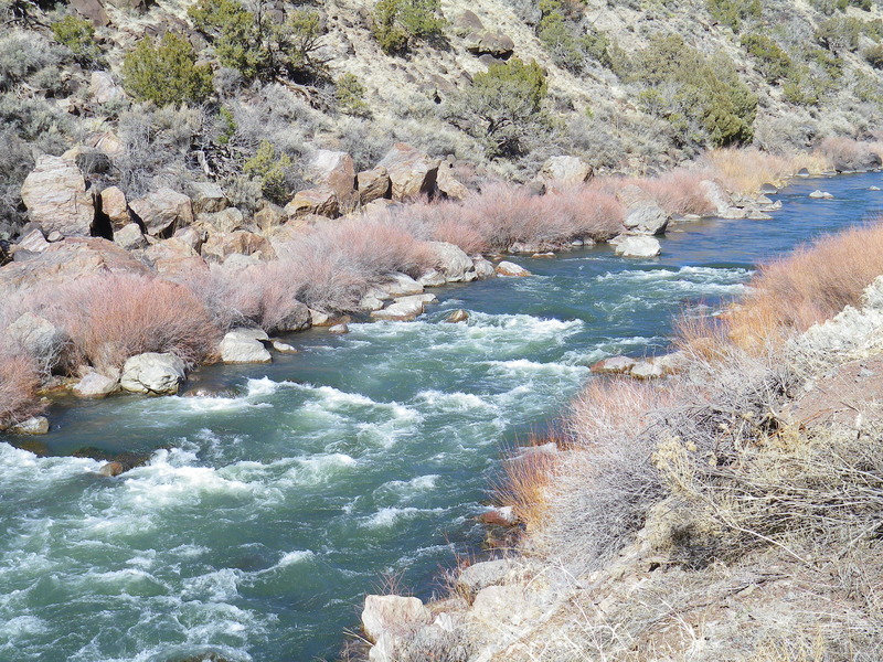
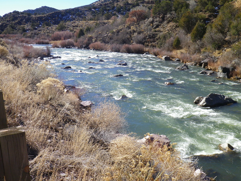
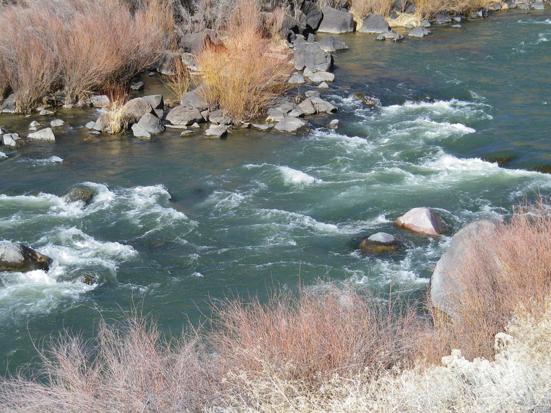
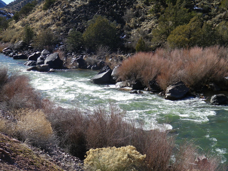
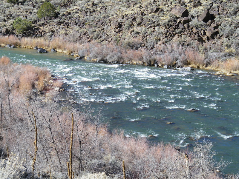
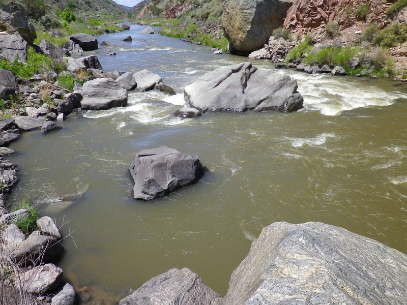
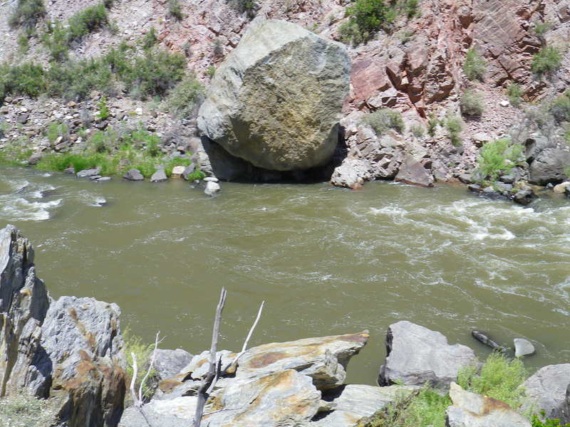
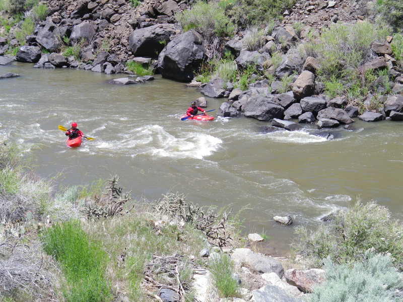
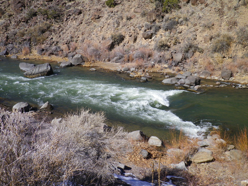
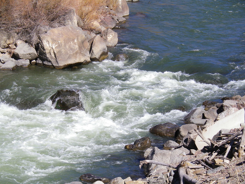
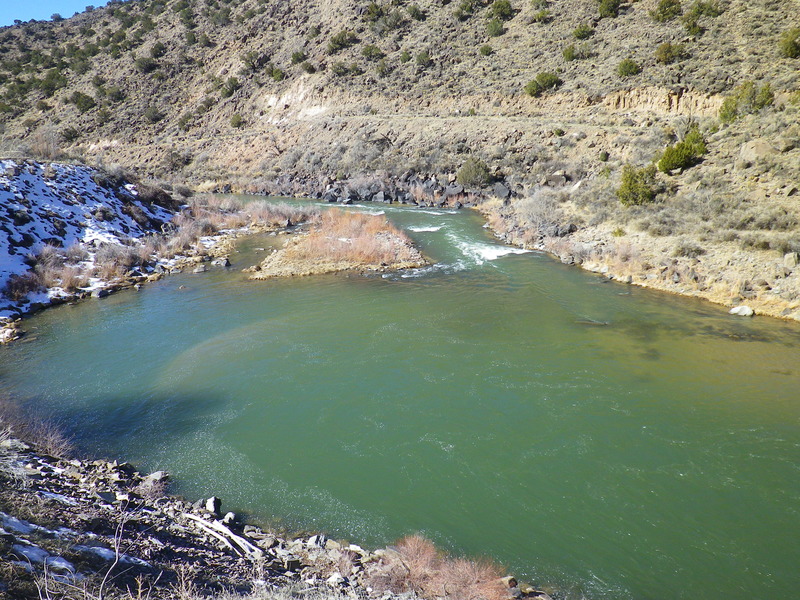
Named for the large saddle-shaped rock at the bottom of the rapid. The popular line at the top of Saddle Rock is down the channel on river left, where boaters usually work their way to river right very close to shore, then weave their boats through rocks at the bottom. There is another favorite line not far from the left shore, available when water levels permit. At low flows the entrance on the left can be pushy and the river tends to push boaters into the left shore or one of the center rocks where a high side may be necessary. At high flows this marks the beginning of Mile Long Rapid, a class IV rapids that includes, into a continuous stretch of whitewater, the rapids of Saddle Rock, Albert Falls, Herringbone, Eye of the Needle, Narrows, Boulder Field, Dead Foot Falls, and Final Drop. Saddle Rock is easily scouted from the road on river left.
Location
Other Rapids on This Run (18)
 Rapid
N/A
Rapid
N/A
 Rapid
II
Rapid
II
 Rapid
III
Rapid
III
 Rapid
III
Rapid
III
 Rapid
II+
Rapid
II+
 Rapid
III
Rapid
III
 Rapid
III
Rapid
III
 Rapid
III
Rapid
III
 Rapid
III
Rapid
III
 Rapid
II+
Rapid
II+
 Hazard
N/A
Hazard
N/A
 Rapid
III
Rapid
III
 Rapid
N/A
Rapid
N/A
 Rapid
II
Rapid
II
 Playspot
III
Playspot
III
 Playspot
III
Playspot
III
 Rapid
II+
Rapid
II+
 Rapid
N/A
Rapid
N/A
Current Conditions
5-Day Forecast
American Whitewater