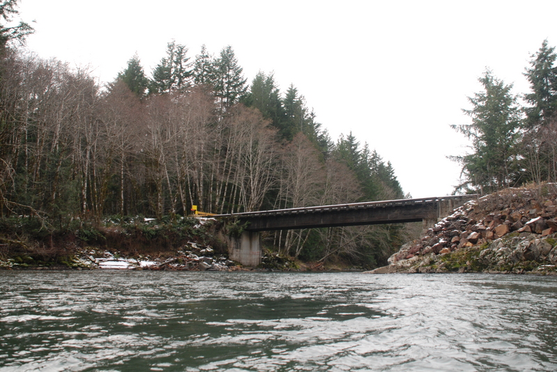
Scanwea Reservoir Copper Creek Take-Out
Save this feature with the run it belongs to.
Gauge Conditions
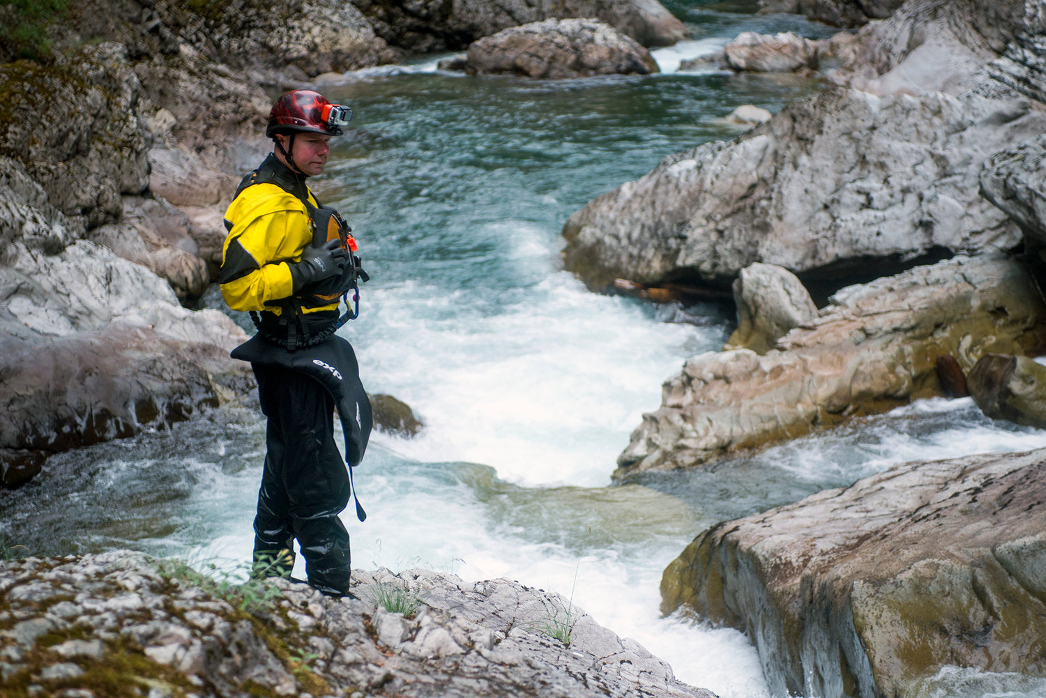
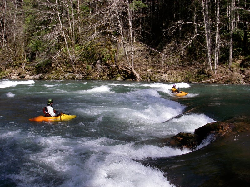
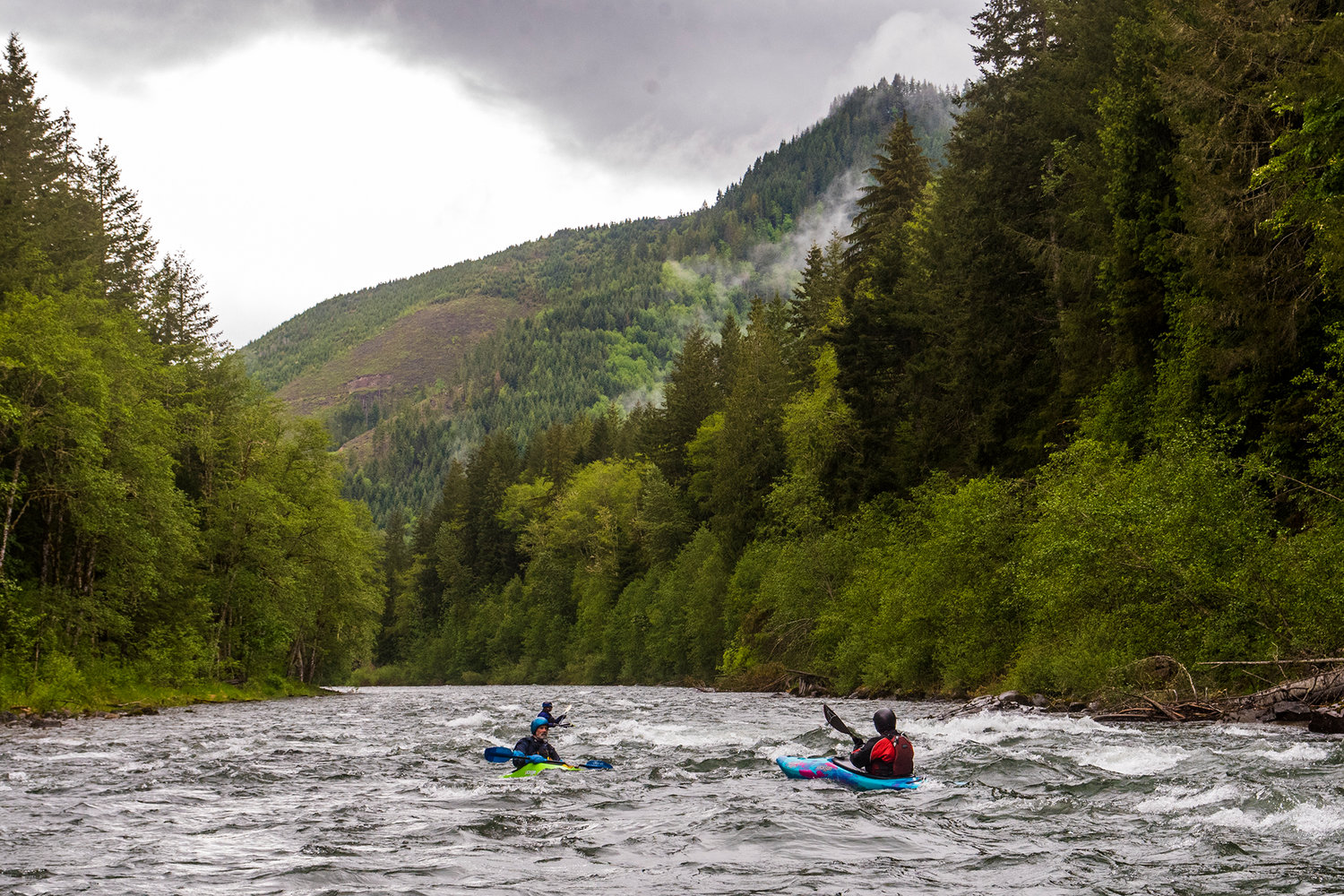
Photo
Description
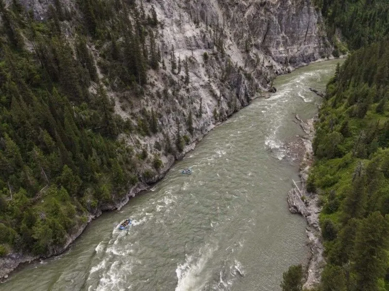
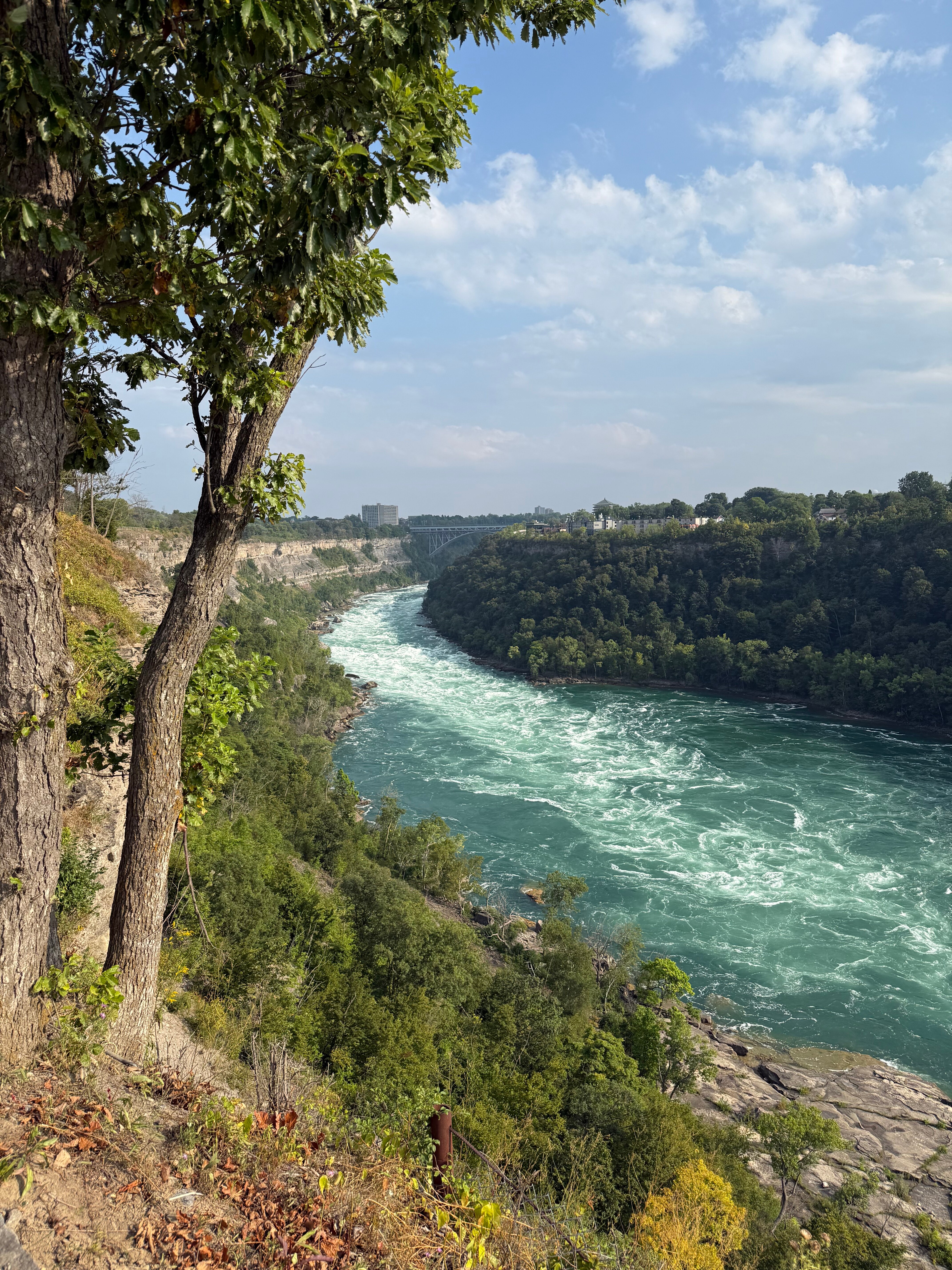
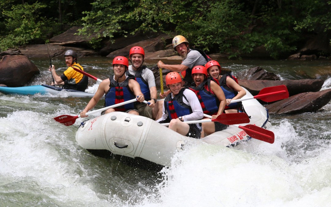
A license requirement from the 1984 license directed Lewis County PUD to construct a recreational site at the head of the reservoir to serve whitewater boaters. In 2007 the PUD opened a rudimentary site but only a few scheduled weekends. After years of delay the PUD finally completed the site and it was fully opened to the public in 2023. While the site is on PUD property, accessing the site requires driving through Port Blakely lands which they can gate and close which typically only happens during extreme fire danger. The access is located on river left just downstream of where Copper Creek joins the reservoir. The site has a large parking area, porta-potties, a gravel ramp that is accessible for rafts, and a picnic shelter. It is located at USGS River Mile 1.0.
Location
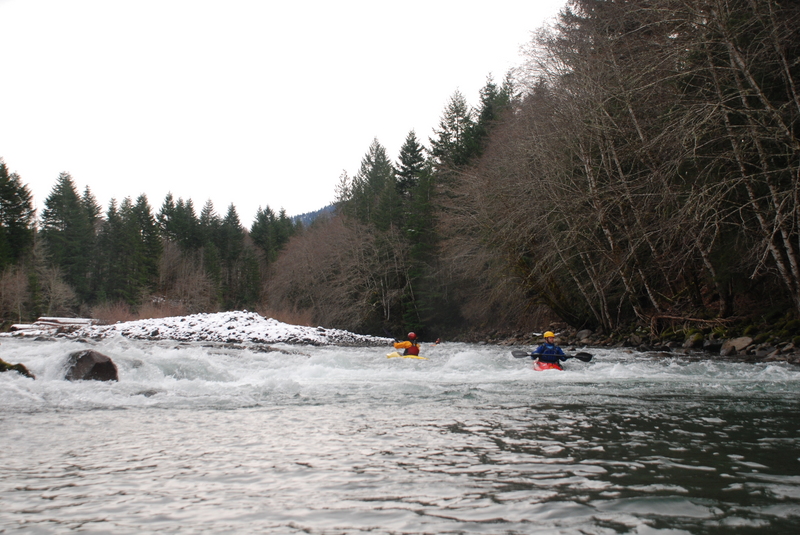
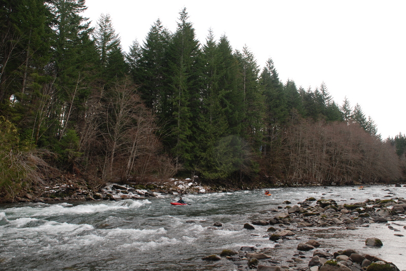
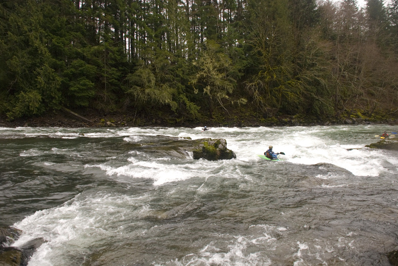
Other Rapids on This Run (17)
 Rapid
N/A
Rapid
N/A
 Rapid
N/A
Rapid
N/A
 Rapid
II+
Rapid
II+
 Rapid
II+
Rapid
II+
 Rapid
III
Rapid
III
 Rapid
III
Rapid
III
 Rapid
N/A
Rapid
N/A
 Rapid
II
Rapid
II
 Rapid
III
Rapid
III
 Rapid
II
Rapid
II
 Rapid
III
Rapid
III
 Rapid
II
Rapid
II
 Rapid
III
Rapid
III
 Rapid
III
Rapid
II
Rapid
III
Rapid
II
 Rapid
N/A
Rapid
N/A
 Rapid
III
Rapid
III
Current Conditions
5-Day Forecast
American Whitewater