Put-in
WA
Twin Cedars put-in
Save this feature with the run it belongs to.
Gauge Conditions
Runnable: 800.0 – 4,000.0 CFS
Data from American Whitewater & USGS
Photo
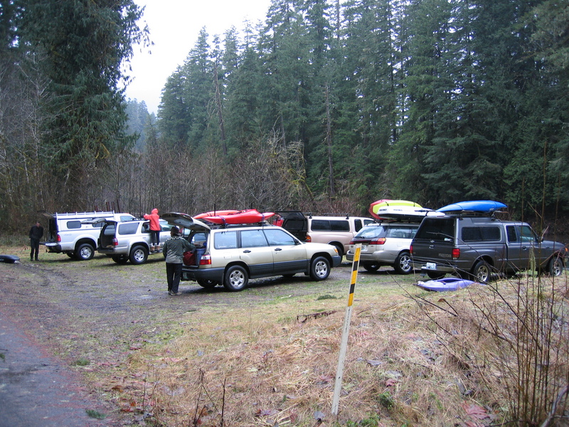
Photo courtesy of American Whitewater
Description
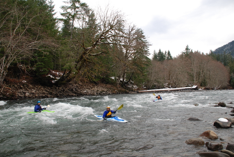
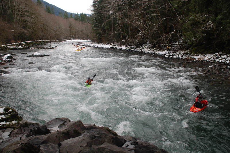
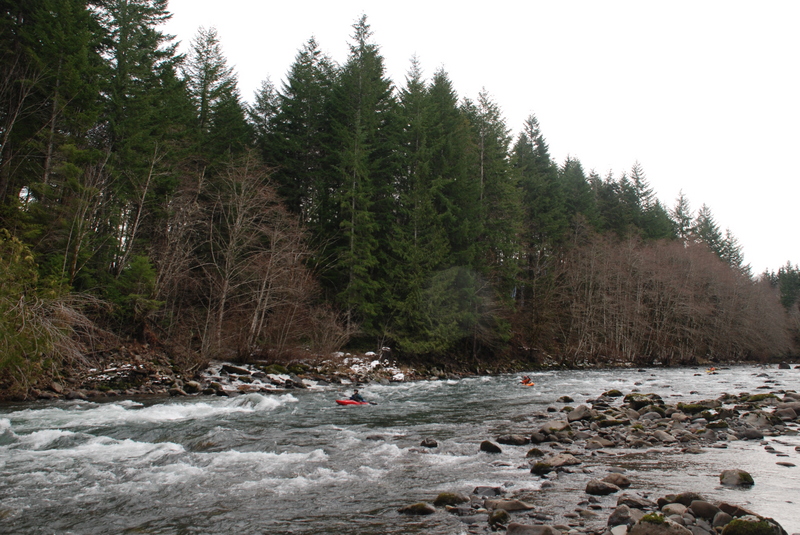
Twin Cedars is an intermediate access point that is a common starting point for many trips. The best rapids start from this access point with the Iron Creek Rapids just downstream. The access is recognized by two tall cedar trees. At one time a gravel bar between the trees provided good access. Currently better access is available 100 yards upstream at a cleared area on either side of a culvert. These cleared areas provide good options for parking but are sometimes used for dispersed camping. Located at USGS River Mile 9.2.
Location
Interactive river map
Loads as you approach this section.
Other Rapids on This Run (17)
 Rapid
N/A
Rapid
N/A
Forest Road 28 Bridge Put-In
 Rapid
II+
Rapid
II+
First Iron Creek Rapid
 Rapid
II+
Rapid
II+
Second Iron Creek Rapid
 Rapid
III
Rapid
III
Let's Make a Deal
 Rapid
III
Rapid
III
Rollercoaster
 Rapid
N/A
Rapid
N/A
Huffacker Bridge
 Rapid
II
Rapid
II
Unnamed Rapid
 Rapid
III
Rapid
III
Paul's Play Pen
 Rapid
II
Rapid
II
Whirlpool Corner
 Rapid
III
Rapid
III
Agitator
 Rapid
II
Rapid
II
Elk Rapid
 Rapid
III
Rapid
III
Lion's Jaw
 Rapid
III
Rapid
III
Bobcat Rapid
Rapid
II
Unnamed Rapid
 Rapid
N/A
Rapid
N/A
Crystal Creek Bridge
 Rapid
III
Rapid
III
Double Trouble
 Rapid
N/A
Rapid
N/A
Scanwea Reservoir Copper Creek Take-Out
View Full Run
4 - Road 28 Bridge to Scanewa Reservoir (The Lower)
Cispus
III
15.6 mi
Current Conditions
5-Day Forecast
Whitewater data from
American Whitewater
American Whitewater