Take-out
CA
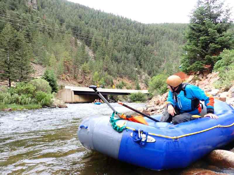
Slippery View River Access
Save this feature with the run it belongs to.
Gauge Conditions
Runnable: 450.0 – 800.0 CFS
Clear Creek usually has the same flow as Indian Creek (where the gauge is located) but this may be affected by the 2020 Slater Fire, making Clear Creek a bit l
Data from American Whitewater & USGS
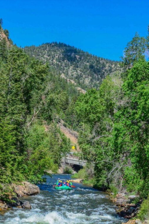
Photo
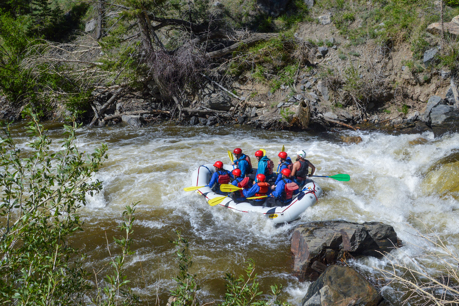
Photo courtesy of American Whitewater
Description
Slippery View is a river access site on creek left a short distance below Cottonmouth, the rapid on the Upper Clear Creek Run. The river access is signed along the 15N32 road but it is unmarked at river level and easy to paddle past if you do not recognize it. For this reason, you should scout the take-out from river level before paddling the run. A steep, loose trail goes from the road to the creek.
Location
Other Rapids on This Run (13)
 Rapid
N/A
Rapid
N/A
Wilderness bridge put-in
 Rapid
III
Rapid
III
First Rapid
 Rapid
III
Rapid
III
Longer Warm-Up Rapid
 Rapid
III
Rapid
III
Gorge Entry
 Rapid
IV
Rapid
IV
Ledge Drop
 Rapid
IV
Rapid
IV
Second Ledge Drop
 Rapid
III
Rapid
III
Unnamed Rapid
 Rapid
III
Rapid
III
Unnamed Rapid
 Rapid
V
Rapid
V
Long Rapid
 Rapid
III
Rapid
III
Unnamed Rapid
 Rapid
N/A
Rapid
N/A
No Man's Trailhead
 Hazard
N/A
Hazard
N/A
Mandatory Portage
 Rapid
V-
Rapid
V-
Cottonmouth
View Full Run
Wilderness Bridge to Slippery View River Access
Clear Creek
IV-V
3.0 mi
Current Conditions
5-Day Forecast
Whitewater data from
American Whitewater
American Whitewater