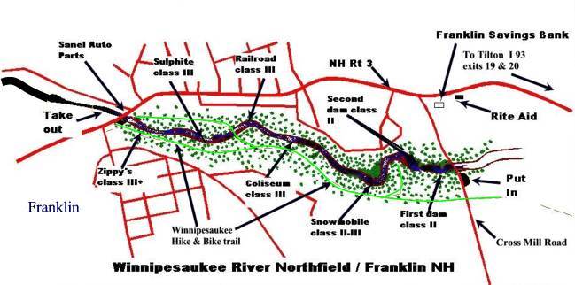
Snowmobile
Save this feature with the run it belongs to.
Gauge Conditions
Data from American Whitewater & USGS
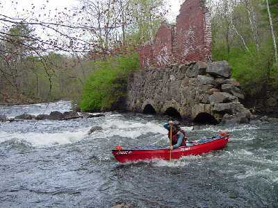
Photo
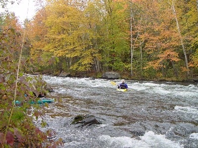
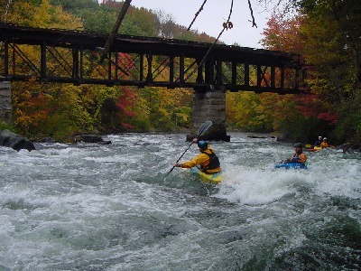
Photo courtesy of American Whitewater
Description
Named after (guess what?) that was in the middle of the rapid for several years. No particular hazards here just lots of waves and holes to catch on the fly.
Location
Other Rapids on This Run (11)

View Full Run
2. Cross Mill bridge road to Franklin (Lower Winni)
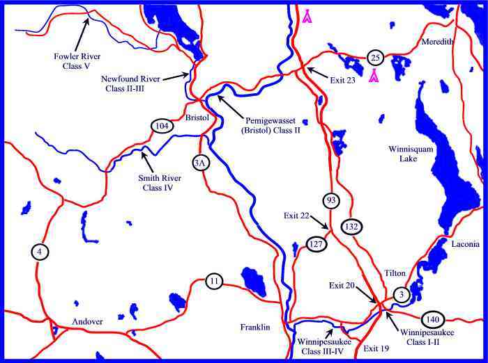
Winnipesaukee
III+
1.2 mi
Current Conditions
5-Day Forecast
Whitewater data from
American Whitewater
American Whitewater