Take-out
NH
Take Out
Save this feature with the run it belongs to.
Gauge Conditions
Data from American Whitewater & USGS
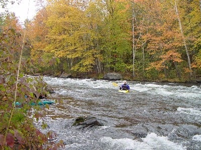
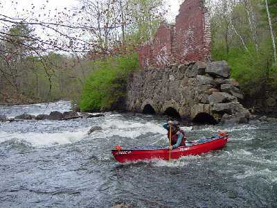
Photo

Photo courtesy of American Whitewater
Description
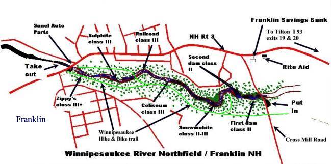
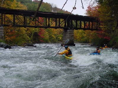
Take Out is a swift section near the end of the Lower Winnipesaukee run, marking the conclusion of the river segment with a straightforward but potentially technical exit point. Paddlers should be aware of potential river debris and maintain good boat control as they approach the takeout, watching for potential shallow spots or submerged obstacles that could complicate the final approach.
Location
Other Rapids on This Run (11)
 Rapid
Rapid
Winnipesaukee map
Rapid
N/A
Put In
 Rapid
Rapid
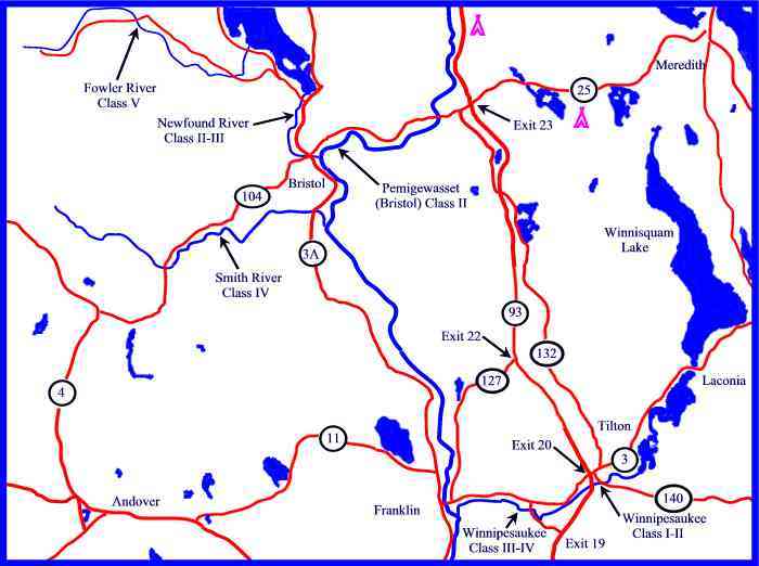
Map of the Lower Pemi region
 Playspot
II
Playspot
II
2nd Dam
 Playspot
III
Playspot
III
Snowmobile
Rapid
II+
Iron Ring
 Hazard
III+
Hazard
III+
Coliseum (aka Three Chimneys, Z-turn, Arches)
 Rapid
III+
Rapid
III+
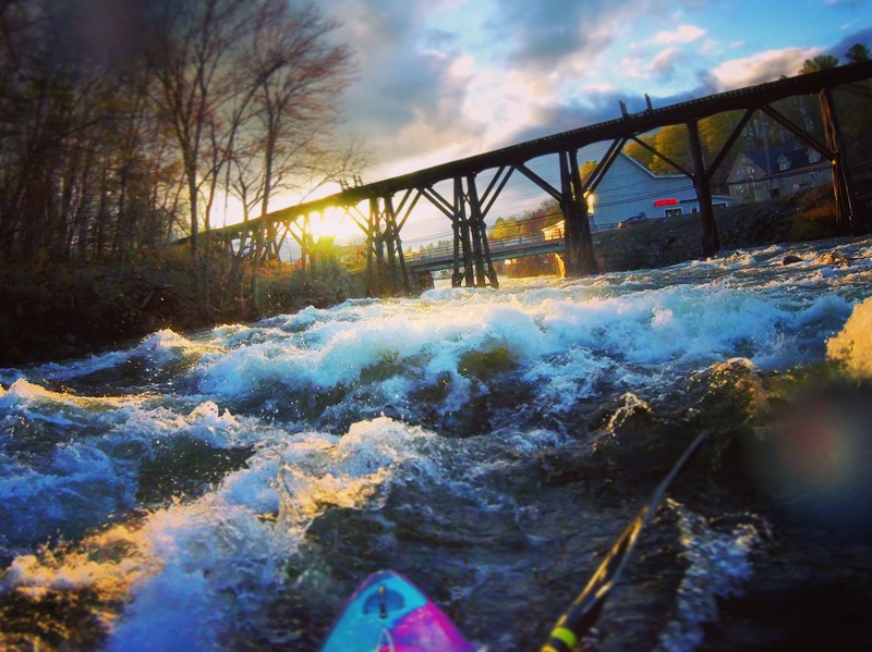
Railroad
Rapid
III
Sulphite
 Rapid
IV
Rapid
IV
Zippy's Final Plunge (Zippy's)
 Rapid
III
Rapid
III
Winni Play Wave
View Full Run
2. Cross Mill bridge road to Franklin (Lower Winni)
Winnipesaukee
III+
1.2 mi
Current Conditions
5-Day Forecast
Whitewater data from
American Whitewater
American Whitewater