Rapid
ID
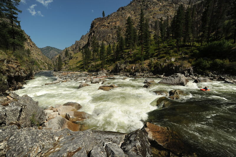
South Fork Guard Station Road Bridge
Save this feature with the run it belongs to.
Gauge Conditions
Data from American Whitewater & USGS
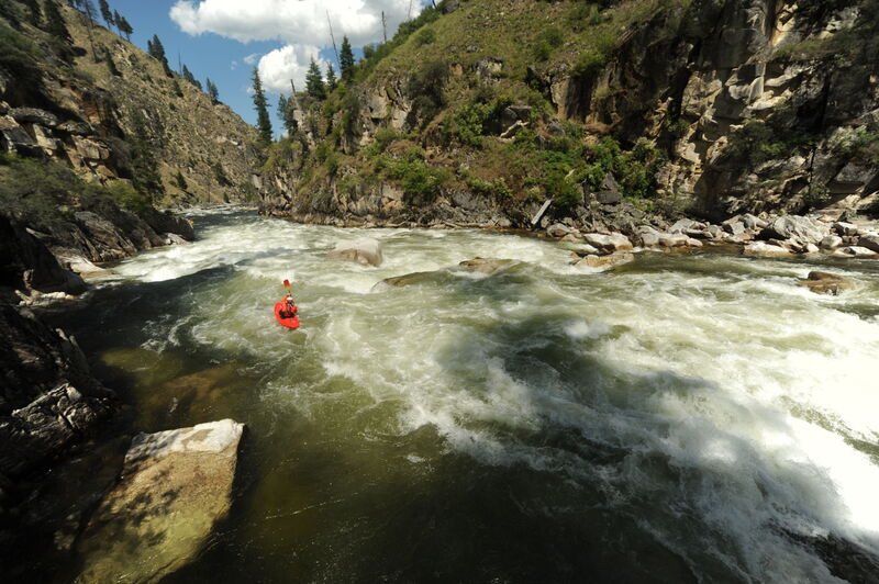
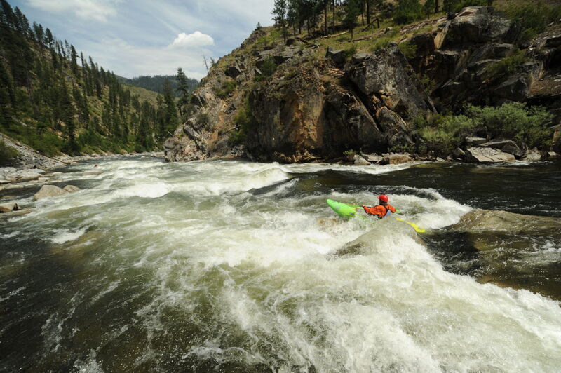
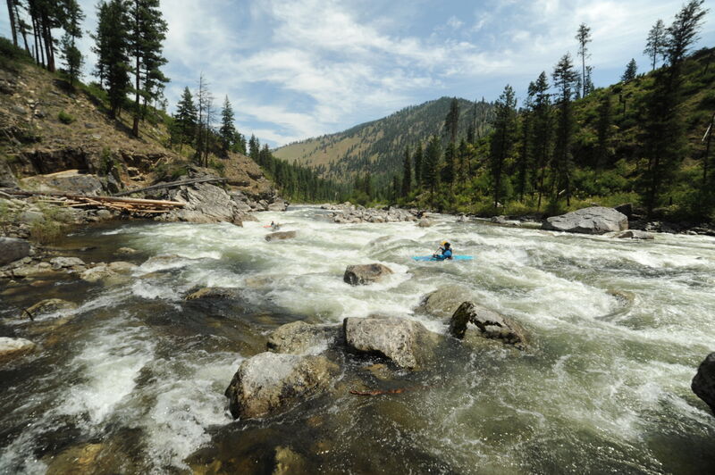
Photo
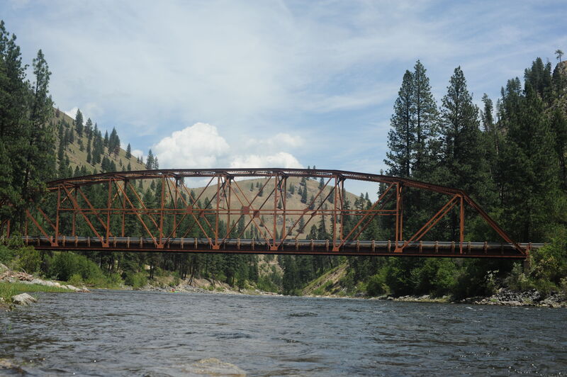
Photo courtesy of American Whitewater
Description
The bridge marks the approximate halfway point for the trip. Road access and cabins along river left extend for the next half dozen miles down to Smith Creek.
Location
Interactive river map
Loads as you approach this section.
View Full Run
3 - Secesh Confluence with South Fork to Salmon River
Salmon, S. Fork
IV-V
36.0 mi
Current Conditions
5-Day Forecast
Whitewater data from
American Whitewater
American Whitewater