Rapid
ID
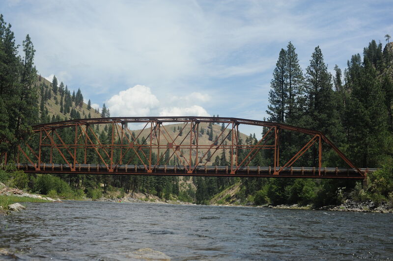
South Fork Salmon Trail Bridge at Porphyry Creek
Save this feature with the run it belongs to.
Gauge Conditions
Data from American Whitewater & USGS
Description
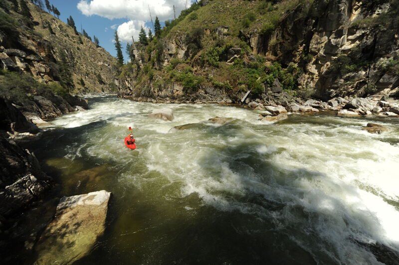
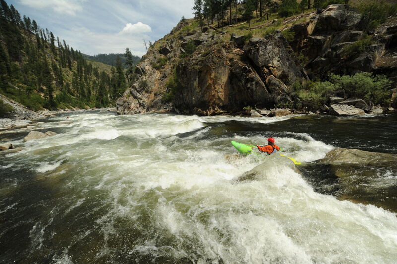
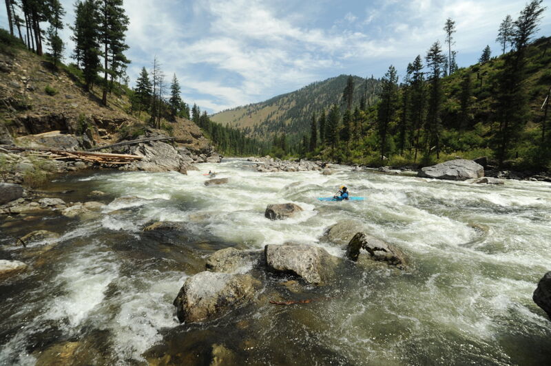
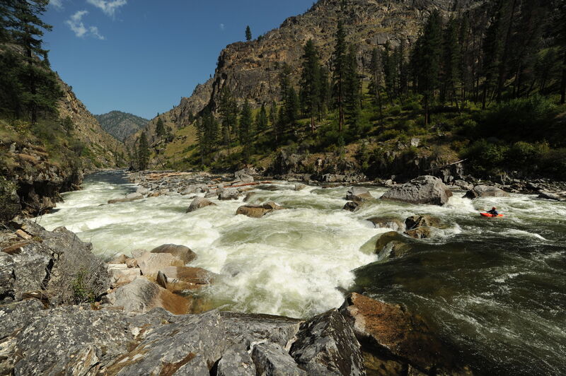
The South Fork Salmon Trail (#122) crossing marks the start of bigger drops at the end of the run. For the next 6 miles the river drops 400 feet and dishes up some incredible whitewater.
Location
Interactive river map
Loads as you approach this section.
View Full Run
3 - Secesh Confluence with South Fork to Salmon River
Salmon, S. Fork
IV-V
36.0 mi
Current Conditions
5-Day Forecast
Whitewater data from
American Whitewater
American Whitewater