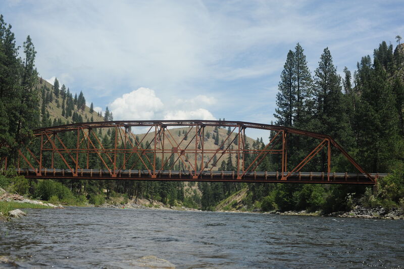
Take-out
ID
Vinegar Creek, Take Out
Save this feature with the run it belongs to.
Gauge Conditions
Data from American Whitewater & USGS
Description
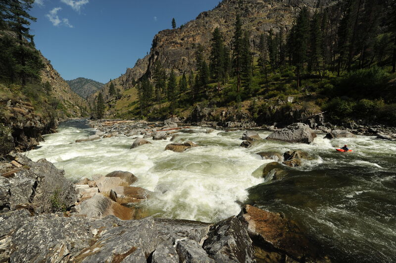
The standard take-out, unless you are flying out, is at Vinegar Creek Access on the Main Salmon which requires a 20 mile paddle out on the Main Salmon on the last day of your trip. You can also take out at Carey Creek Access which is just downsteram of Vinegar Creek Access.
Location
Interactive river map
Loads as you approach this section.
View Full Run
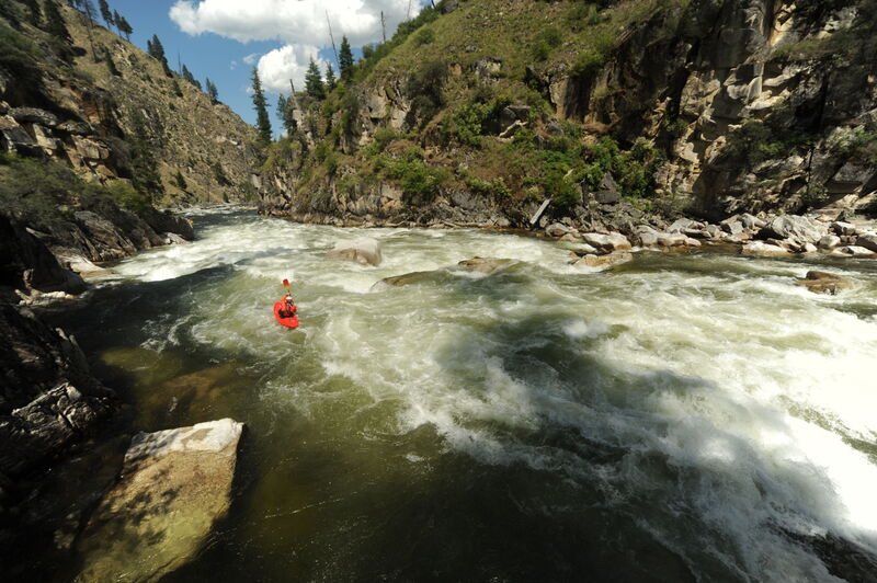
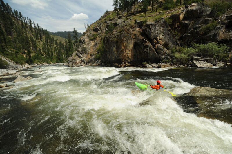
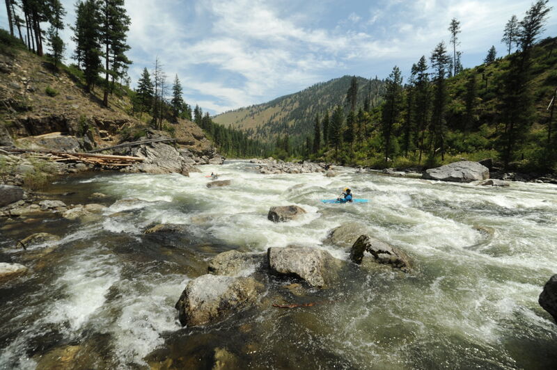
3 - Secesh Confluence with South Fork to Salmon River
Salmon, S. Fork
IV-V
36.0 mi
Current Conditions
5-Day Forecast
Whitewater data from
American Whitewater
American Whitewater