Take-out
WA
Take Out
Save this feature with the run it belongs to.
Gauge Conditions
Data from American Whitewater & USGS
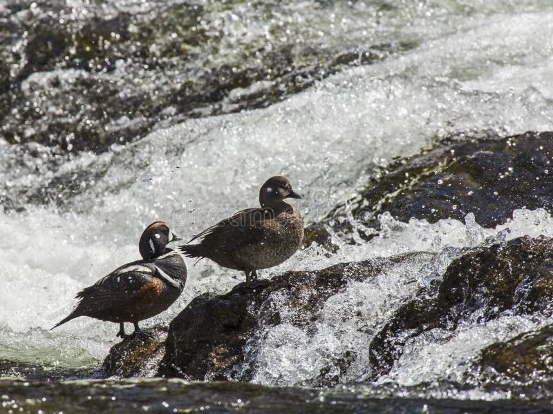
Photo
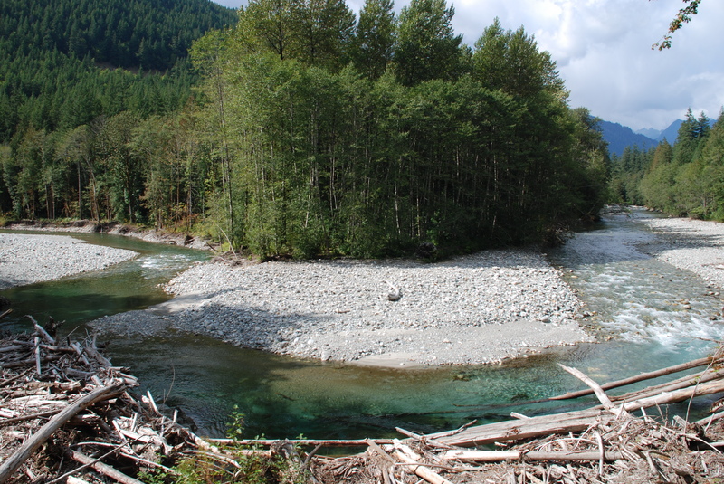
Photo courtesy of American Whitewater
Location
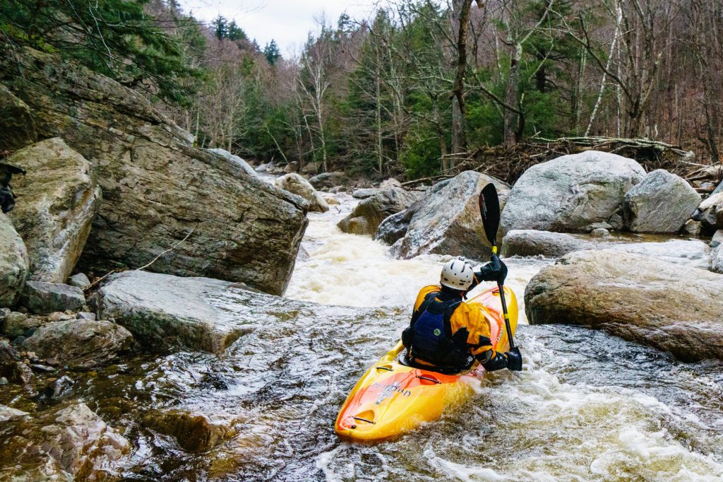

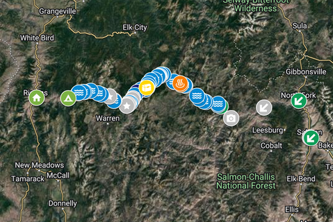
View Full Run
Falls Creek to Skagit River confluence
Bacon Creek
II-III(V)
5.3 mi
Current Conditions
5-Day Forecast
Whitewater data from
American Whitewater
American Whitewater