Upper hike in access
Save this feature with the run it belongs to.
Gauge Conditions
Photo

Description
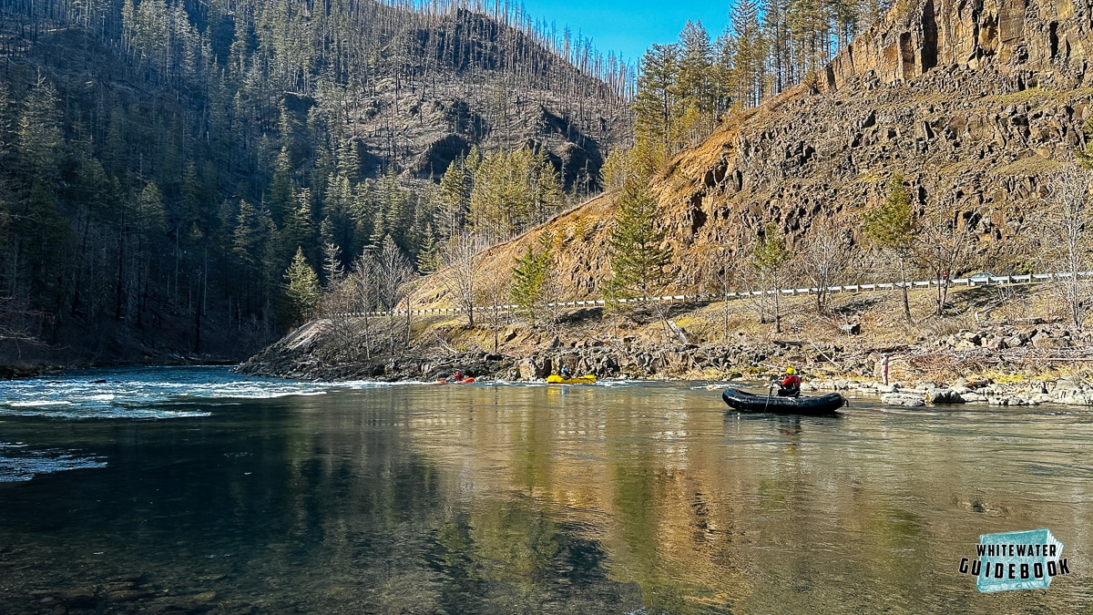
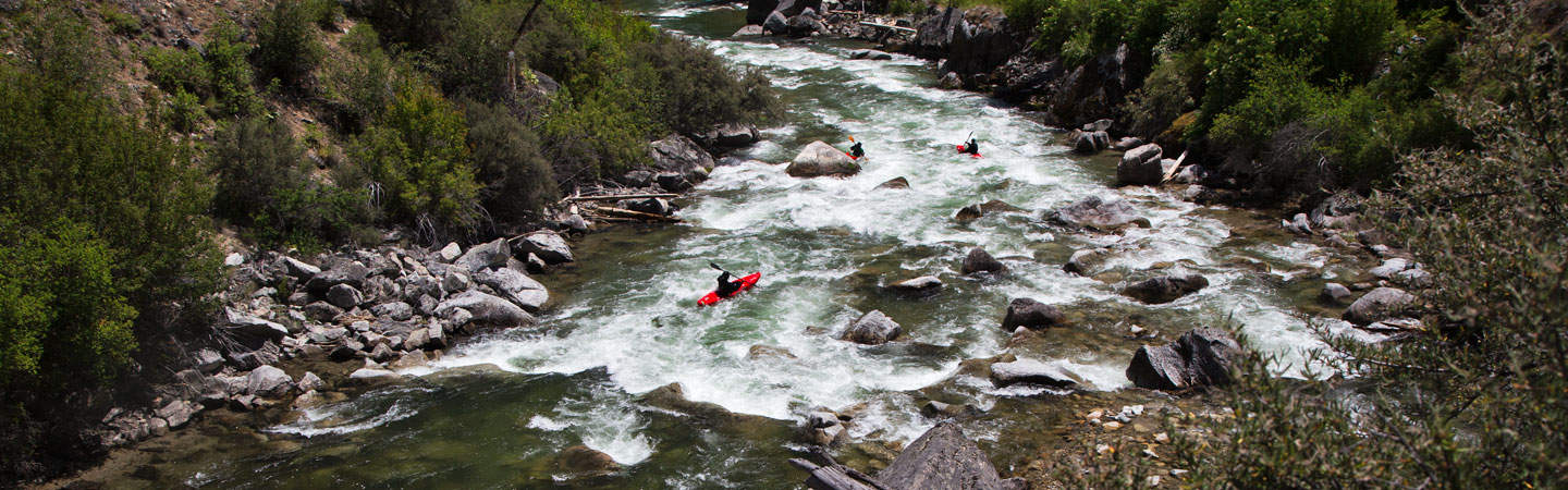
For most normal boaters interested in the Bacon the access here is probably the best option. There was a large flood and landslide across the road. The road is still covered in large gravel and the site is very noticeable. There is also a nice roadside camp/pullout/turn around just before the gravel. Hiking down hill along the gravel washout is a very simple option. The distance is about 500 feet with no big drops or fallen trees to scramble over. This drops you at the last real rapid in the cascades. It would give class II-III boaters the option to boat the beautiful river and not deal with the monster rapid at the top. Adventurous boaters can easily walk upstream and ferry to run some of the smaller rapids on the cascades.
Location
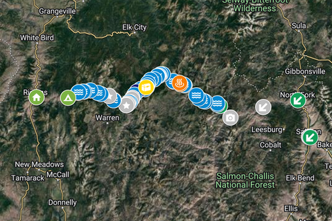
Current Conditions
5-Day Forecast
American Whitewater