Take-out
TN
Take Out
Save this feature with the run it belongs to.
Gauge Conditions
Data from American Whitewater & USGS
Photo
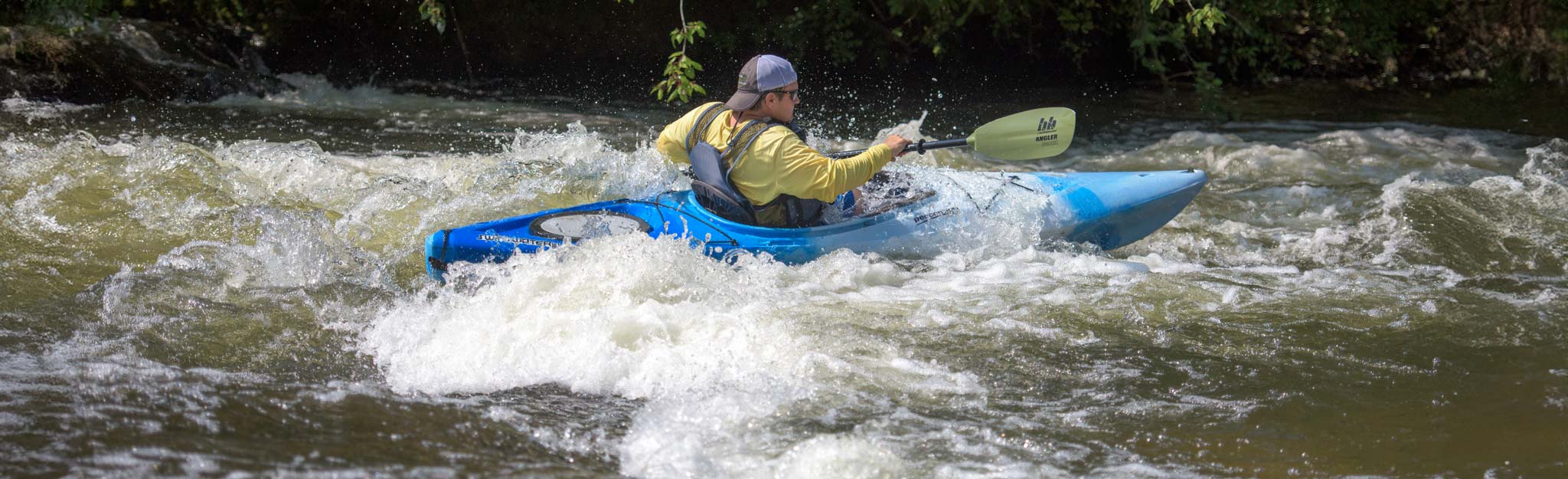
Photo courtesy of American Whitewater
Description
Take Out is the terminus of this run, marked by a transition from moving water to the confluence with the Hiwassee River. Limited information is available about specific technical challenges, suggesting paddlers should scout carefully and be prepared for potential hazards at the river's exit point. Local knowledge and current river conditions are critical for safely navigating this section.
Location
Interactive river map
Loads as you approach this section.




View Full Run
Highway 68 to Hiwassee River
Coker Creek
III-IV(V)
5.5 mi
Current Conditions
5-Day Forecast
Whitewater data from
American Whitewater
American Whitewater