Rapid
NC
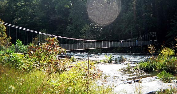
The Forest Service Bridge
Save this feature with the run it belongs to.
Gauge Conditions
Data from American Whitewater & USGS
Photo
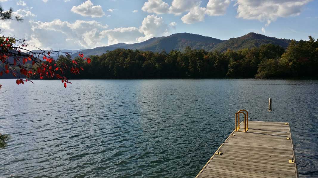
Photo courtesy of American Whitewater
Description
Once you see the next bridge, be ready for the Cheoah's final 2 mile mad dash to the lake. This signifies the start of the lower portion of the Cheoah, where the rapids will accelerate back up to IV-V and soon plunge through a large and very long Class V rapid. This is also an alternate put-in for the Lower Cheoah.
Location
Interactive river map
Loads as you approach this section.
Other Rapids on This Run (20)
 Rapid
Rapid
Put-In
 Rapid
Rapid
First diversion pipe
 Hazard
III+
Hazard
III+
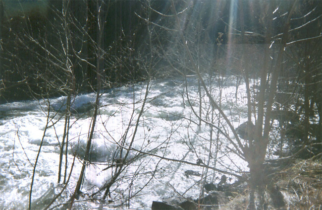
Craik's Ledge
 Hazard
IV
Hazard
IV
The rapid above the pipe
 Rapid
III+
Rapid
III+
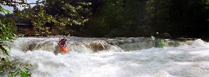
Swinging Bridge Rapid
 Hazard
IV+
Hazard
IV+
Wilma's Ledge aka God's Dam
 Hazard
IV+
Hazard
IV+
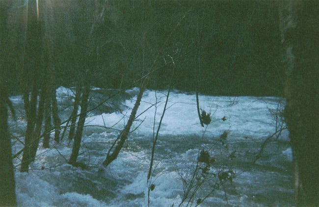
Takeout Rapid (not the takeout)
 Hazard
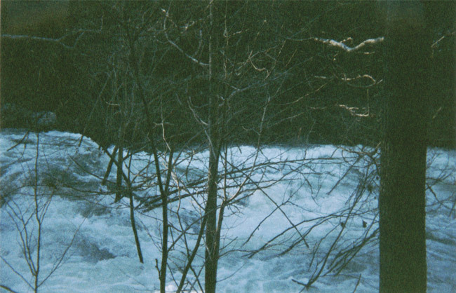
Takeout/Entrance
 Hazard
Takeout/First Drop
 Rapid
IV
Rapid
IV
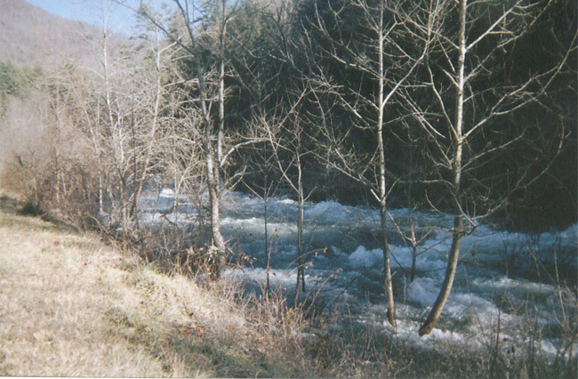
Typical Upper Cheoah Scene
 Rapid
IV
Rapid
IV
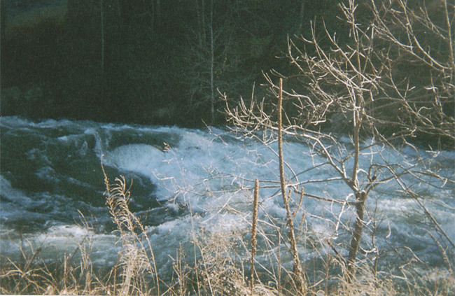
Typical Rapid on the Middle Cheoah - Yellow Creek Rapid.
Rapid
IV
Land of Holes
 Rapid
I
Rapid
I
The deadend pool
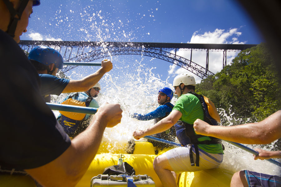 Rapid
III
Rapid
III
The easy stuff
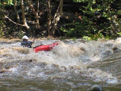 Playspot
III
Playspot
III
Rod's Hole
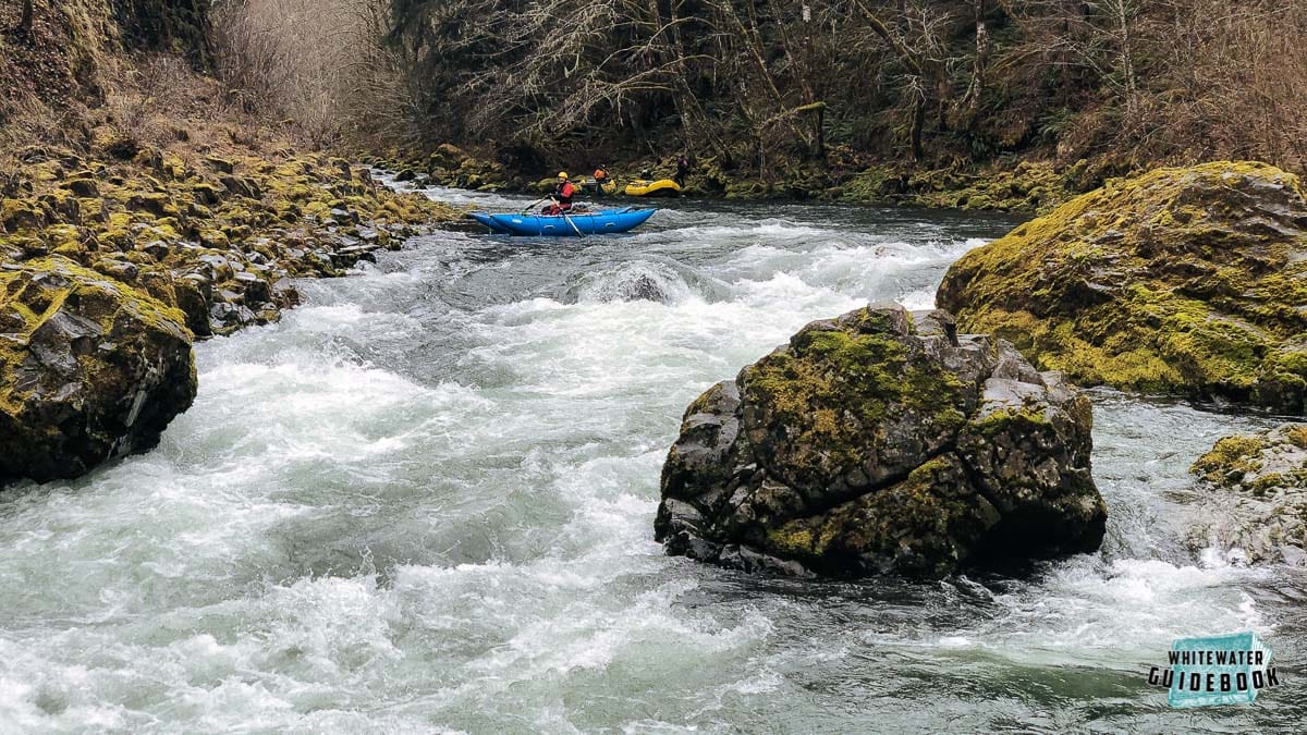 Rapid
IV+
Rapid
IV+
Entrance to Bear Creek Rapid
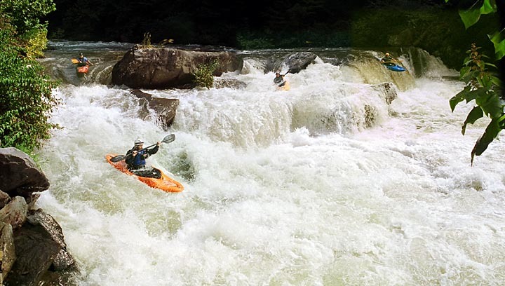 Waterfall
V
Waterfall
V
The Falls
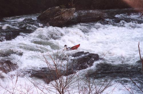 Hazard
V
Hazard
V
Bear Creek Rapid (The Slide)
 Rapid
IV+
Rapid
IV+
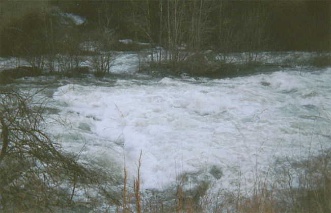
Bear Creek - The left side of the Island.
 Hazard
V
Hazard
V
Bear Creek Rapid (The Hole)
View Full Run
Santeetlah Dam to Calderwood Lake Boat Launch
Cheoah
IV-V
9.1 mi
Current Conditions
5-Day Forecast
Whitewater data from
American Whitewater
American Whitewater