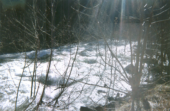
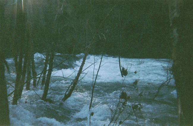
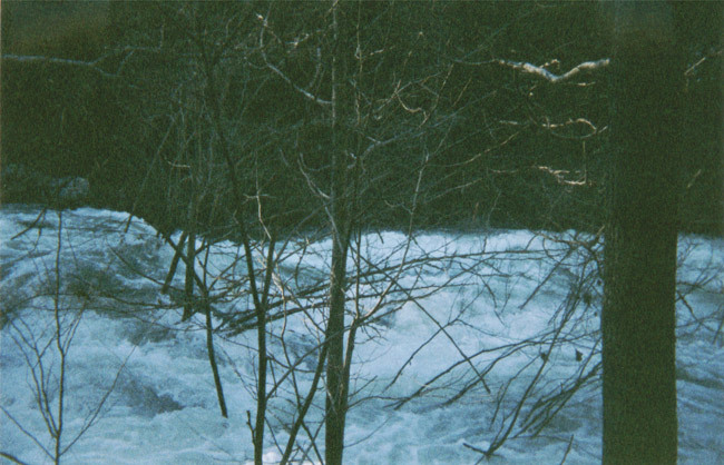
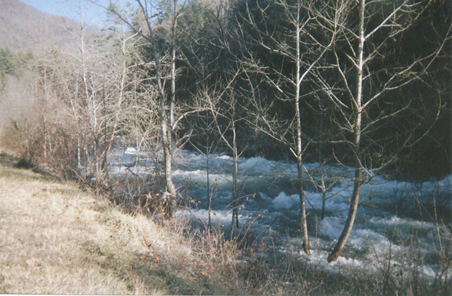
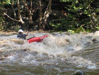
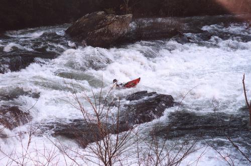
Typical Rapid on the Middle Cheoah - Yellow Creek Rapid.
Save this feature with the run it belongs to.
Gauge Conditions
Data from American Whitewater & USGS
Photo
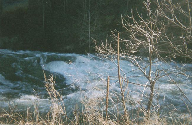
Photo courtesy of American Whitewater
Description
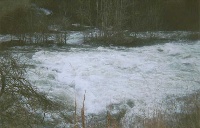
This is a typical rapid on the middle part of the Cheoah. This middle section opens up considerably from the tree-infested upper part. It's about five miles of rapids like this: big, pushy, very similar to Gauley rapids but much, much more continuous. This section is not as demanding as the tighter upper two miles, largely because of the lack of trees and the larger riverbed with wider rapids and more routes through them.
Location
Interactive river map
Loads as you approach this section.
Other Rapids on This Run (20)
 Rapid
Rapid
Put-In
 Rapid
Rapid
First diversion pipe
 Hazard
III+
Hazard
III+
Craik's Ledge
 Hazard
IV
Hazard
IV
The rapid above the pipe
 Rapid
III+
Rapid
III+
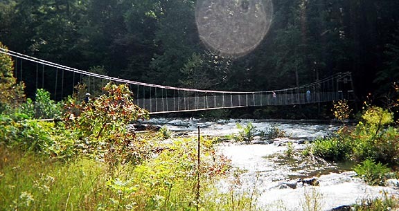
Swinging Bridge Rapid
 Hazard
IV+
Hazard
IV+
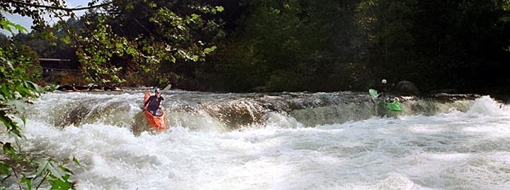
Wilma's Ledge aka God's Dam
 Hazard
IV+
Hazard
IV+
Takeout Rapid (not the takeout)
 Hazard
Takeout/Entrance
 Hazard
Takeout/First Drop
 Rapid
IV
Rapid
IV
Typical Upper Cheoah Scene
Rapid
IV
Land of Holes
 Rapid
I
Rapid
I
The deadend pool
 Rapid
III
Rapid
III
The easy stuff
 Rapid
Rapid
The Forest Service Bridge
 Playspot
III
Playspot
III
Rod's Hole
 Rapid
IV+
Rapid
IV+
Entrance to Bear Creek Rapid
 Waterfall
V
Waterfall
V
The Falls
 Hazard
V
Hazard
V
Bear Creek Rapid (The Slide)
 Rapid
IV+
Rapid
IV+
Bear Creek - The left side of the Island.
 Hazard
V
Hazard
V
Bear Creek Rapid (The Hole)
View Full Run
Santeetlah Dam to Calderwood Lake Boat Launch
Cheoah
IV-V
9.1 mi
Current Conditions
5-Day Forecast
Whitewater data from
American Whitewater
American Whitewater