Upper Bridge
Save this feature with the run it belongs to.
Gauge Conditions
CDEC Flow Data California
Description
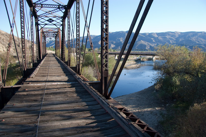
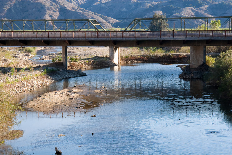
As of 2020, from here to the second bridge is reported to be the only boatable section. The upper and lower sections have too much brush. This put in is available 7 days a week and avoids the brushy jungle below the dam put in.
There is a limited amount of parking along the narrow shoulder of the highway. The highway right of way is reported to be 30 feet on each side of the center line. The property fence is probably on that boundary but then encroaches in up to the edge of the bridge. It is a bit awkward to get around the fence, but it is legal to access the river from the road right of way. Once on the creek, there is a public right of way below the high water mark. The creek drops about 2 or 3 feet on the downstream side of the bridge. At higher flows it must create a dangerous reversal. At 250 cfs, the left channel did not have enough water to scrape through. We got stuck and had to walk (sept 2, 2007). The center opening looked like it had enough water to paddle through. There was a reversal there, but probably not big enough to do anything.
Location

Current Conditions
5-Day Forecast
American Whitewater