Access Sites in Oregon
Find mapped boat ramps, launches, and public water access points across the United States.
1,379
Total Sites
24
Loaded
1
Regions
Map view
Explore nearby access
Pan or zoom to load the sites in view, then open a marker for details and directions.
Interactive access map
Loads after the directory is visible.
Loading...
Navigation Tips
- Zoom in to load more sites in your area of interest
- Click on clusters (numbered circles) to zoom into that area
- Click on individual markers for site details and directions
- Use scroll wheel or pinch to zoom, drag to pan
Directory results
Loaded access sites
The list reflects the current page and can be narrowed with the search field.
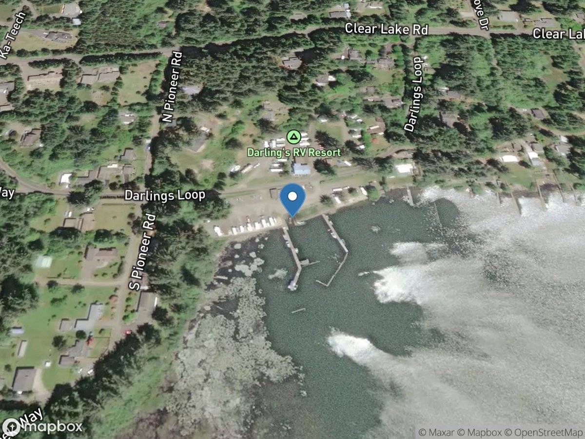
Darlings Resort
Access Site
Siltcoos Lake
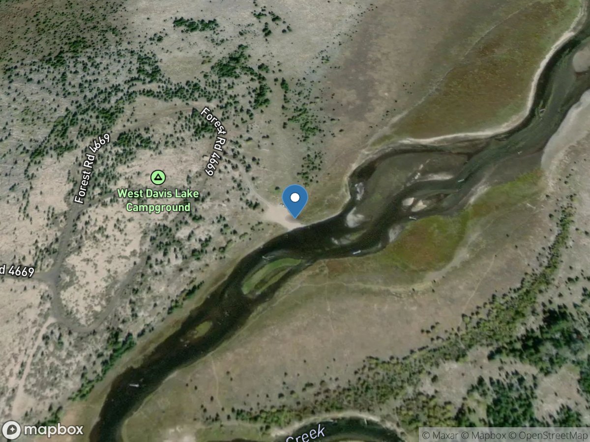
Davis Creek
Access Site
Odell Creek - Davis Lake
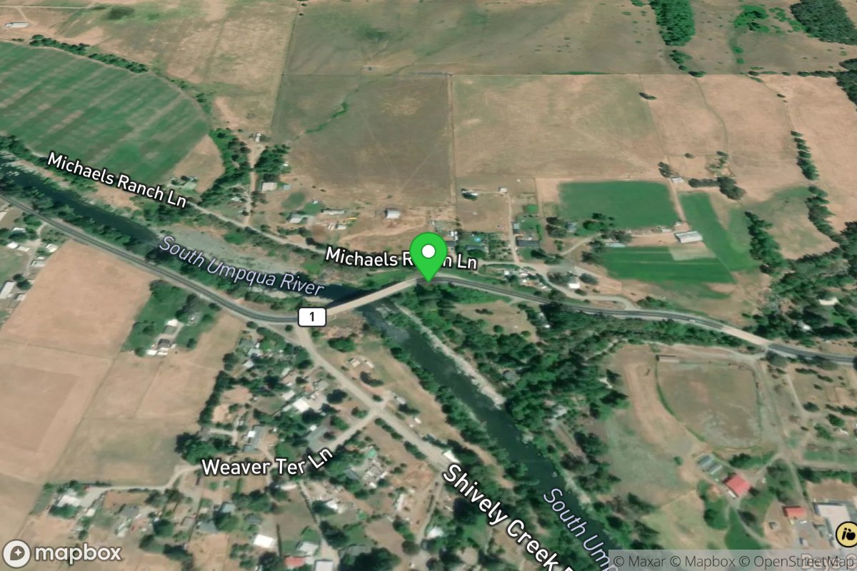
Days Creek
Access Site
Umpqua, South
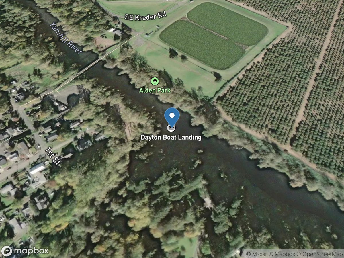
Dayton
Access Site
Yamhill River
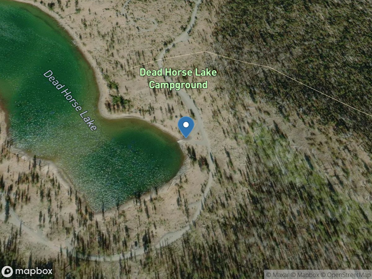
Deadhorse Lake Campground
Access Site
Deadhorse Lake
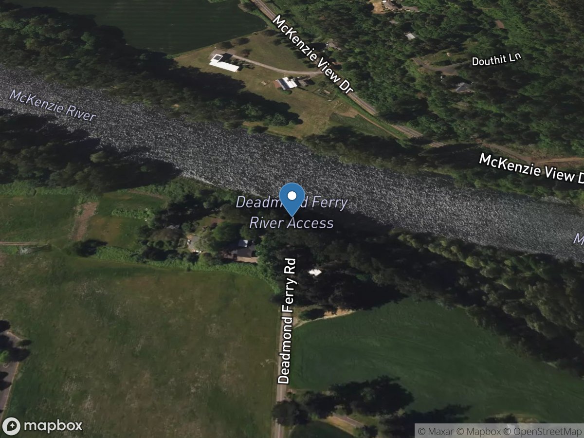
Deadmond's Ferry Landing
Access Site
McKenzie River
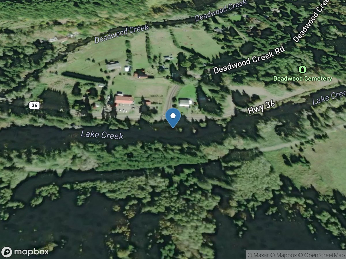
Deadwood
Access Site
Lake Creek
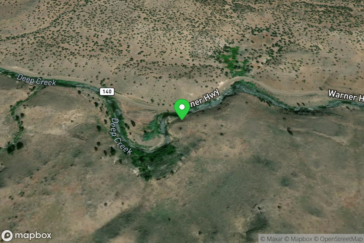
Deep Creek Falls Put In
Access Site
Deep Creek
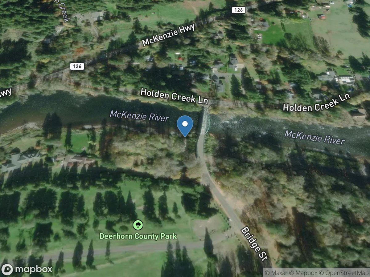
Deerhorn Landing
Access Site
McKenzie River
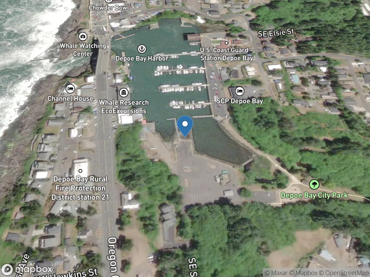
Depoe Bay Harbor
Access Site
Depoe Bay
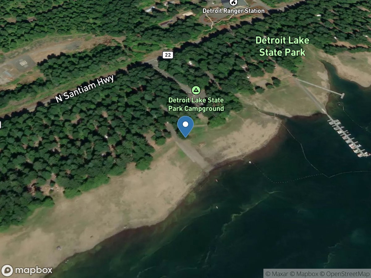
Detroit Lake State Park - D Ramp
Access Site
North Santiam River - Detroit Lake
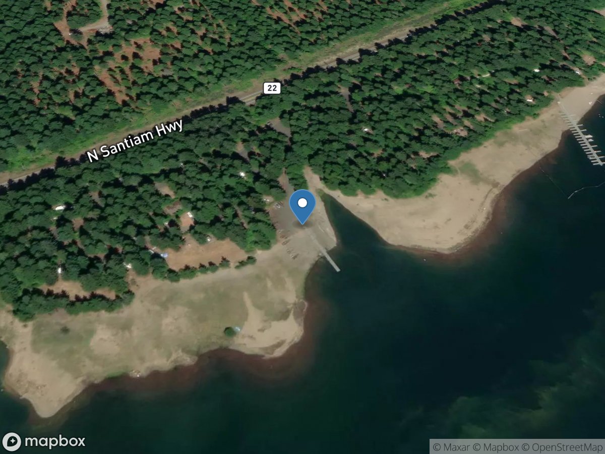
Detroit Lake State Park - G Ramp
Access Site
North Santiam River - Detroit Lake
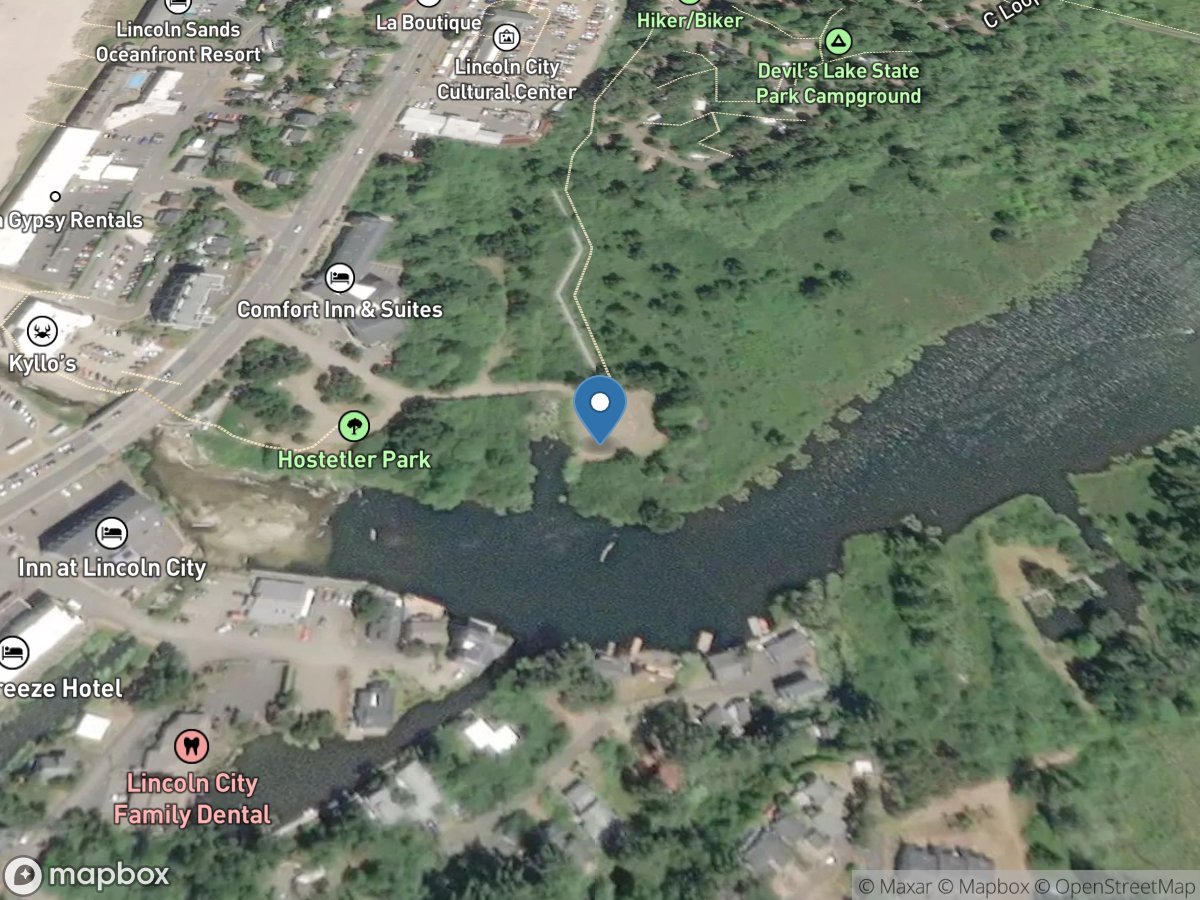
Devils Lake State Recreation Area
Access Site
Devils Lake
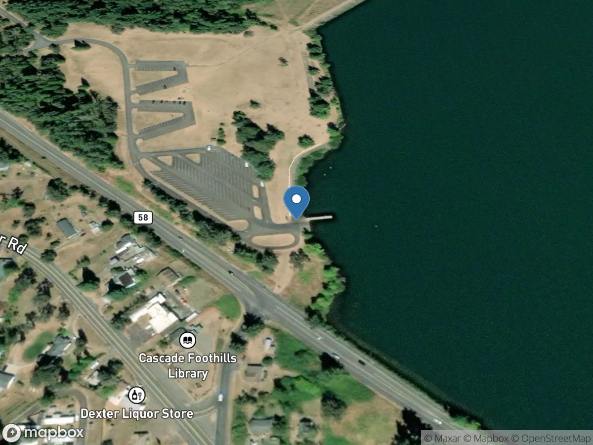
Dexter State Park
Access Site
MIddle Fork Willamette River - Dexter Reservoir
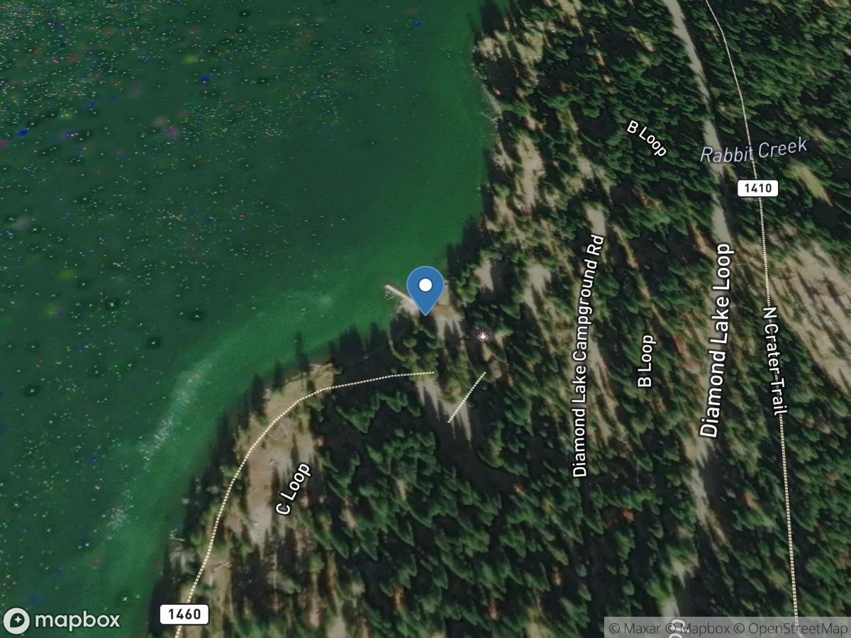
Diamond Lake Campground - C Loop
Access Site
Diamond Lake
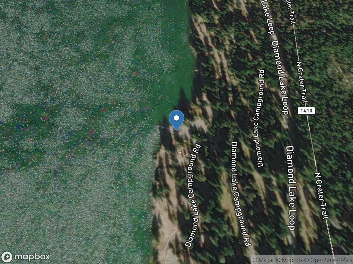
Diamond Lake Campground - M Loop
Access Site
Diamond Lake
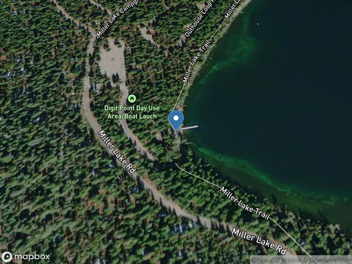
Digit Point Campground
Access Site
Miller Lake
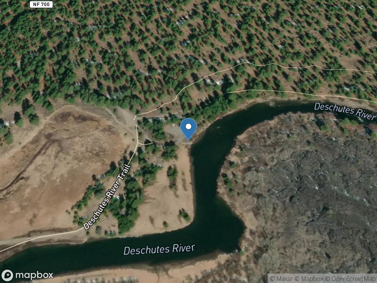
Dillon Falls
Access Site
Deschutes River
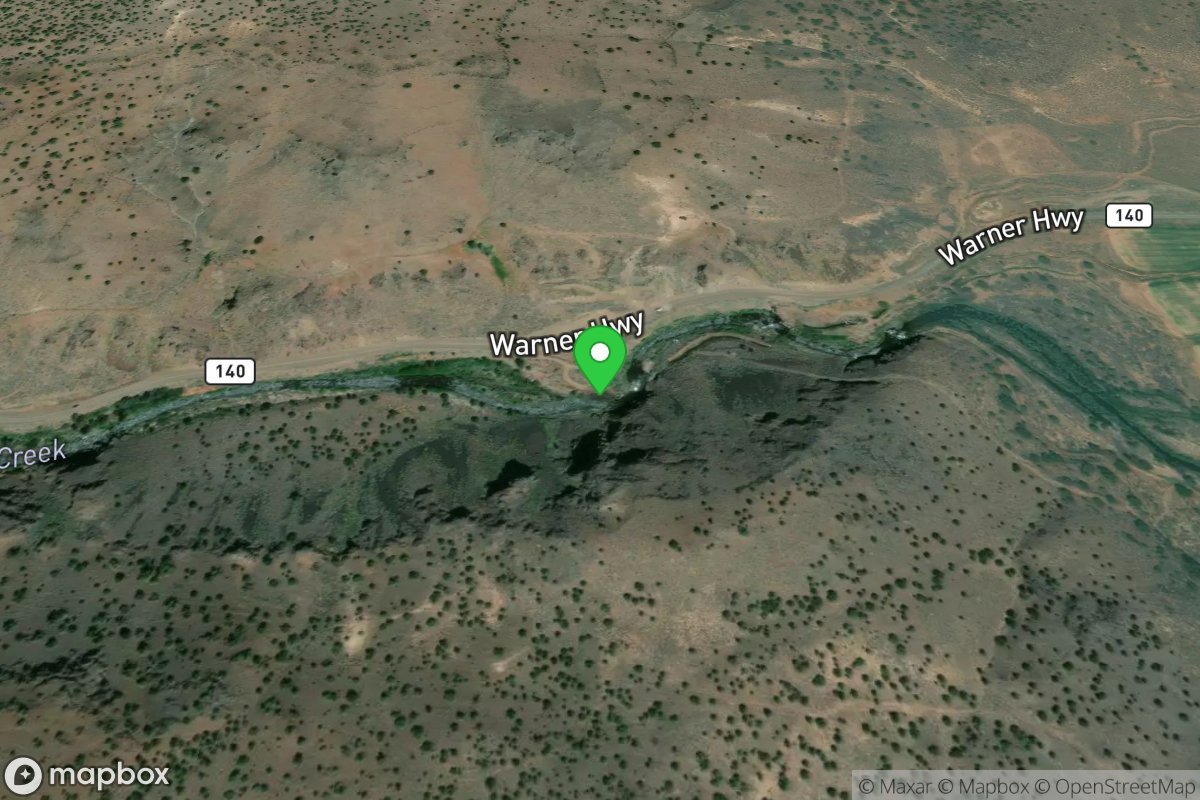
Diversion Dam Take Out
Access Site
Deep Creek
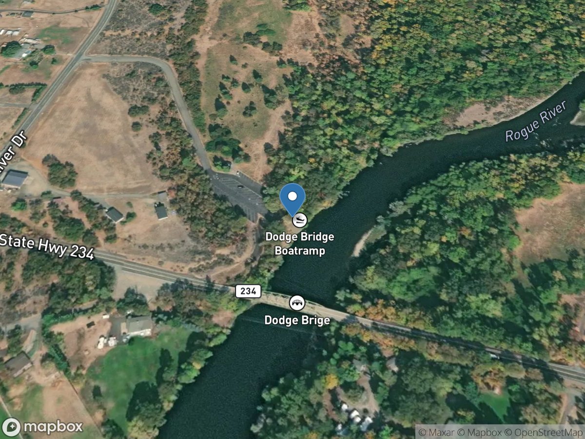
Dodge Bridge Park
Access Site
Rogue River
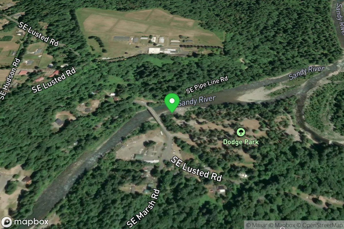
Dodge Park
Access Site
Sandy River
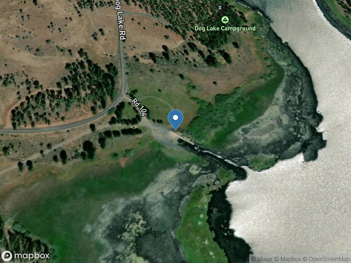
Dog Lake Campground
Access Site
Dog Lake
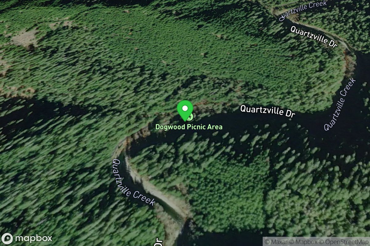
Dogwood Recreation Site
Access Site
Quartzville Creek

Doris Place
Access Site
Millicoma River