Access Sites in Wisconsin
Find mapped boat ramps, launches, and public water access points across the United States.
3,358
Total Sites
24
Loaded
1
Regions
Map view
Explore nearby access
Pan or zoom to load the sites in view, then open a marker for details and directions.
Interactive access map
Loads after the directory is visible.
Loading...
Navigation Tips
- Zoom in to load more sites in your area of interest
- Click on clusters (numbered circles) to zoom into that area
- Click on individual markers for site details and directions
- Use scroll wheel or pinch to zoom, drag to pan
Directory results
Loaded access sites
The list reflects the current page and can be narrowed with the search field.
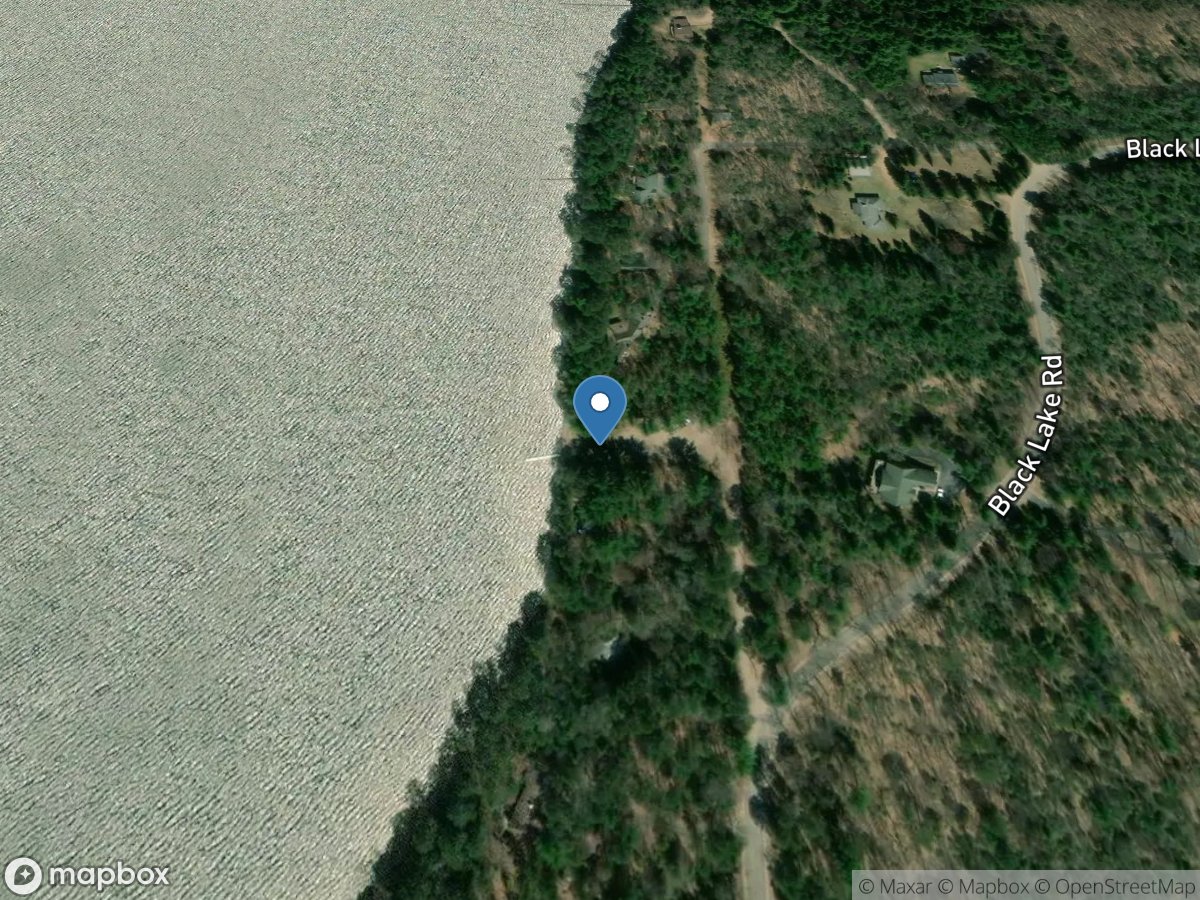
Two Sisters Lake
Access Site
Two Sisters Lake
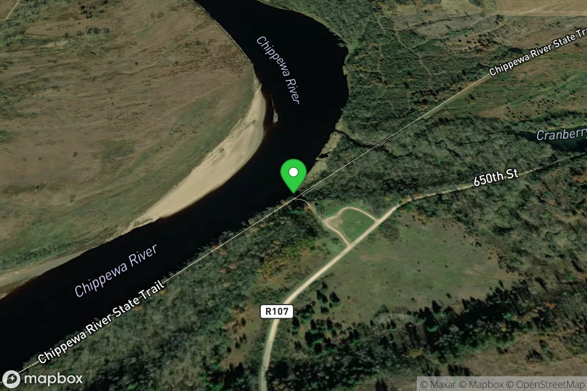
Tyrone Canoe Landing
Access Site
Chippewa River
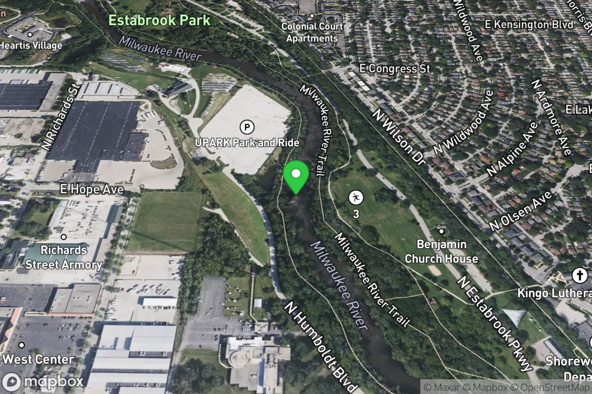
U-Park Shoals and U-Park Ledge ("UPL")
Access Site
Milwaukee
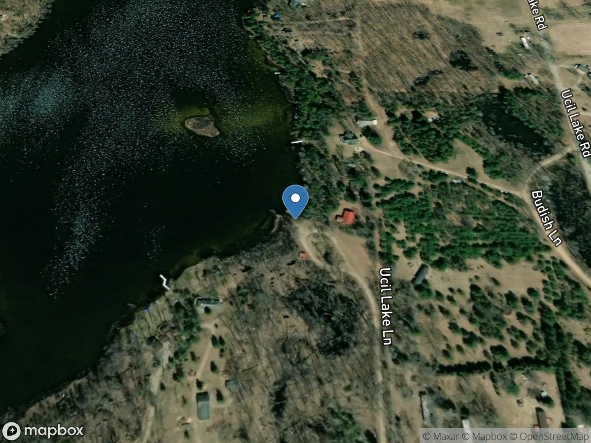
Ucil Lake
Access Site
Ucil Lake
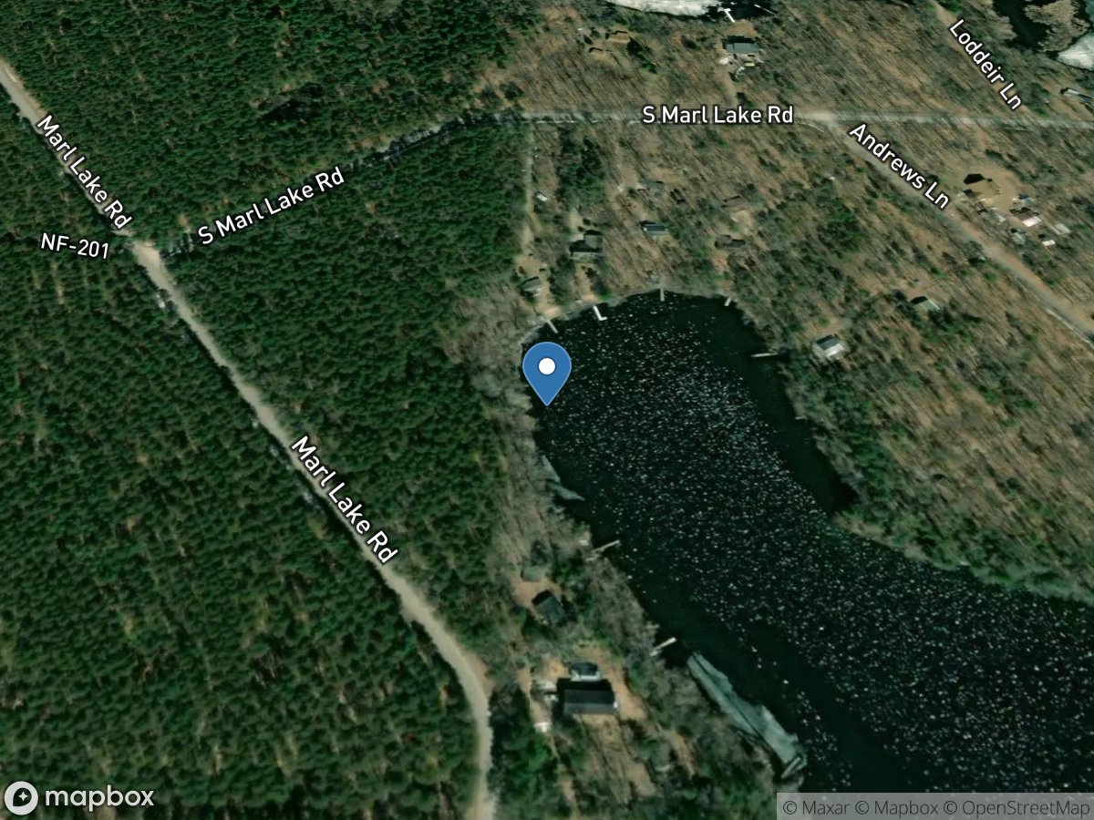
Underwood Lake
Access Site
Underwood Lake
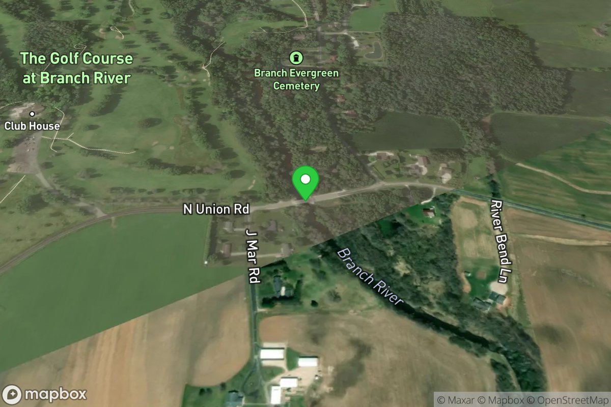
Union Road (Suggested/listed Put-in)
Access Site
Manitowoc
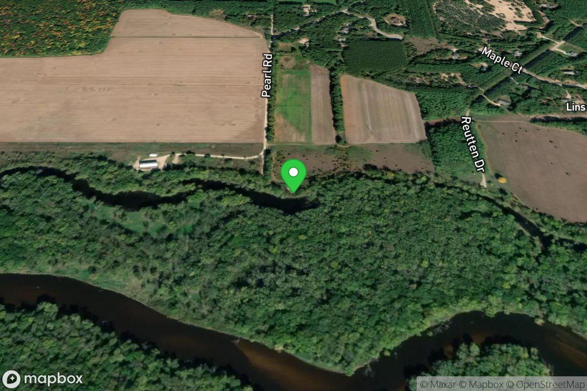
Unknown
Access Site
Hill Slough
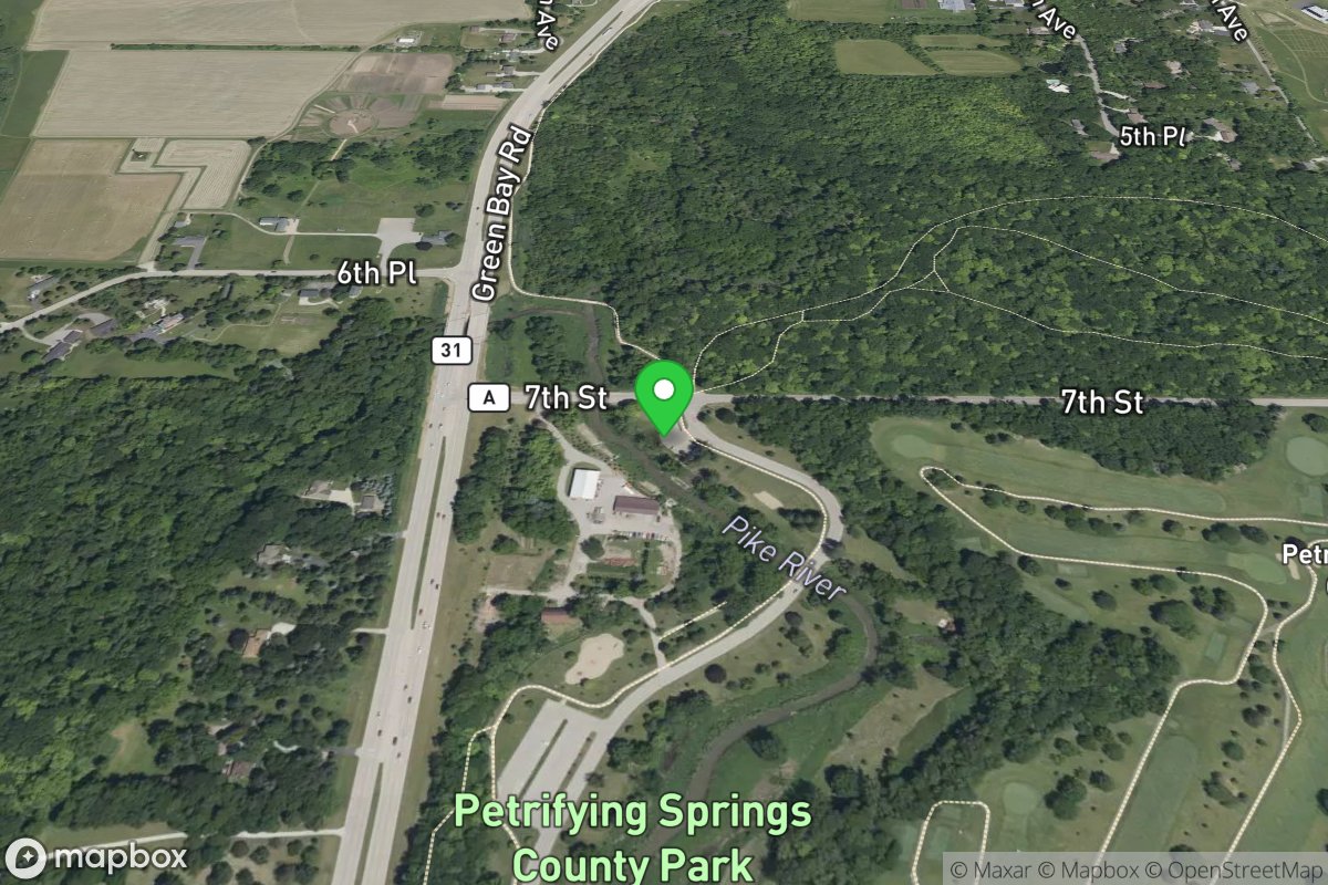
Upper Access
Access Site
Pike (Kenosha Co.)
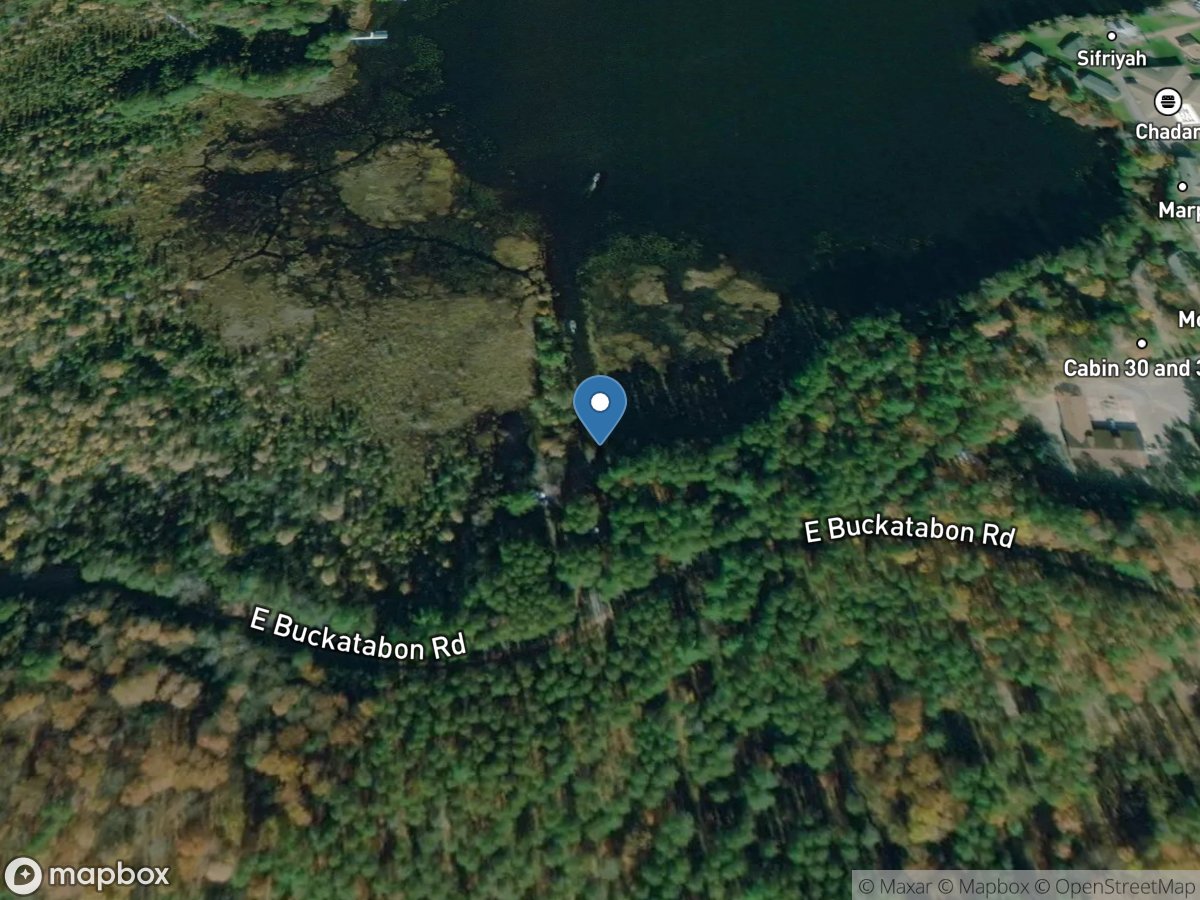
Upper Buckatabon Lake Access
Access Site
Upper Buckatabon Lake
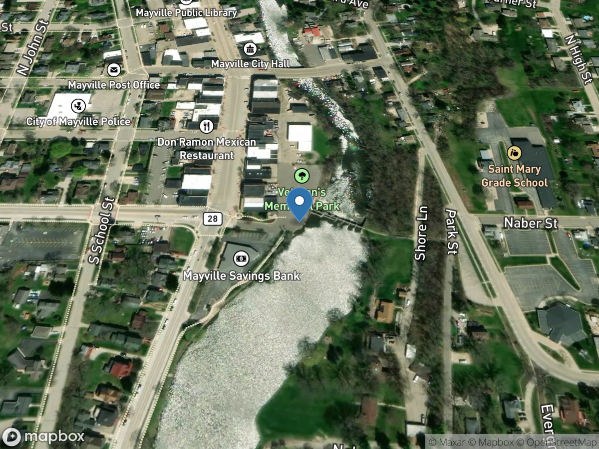
Upper Dam Mill Place
Access Site
East Branch Rock River - Upper Mayville Pond
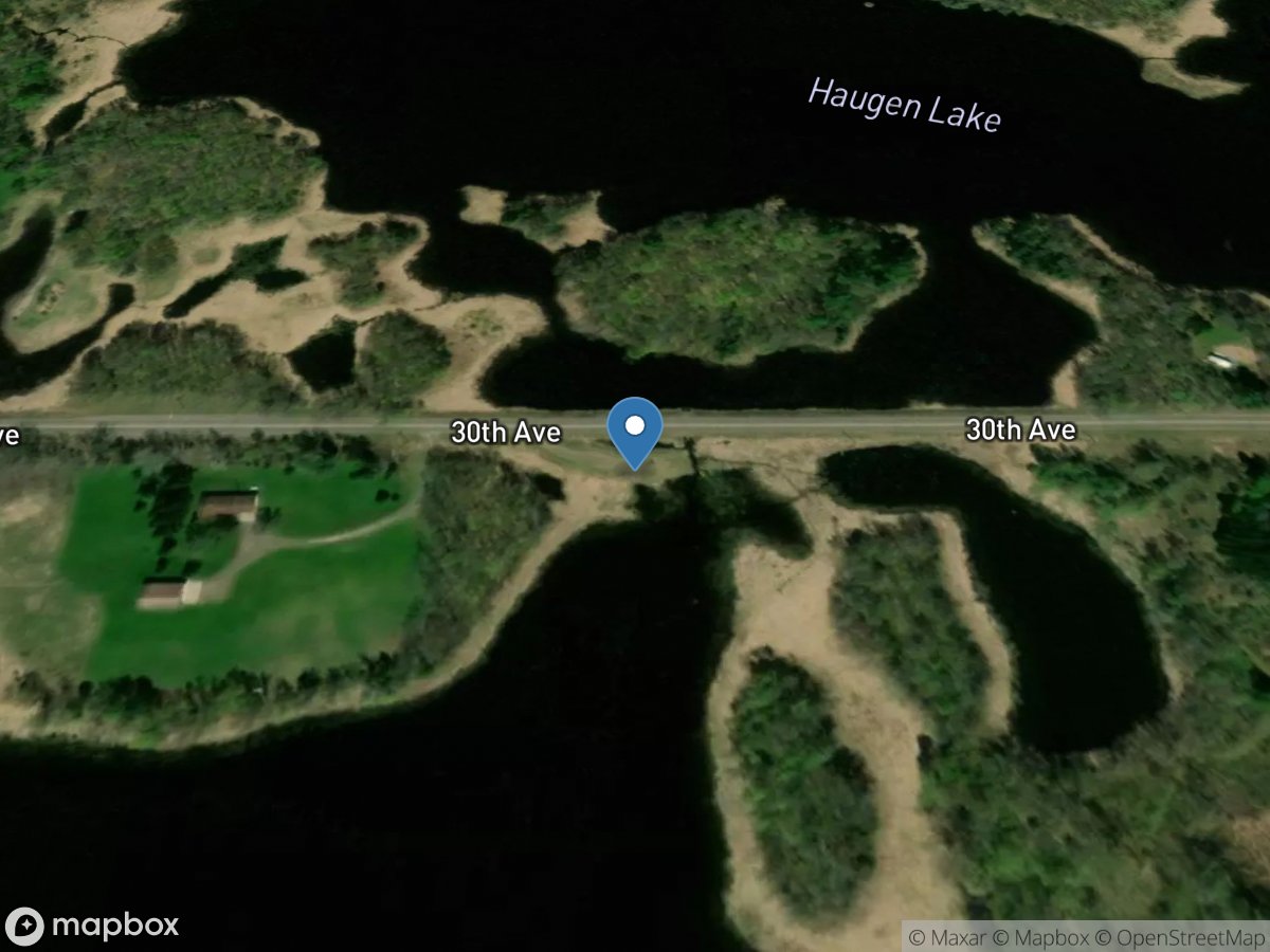
Upper Devils Lake
Access Site
Upper Devils Lake
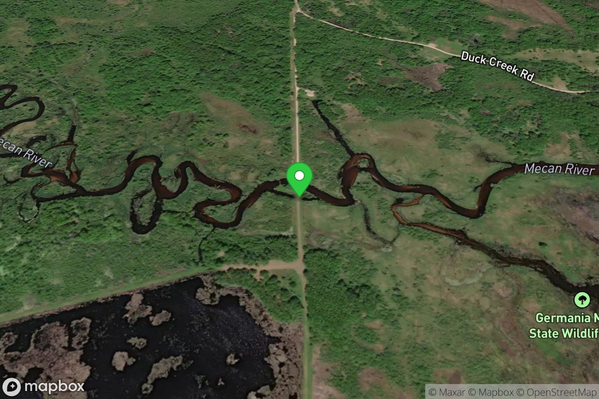
Upper Dike Fish Barrier Bypass Landing
Access Site
Mecan River
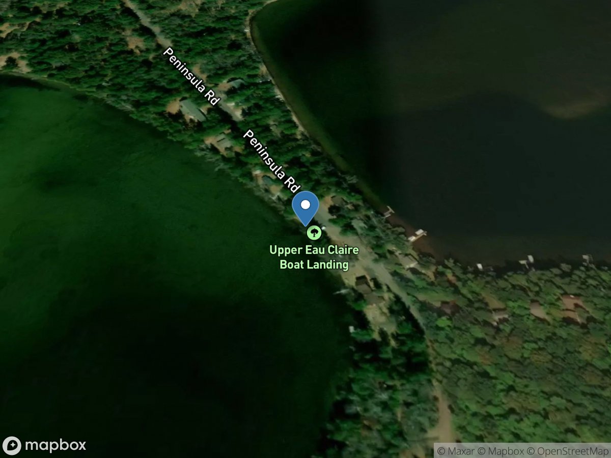
Upper Eau Claire Lake
Access Site
Upper Eau Claire Lake
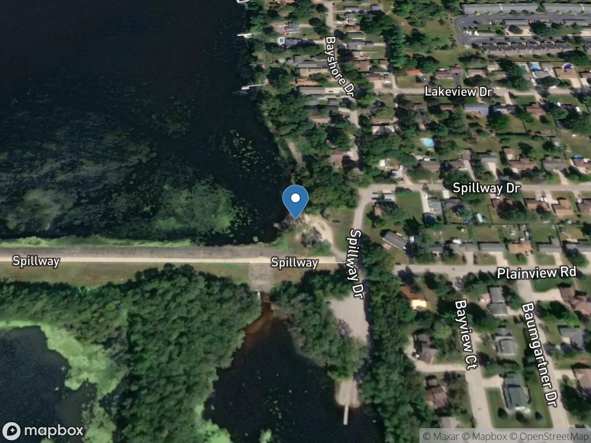
Upper French Island Spillway
Access Site
Lake Onalaska
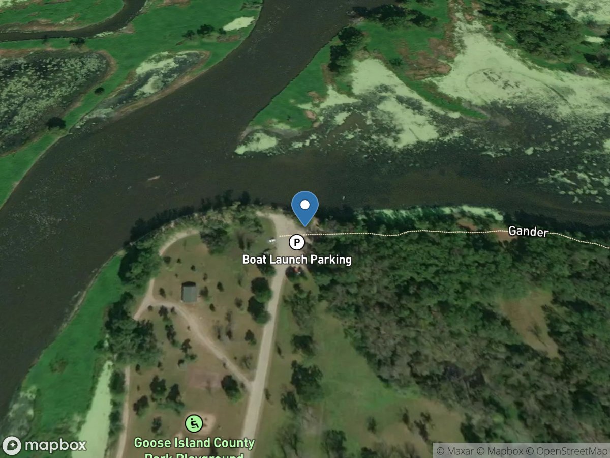
Upper Goose Island
Access Site
Wigwam Slough-Mississippi River
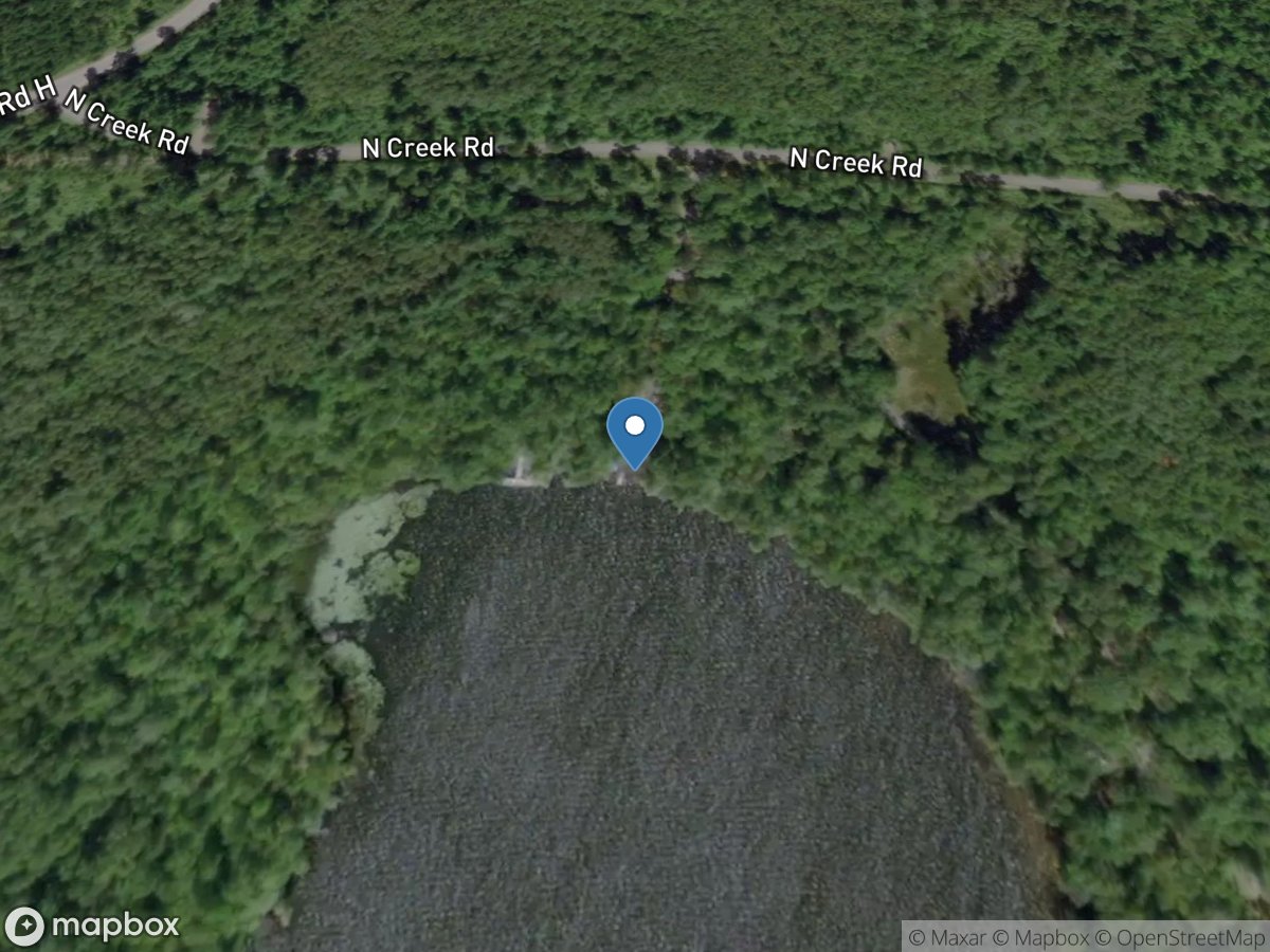
Upper Gresham Lake
Access Site
Upper Gresham Lake
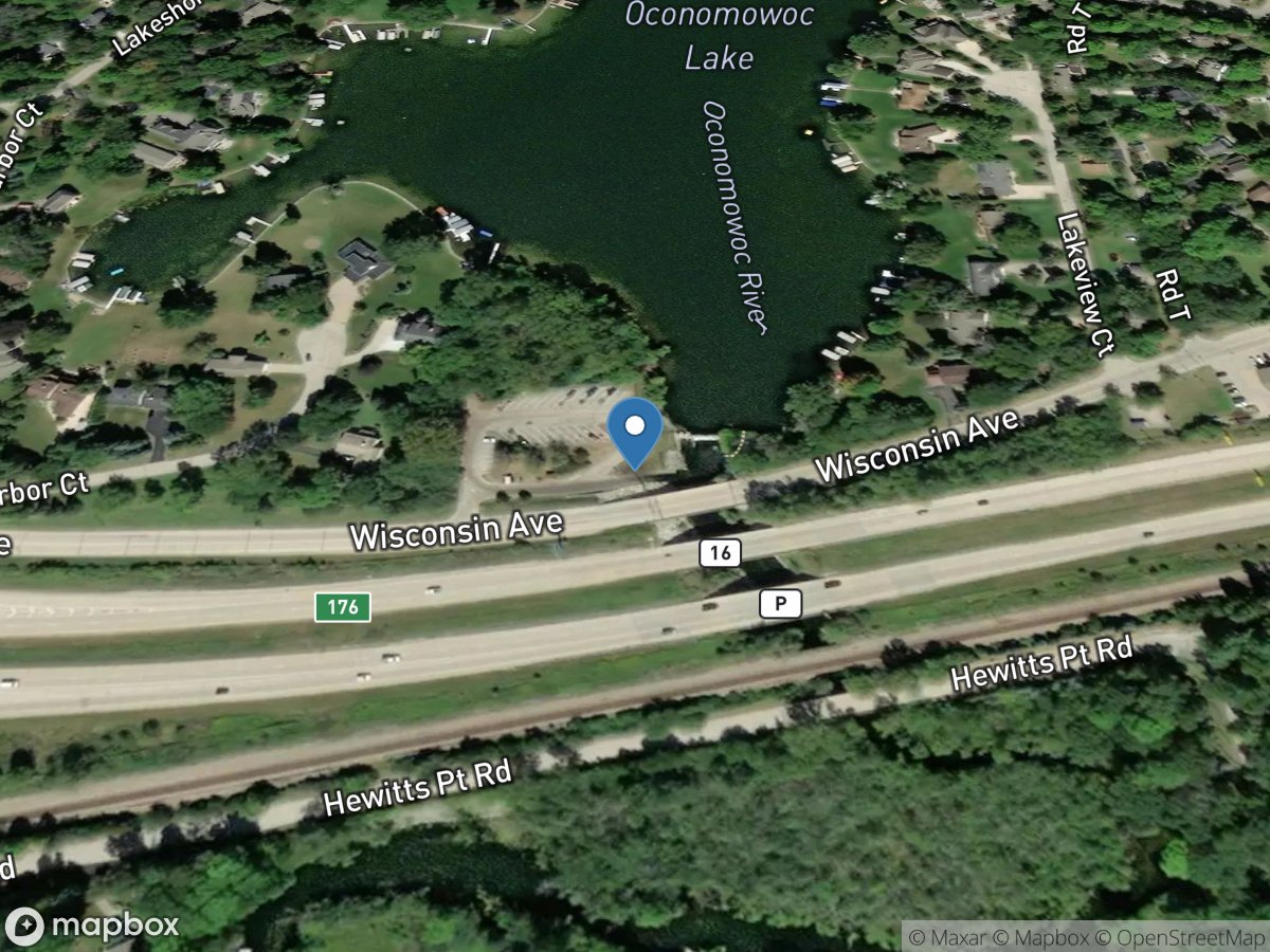
Upper Oconomowoc Lake
Access Site
Upper Oconomowoc Lake
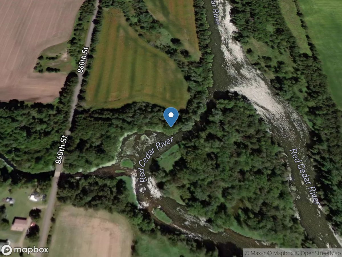
Upper Pike Creek
Access Site
Upper Pike Creek
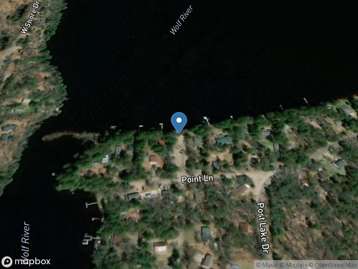
Upper Post Lake - South Access
Access Site
Upper Post Lake
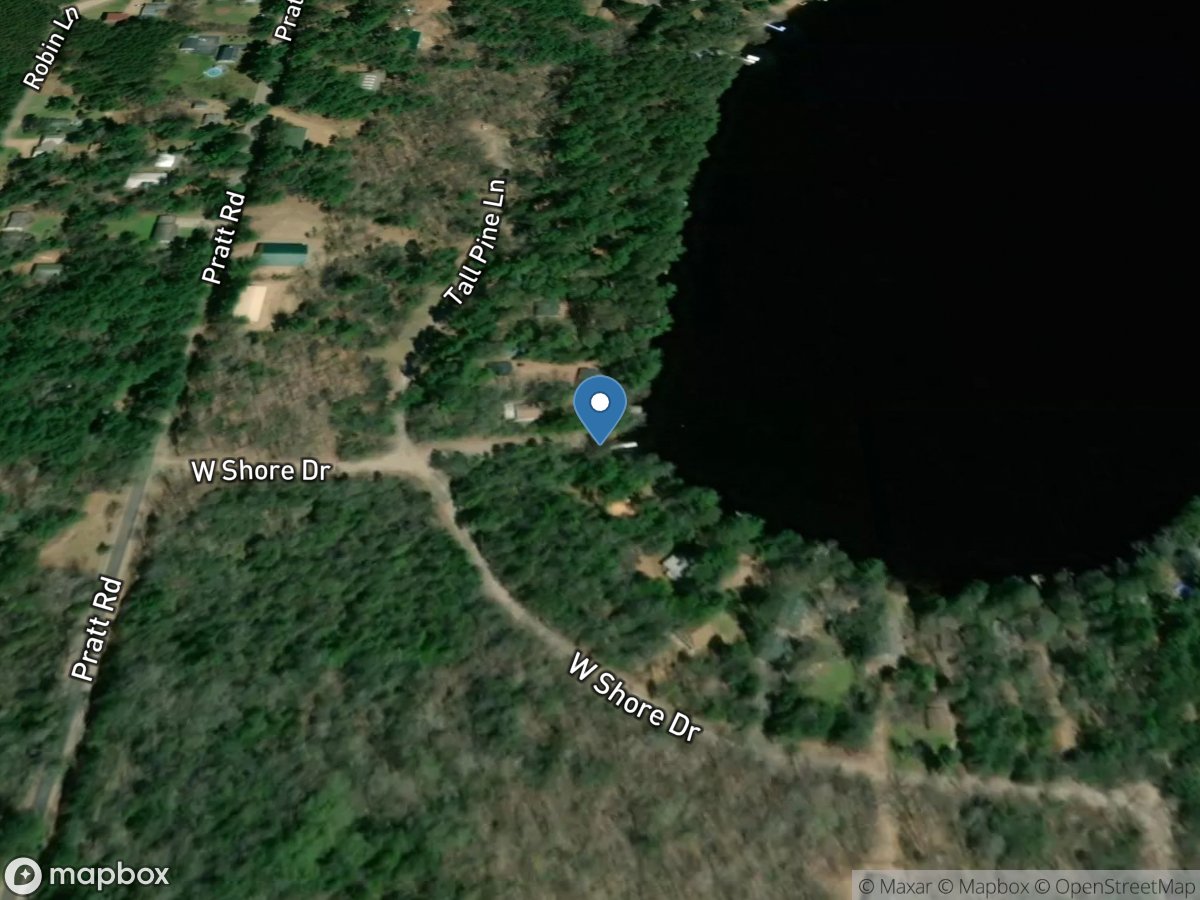
Upper Post Lake - West Access
Access Site
Upper Post Lake
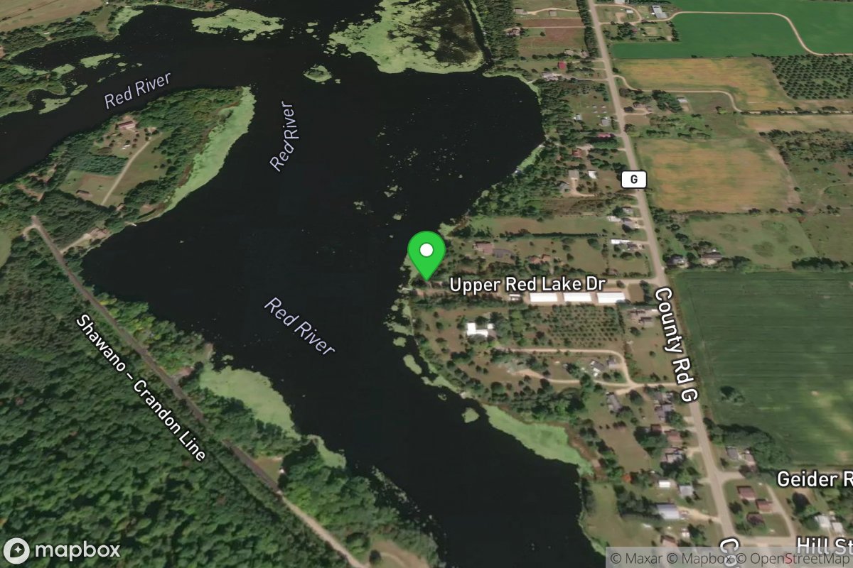
Upper Red Lake Canoe Launch
Access Site
Upper Red Lake
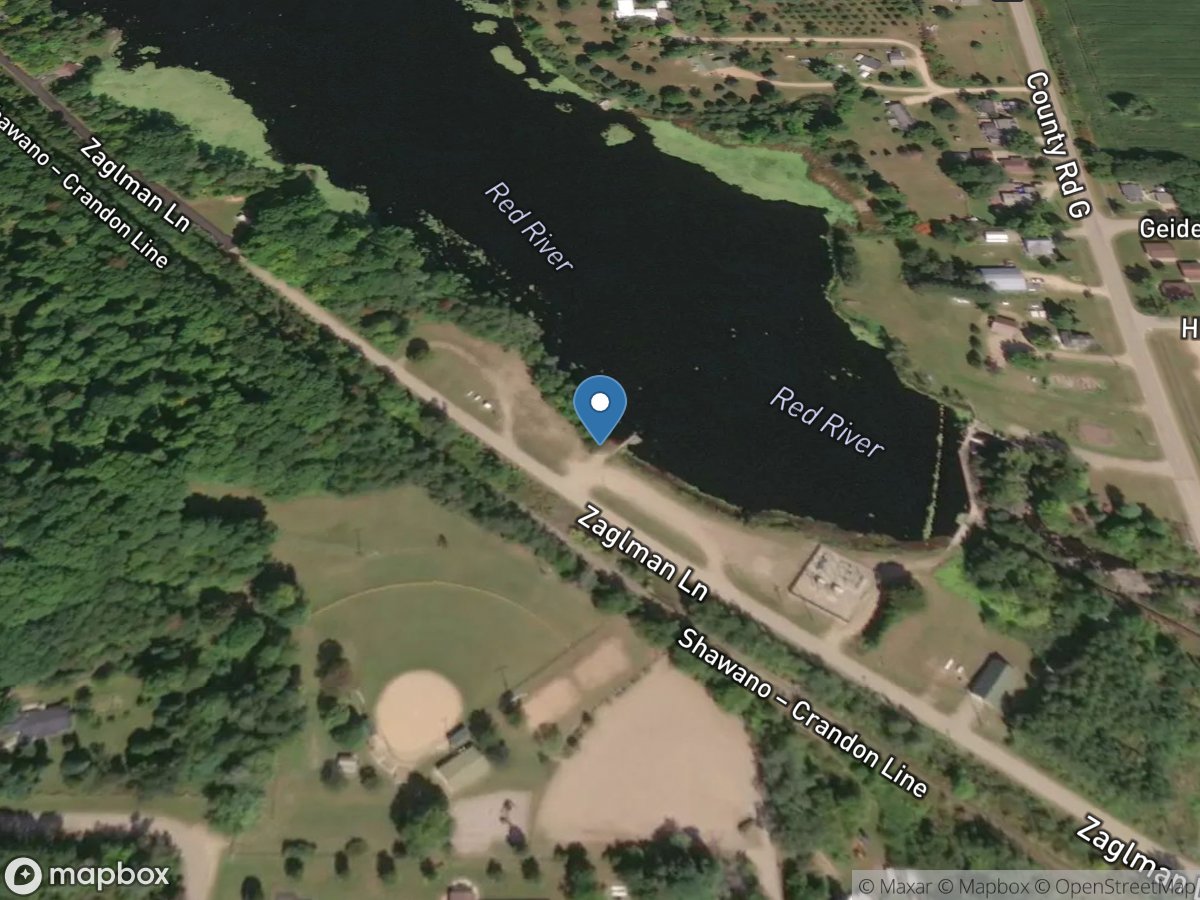
Upper Red Lake Landing
Access Site
Upper Red Lake
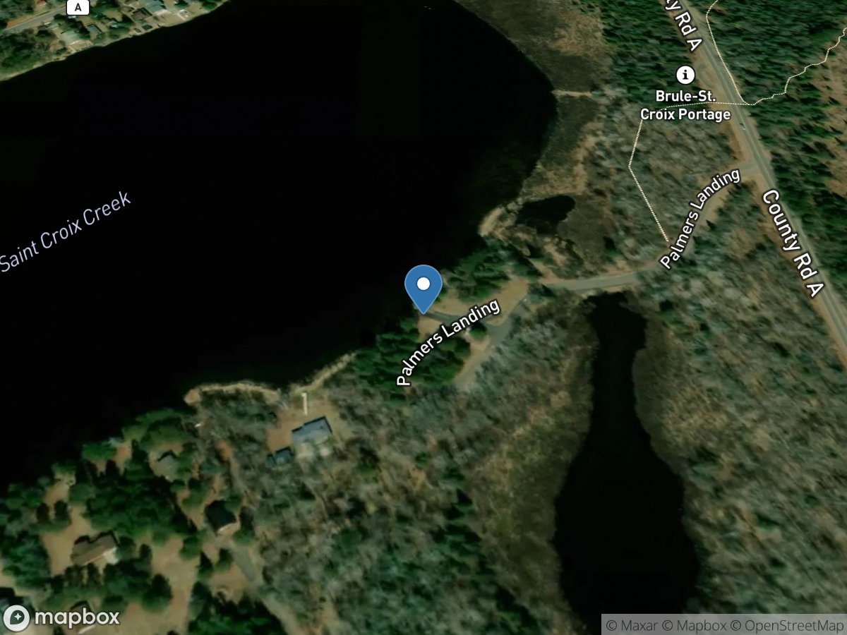
Upper Saint Croix Lake - North
Access Site
Upper Saint Croix Lake
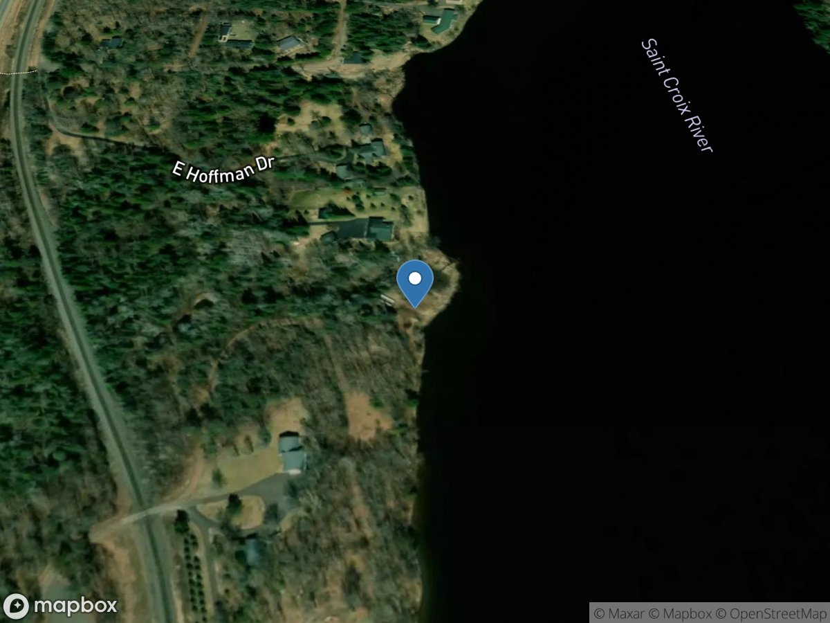
Upper Saint Croix Lake - South
Access Site
Upper Saint Croix Lake