Access Sites in Georgia
Find mapped boat ramps, launches, and public water access points across the United States.
1,200
Total Sites
24
Loaded
1
Regions
Map view
Explore nearby access
Pan or zoom to load the sites in view, then open a marker for details and directions.
Interactive access map
Loads after the directory is visible.
Loading...
Navigation Tips
- Zoom in to load more sites in your area of interest
- Click on clusters (numbered circles) to zoom into that area
- Click on individual markers for site details and directions
- Use scroll wheel or pinch to zoom, drag to pan
Directory results
Loaded access sites
The list reflects the current page and can be narrowed with the search field.
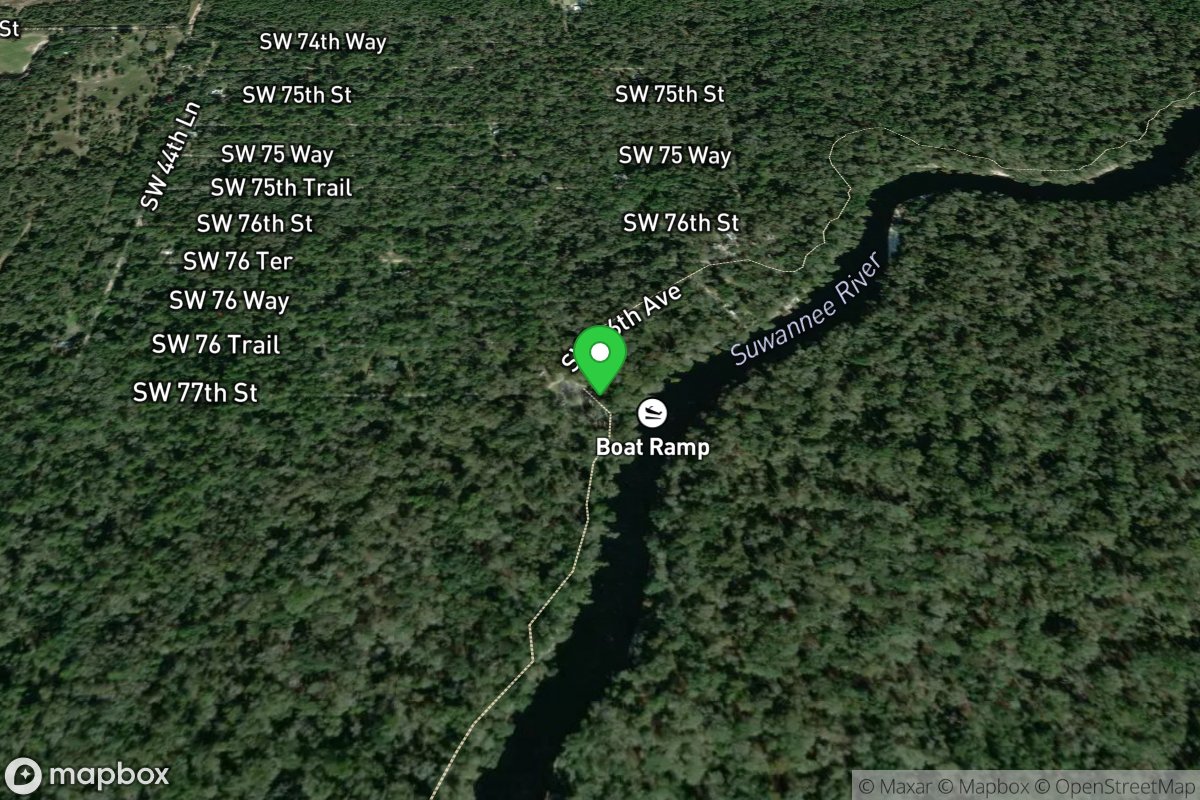
County Road 141 And Suwannee River
Access Site
Suwannee River (Hamilton County)
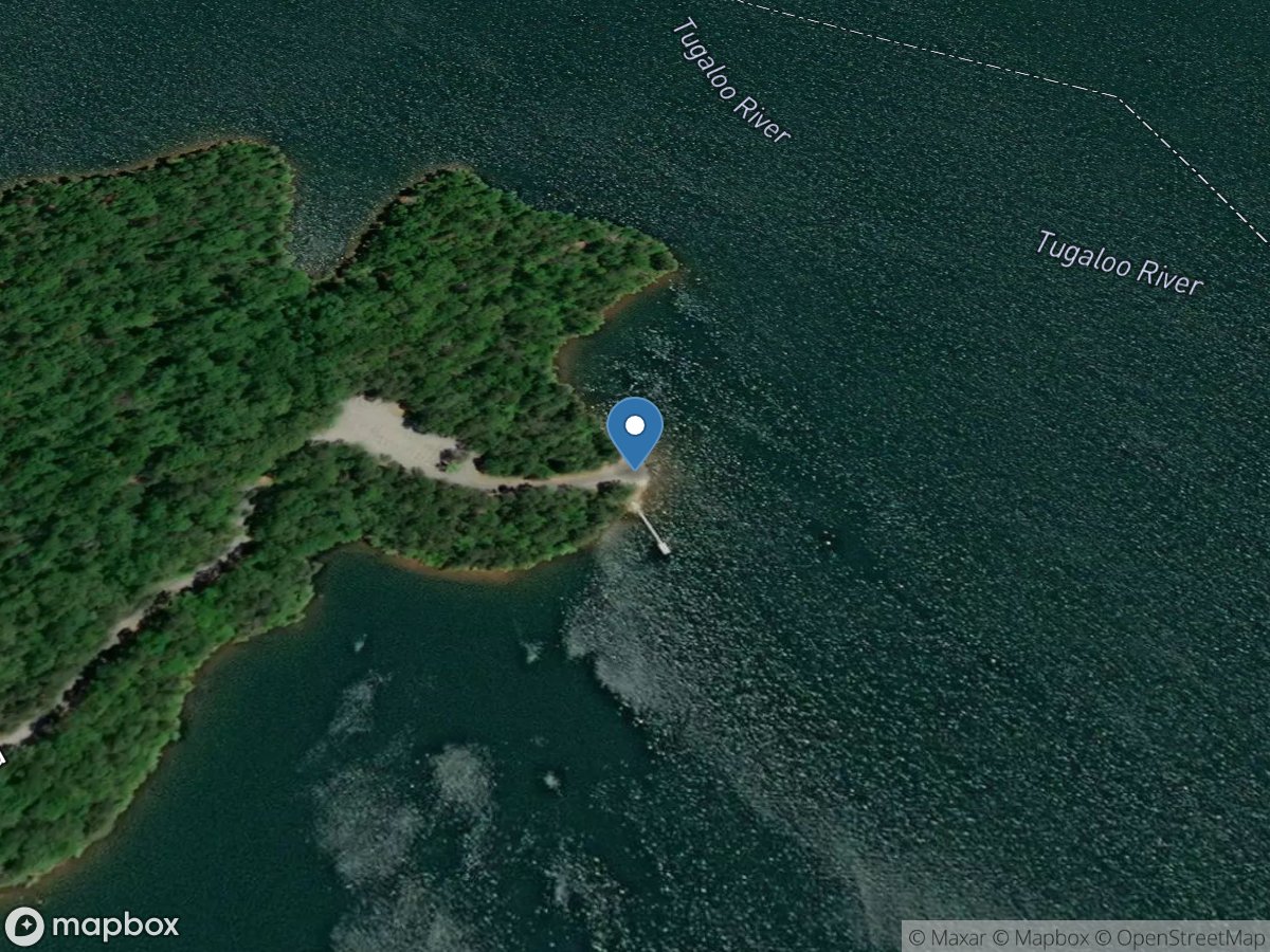
Crawfords Ferry
Access Site
Lake Hartwell
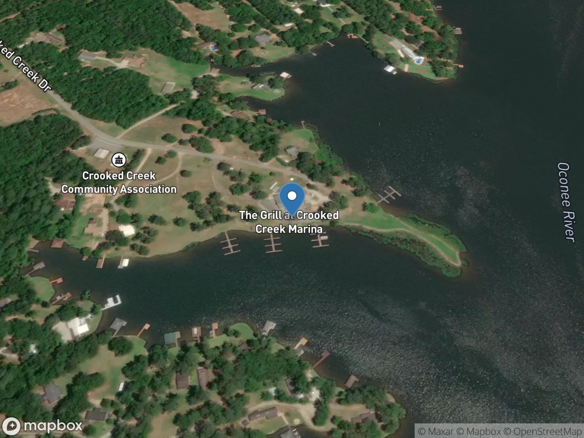
Crooked Creek Marina
Access Site
Oconee River - Lake Sinclair
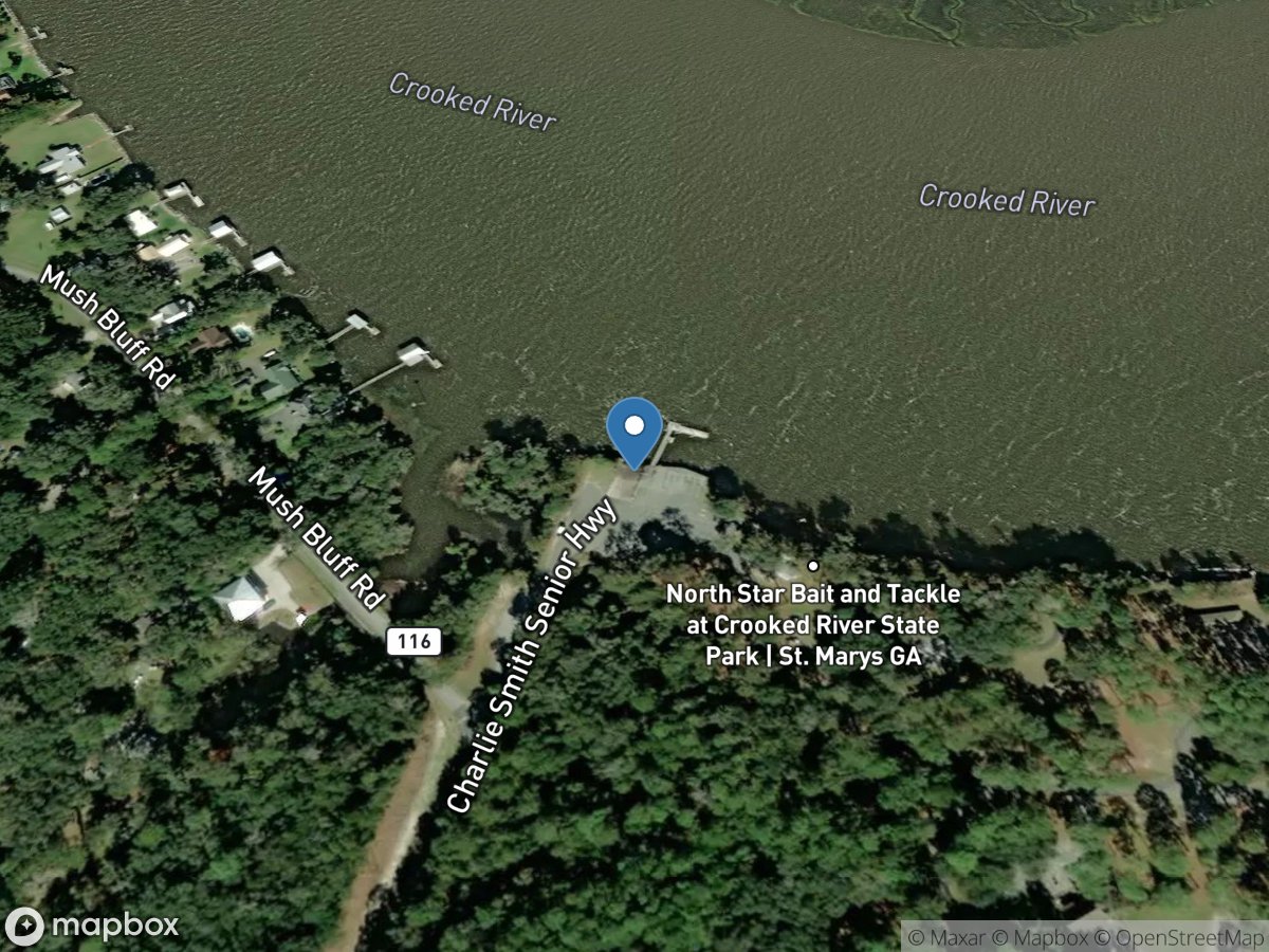
Crooked River State Park
Access Site
Crooked River
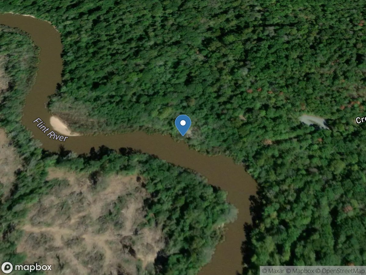
Crooks Landing
Access Site
Flint River
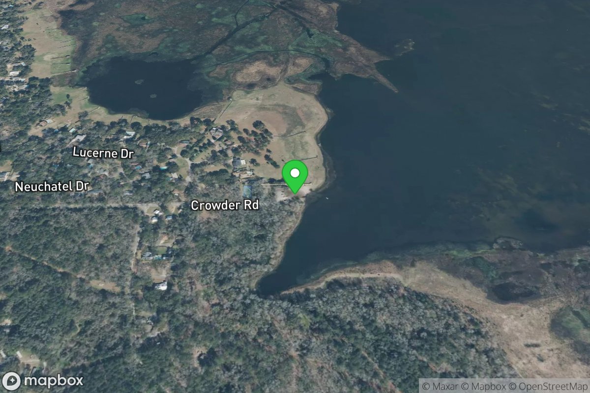
Crowder Road Landing
Access Site
Lake Jackson (Leon County)
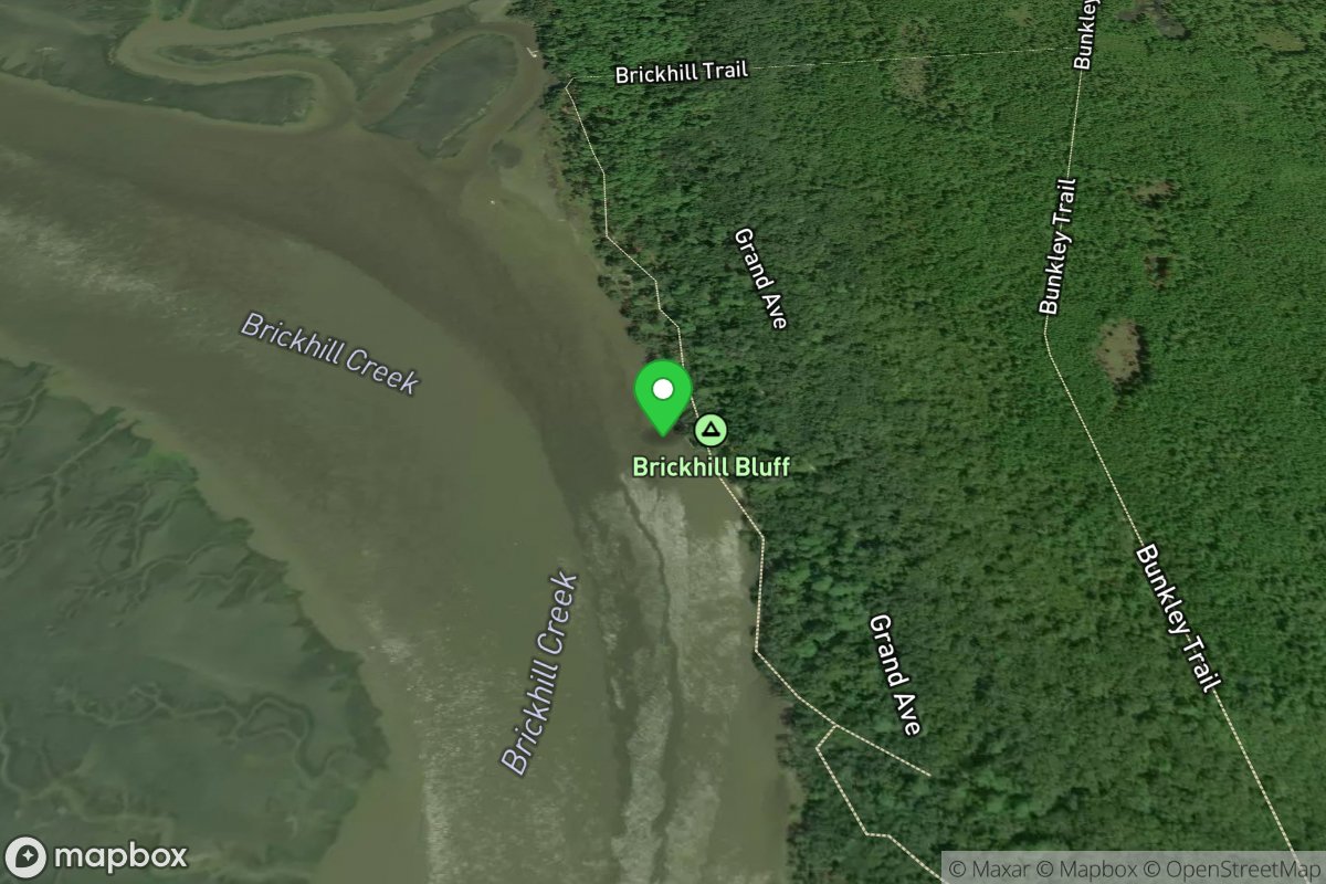
Cumberland Island NS - Brickhill
Access Site
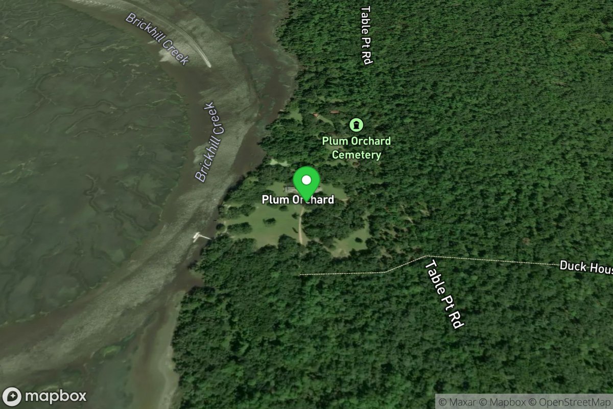
Cumberland Island NS - Plum Orchard
Access Site
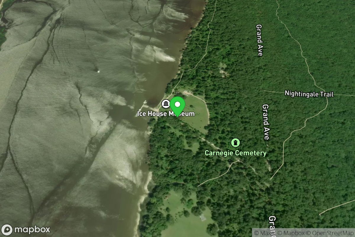
Cumberland Island NS - Sea Camp
Access Site
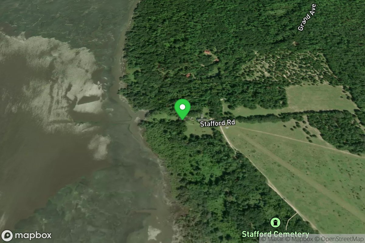
Cumberland Island NS - Stafford
Access Site
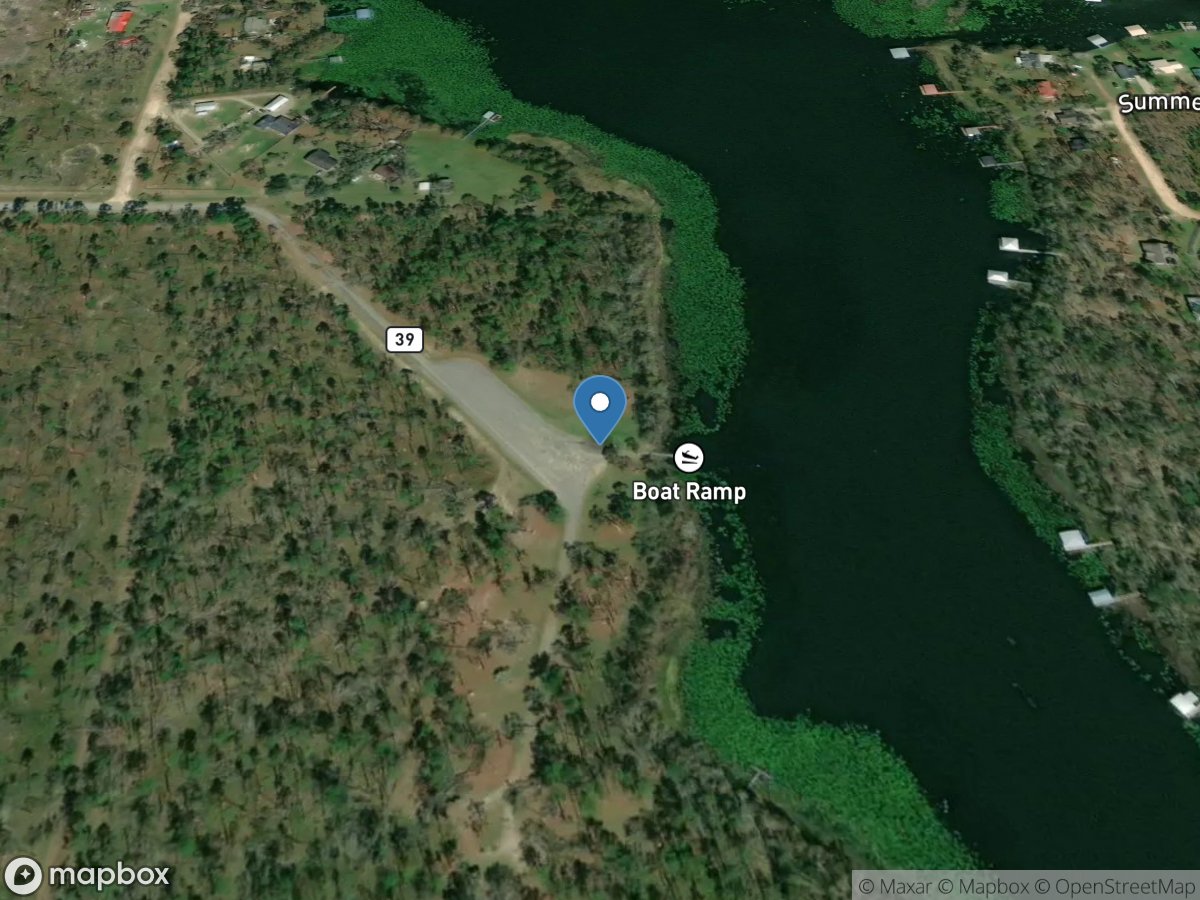
Cumming's Landing
Access Site
Lake Seminole
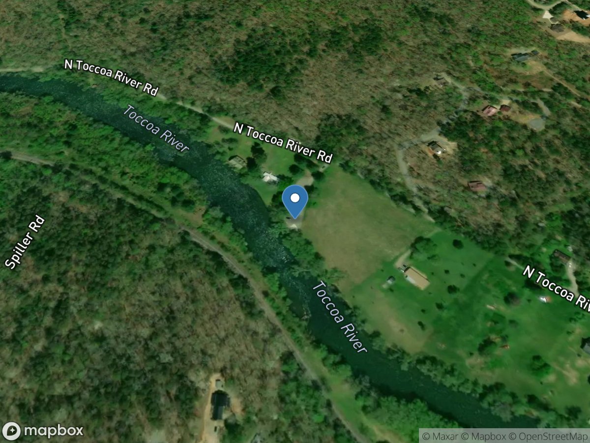
Curtis Switch Boat Launch
Access Site
Toccoa River
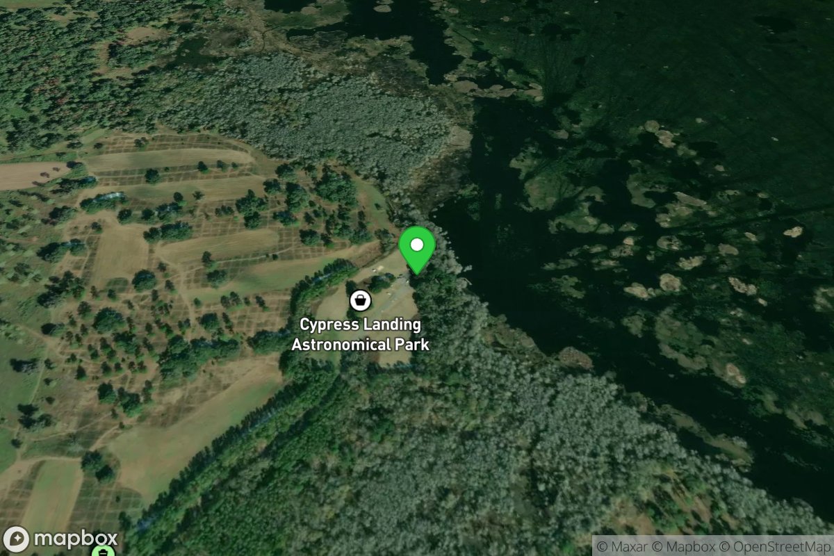
Cypress Landing Public Boat Ramp
Access Site
Lake Miccosukee
Daisy Nevils Highway (Rodgers Bridge)
Access Site
Canoochee River
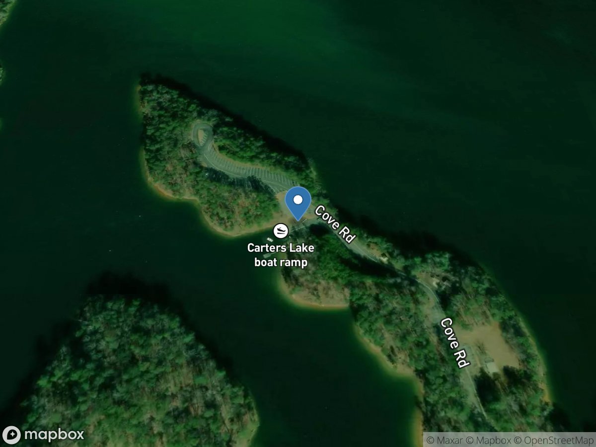
Dam Site
Access Site
Carters Lake
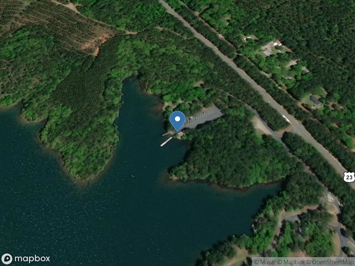
Dames Ferry Park
Access Site
Rum Creek - Lake Juliette
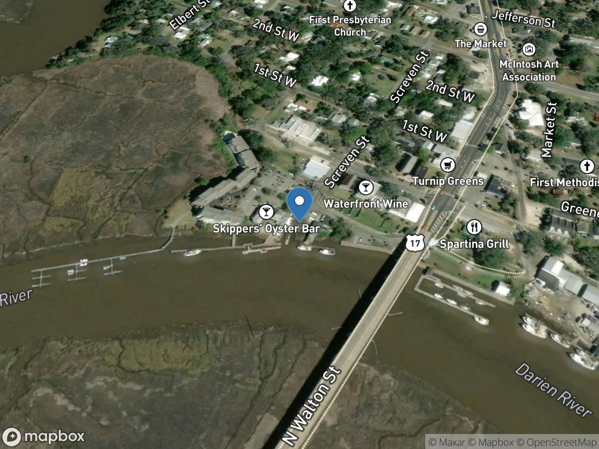
Darien City Boat Ramp and Waterfront Park
Access Site
Darien River
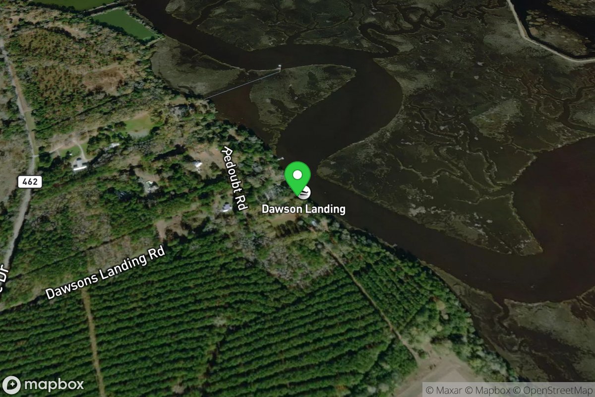
Dawson Landing
Access Site
Coosawhatchie River
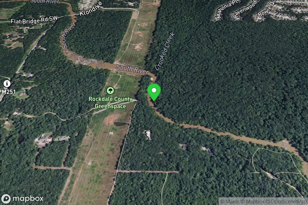
De Castro access point
Access Site
South
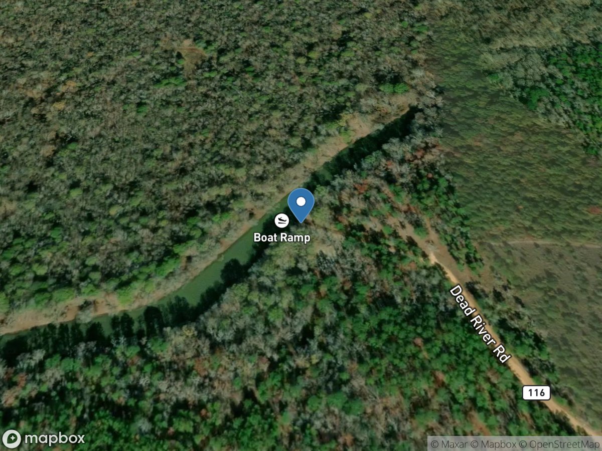
Dead River Landing
Access Site
Oconee River
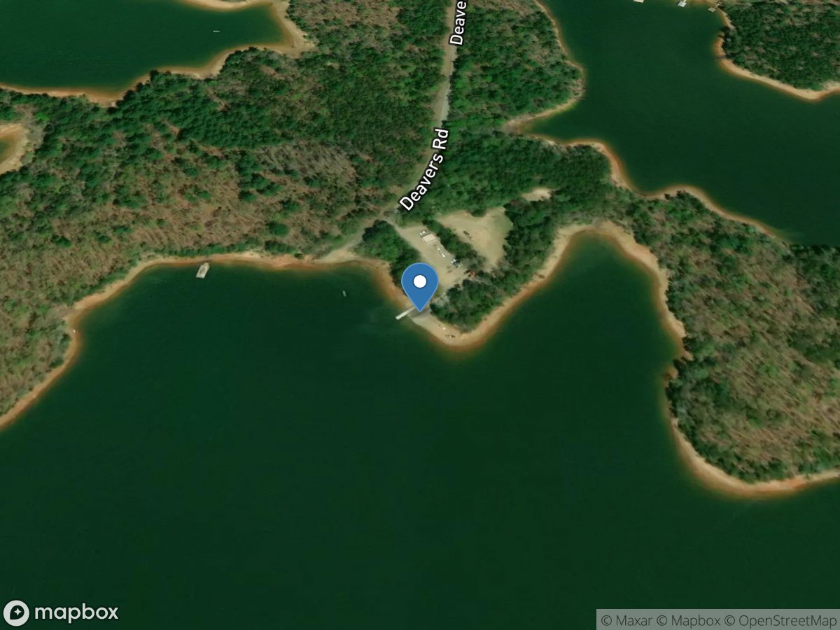
Deavertown
Access Site
Nottely River - Nottely Lake
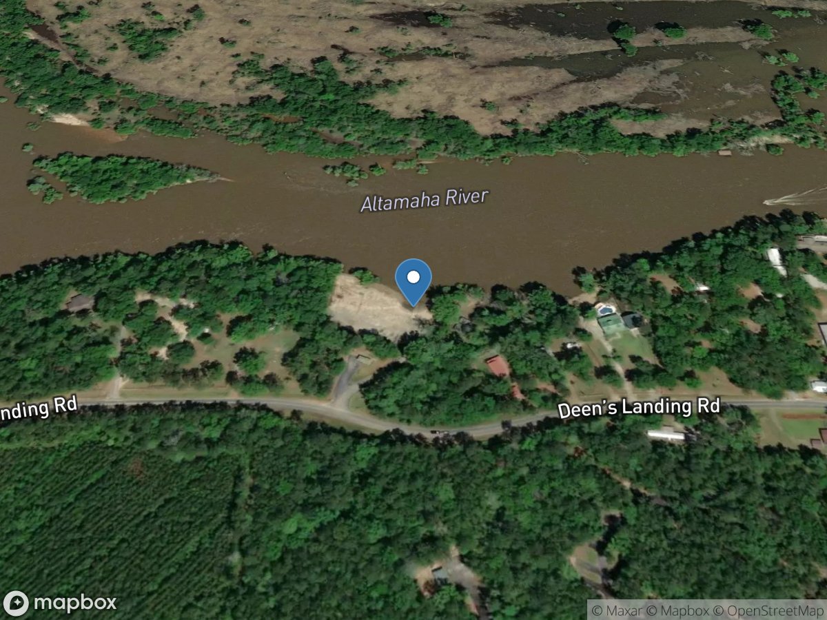
Deen's Landing
Access Site
Altamaha River
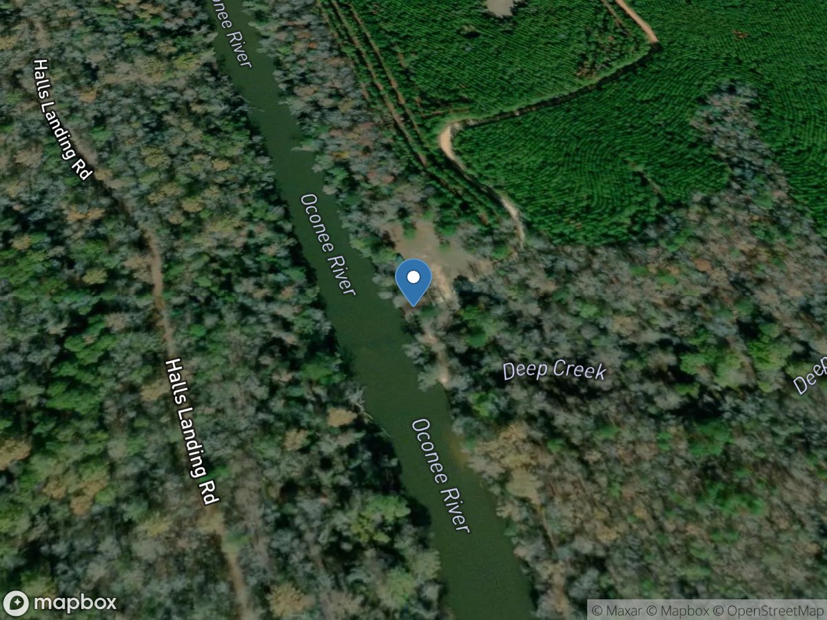
Deep Creek
Access Site
Oconee River
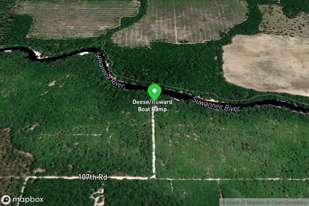
Deese - Howard Public Boat Ramp
Access Site
Suwannee River (Suwannee County)