Big Falls Campground Road to Hwy.73 wayside (11.1 miles)
Gauge Conditions
Runnable: 250.0 – 3,000.0 CFS
Uncertain. Likely low-to-moderate flow. (Please help your fellow boaters with your comments regarding flows.)
Data from American Whitewater & USGS
Run Map
Description
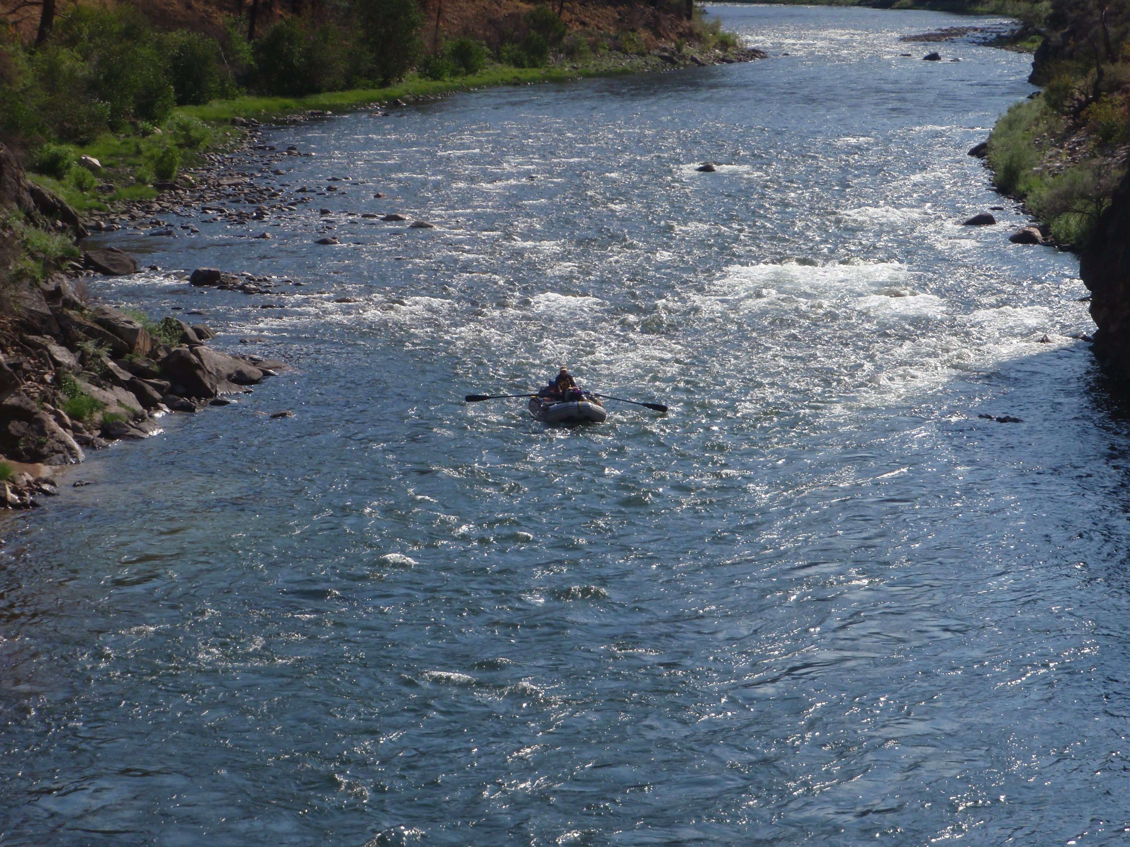
We have no specific first-hand info on this reach, however, looking at the topo maps, there are a good number of marked 'rapids'. Satellite views are inconclusive, but appear to show areas of low-grade rocky (gravel-bed?) rips. So . . . this may be mostly just swiftwater and splishy-splash, or it could be a fine beginners (intermediates?) stretch of river.
We would welcome input from anyone who has run this reach. Please leave a report (with photos, if possible) to convey whether the 'main stem' part of this run is worthwhile for beginners and/or intermediate whitewater paddlers.
Rapids in this Run (13)
 Rapid
Rapid
Put-in: Drainage area: ~355 sq.mi.
 Rapid
Rapid
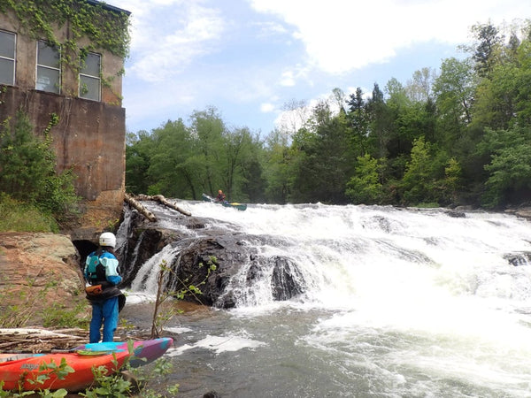
Put-in and Big Falls run-out
 Rapid
Rapid
Confluence with N.Fk.Jump
 Rapid
I
Rapid
I
marked 'Rapids' #1
 Rapid
Rapid
marked 'Rapids' #2
 Rapid
Rapid
marked 'Rapids' #3
 Rapid
Rapid
marked 'Rapids' #4
 Rapid
Rapid
marked 'Rapids' #5
 Rapid
Rapid
marked 'Rapids' #6
 Rapid
Rapid
marked 'Rapids' #7
 Rapid
Rapid
marked 'Rapids' #8
 Rapid
Rapid
marked 'Rapids' #9
 Rapid
Rapid
marked 'Rapids' #10
Difficulty
Class I-II
Length
11.1 mi
Gradient
8 ft/mi
Rapids
13
Access Points
Difficulty Classes
I Easy
II Novice
III Intermediate
IV Advanced
V Expert/Extreme
VI Unrunnable
Current Conditions
5-Day Forecast
Whitewater data from
American Whitewater
American Whitewater