Rapid
WI
marked 'Rapids' #4
Save this feature with the run it belongs to.
Gauge Conditions
Runnable: 250.0 – 3,000.0 CFS
Uncertain. Likely low-to-moderate flow. (Please help your fellow boaters with your comments regarding flows.)
Data from American Whitewater & USGS
Photo
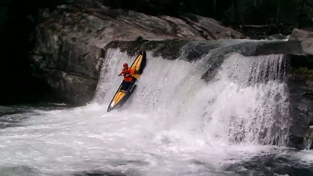
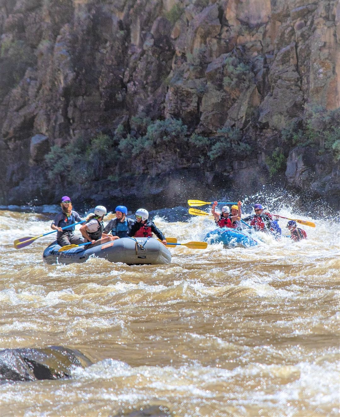
Photo courtesy of American Whitewater
Description
After a sharp turn from due-west to SouthEast, another rapids is marked. Again, aerial views show little more than minor shoals and random rocks in the river.
Location
Interactive river map
Loads as you approach this section.
Other Rapids on This Run (13)
 Rapid
N/A
Rapid
N/A
Put-in: Drainage area: ~355 sq.mi.
 Rapid
N/A
Rapid
N/A
Put-in and Big Falls run-out
 Rapid
N/A
Rapid
N/A
Confluence with N.Fk.Jump
 Rapid
I
Rapid
I
marked 'Rapids' #1
 Rapid
N/A
Rapid
N/A
marked 'Rapids' #2
 Rapid
N/A
Rapid
N/A
marked 'Rapids' #3
 Rapid
N/A
Rapid
N/A
marked 'Rapids' #5
 Rapid
N/A
Rapid
N/A
marked 'Rapids' #6
 Rapid
N/A
Rapid
N/A
marked 'Rapids' #7
 Rapid
N/A
Rapid
N/A
marked 'Rapids' #8
 Rapid
N/A
Rapid
N/A
marked 'Rapids' #9
 Rapid
N/A
Rapid
N/A
marked 'Rapids' #10
 Rapid
N/A
Rapid
N/A
Take Out
View Full Run
Big Falls Campground Road to Hwy.73 wayside (11.1 miles)
Jump
I-II
11.1 mi
Current Conditions
5-Day Forecast
Whitewater data from
American Whitewater
American Whitewater